543 Lane Rd Carrollton, GA 30117
Estimated Value: $151,773 - $567,000
3
Beds
1
Bath
1,118
Sq Ft
$273/Sq Ft
Est. Value
About This Home
This home is located at 543 Lane Rd, Carrollton, GA 30117 and is currently estimated at $305,443, approximately $273 per square foot. 543 Lane Rd is a home located in Carroll County with nearby schools including Bowdon Elementary School, Bowdon Middle School, and Bowdon High School.
Ownership History
Date
Name
Owned For
Owner Type
Purchase Details
Closed on
Mar 8, 2003
Sold by
Branton Mark J
Bought by
Branton Christopher T
Current Estimated Value
Purchase Details
Closed on
Jan 21, 1999
Sold by
Branton Christopher
Bought by
Branton Mark J
Purchase Details
Closed on
Sep 19, 1991
Bought by
Branton Christopher
Create a Home Valuation Report for This Property
The Home Valuation Report is an in-depth analysis detailing your home's value as well as a comparison with similar homes in the area
Home Values in the Area
Average Home Value in this Area
Purchase History
| Date | Buyer | Sale Price | Title Company |
|---|---|---|---|
| Branton Christopher T | -- | -- | |
| Branton Mark J | -- | -- | |
| Branton Christopher | -- | -- |
Source: Public Records
Tax History Compared to Growth
Tax History
| Year | Tax Paid | Tax Assessment Tax Assessment Total Assessment is a certain percentage of the fair market value that is determined by local assessors to be the total taxable value of land and additions on the property. | Land | Improvement |
|---|---|---|---|---|
| 2024 | $1,073 | $47,421 | $32,610 | $14,811 |
| 2023 | $1,073 | $39,553 | $26,088 | $13,465 |
| 2022 | $707 | $28,208 | $17,392 | $10,816 |
| 2021 | $107 | $23,269 | $13,914 | $9,355 |
| 2020 | $119 | $23,499 | $14,090 | $9,409 |
| 2019 | $588 | $22,736 | $14,090 | $8,646 |
| 2018 | $555 | $21,122 | $13,169 | $7,953 |
| 2017 | $556 | $21,122 | $13,169 | $7,953 |
| 2016 | $557 | $21,122 | $13,169 | $7,953 |
| 2015 | $593 | $21,214 | $10,858 | $10,357 |
| 2014 | $596 | $21,215 | $10,858 | $10,357 |
Source: Public Records
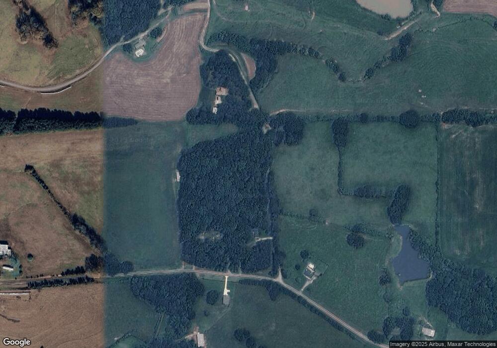
Map
Nearby Homes
- 0 Needmore Rd Unit (345 37 Acres)
- 1629 Bethesda Church Rd
- 1611 Bethesda Church Rd
- 1593 Bethesda Church Rd
- 4144 Tyus Carrollton Rd
- 450 Baxter Rd
- 1575 Bethesda Church Rd
- 4228 Tyus Carrollton Rd
- 1358 W 5 Hwy
- 0 Needmore Road- (345 37 Acres)
- 0 Needmore Rd Unit (345.37 ACRES)
- TRACT 2 Attaway Rd Unit TRACT 4.59 ACRES
- Tract 1 Attaway Road Tract 4 15 Acres Unit 185
- TRACT 1 Attaway Rd Unit 4.15 ACRES
- 1187 Attaway Rd
- 537 Craven Rd
- 305 West Dr
- 534 Craven Rd
- 534 Craven Rd Unit 137
- 558 Craven Rd
- 514 Lane Rd
- 507 Lane Rd
- 419 Maddox Rd
- 581 Lane Rd
- 0 Maddox Rd Unit 8886447
- 341 Maddox Rd
- 404 Lane Rd
- 563 Maddox Rd
- 291 Maddox Rd
- 320 Maddox Rd
- 144 Lane Rd
- 191 Maddox Rd
- 134 Lane Rd
- 240 Seabolt Way
- 90 Lane Rd
- 241 Seabolt Way
- 2517 Bethesda Church Rd
- 2515 Bethesda Church Rd
- 955 Maddox Rd
- 226 Seabolt Way