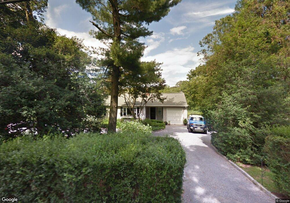
543 Locust Point Rd Rumson, NJ 07760
Estimated Value: $884,000 - $1,337,000
3
Beds
3
Baths
1,232
Sq Ft
$951/Sq Ft
Est. Value
About This Home
This home is located at 543 Locust Point Rd, Rumson, NJ 07760 and is currently estimated at $1,172,018, approximately $951 per square foot. 543 Locust Point Rd is a home located in Monmouth County with nearby schools including Navesink Elementary School, Bayshore Middle School, and Middletown - South High School.
Ownership History
Date
Name
Owned For
Owner Type
Purchase Details
Closed on
Sep 12, 2008
Sold by
Sullivan Barbara
Bought by
Eckstein Robert and Eckstein Gail
Current Estimated Value
Purchase Details
Closed on
Mar 11, 2002
Sold by
Semrod T Joseph
Bought by
Sullivan Barbara
Purchase Details
Closed on
Jul 31, 2000
Sold by
Ferrante Joseph
Bought by
Gentry Darlene
Purchase Details
Closed on
Mar 31, 1994
Sold by
Young Robert
Bought by
Ferante Joseph
Home Financials for this Owner
Home Financials are based on the most recent Mortgage that was taken out on this home.
Original Mortgage
$155,000
Interest Rate
7.27%
Create a Home Valuation Report for This Property
The Home Valuation Report is an in-depth analysis detailing your home's value as well as a comparison with similar homes in the area
Home Values in the Area
Average Home Value in this Area
Purchase History
| Date | Buyer | Sale Price | Title Company |
|---|---|---|---|
| Eckstein Robert | $774,500 | Red Bank Title Agency Inc | |
| Sullivan Barbara | $410,000 | -- | |
| Gentry Darlene | $525,000 | -- | |
| Ferante Joseph | $160,000 | -- |
Source: Public Records
Mortgage History
| Date | Status | Borrower | Loan Amount |
|---|---|---|---|
| Previous Owner | Ferante Joseph | $155,000 |
Source: Public Records
Tax History
| Year | Tax Paid | Tax Assessment Tax Assessment Total Assessment is a certain percentage of the fair market value that is determined by local assessors to be the total taxable value of land and additions on the property. | Land | Improvement |
|---|---|---|---|---|
| 2025 | $14,622 | $900,500 | $689,400 | $211,100 |
| 2024 | $14,563 | $888,900 | $681,600 | $207,300 |
| 2023 | $14,563 | $837,900 | $646,600 | $191,300 |
| 2022 | $13,790 | $699,400 | $517,300 | $182,100 |
| 2021 | $13,790 | $663,000 | $501,000 | $162,000 |
| 2020 | $14,096 | $659,300 | $501,000 | $158,300 |
| 2019 | $13,905 | $658,400 | $501,000 | $157,400 |
| 2018 | $14,109 | $651,100 | $501,000 | $150,100 |
| 2017 | $14,060 | $642,300 | $501,000 | $141,300 |
| 2016 | $13,696 | $642,700 | $501,000 | $141,700 |
| 2015 | $14,171 | $642,100 | $501,000 | $141,100 |
| 2014 | $14,257 | $630,000 | $501,000 | $129,000 |
Source: Public Records
Map
Nearby Homes
- 22 Meadowbrook Ave
- 96 East Ave Unit 82
- 26 King James Ln
- 946 Navesink River Rd
- 9 King James Ln
- 96 E East Ave Unit 37
- 942 Navesink River Rd
- 934 Navesink River Rd
- 171 Grand Ave
- 48 Starr Ct
- 502 Central Ave
- 114 Memorial Pkwy
- 498 Central Ave
- 7100 Prospect Ave
- 6998 Prospect Ave
- 500 Central Ave
- 1 Central Ave Unit 8
- 20 Brianna Ct Unit 20
- 49 Pape Dr
- 244 Van Kirk Ave
- 539 Locust Point Rd
- 547 Locust Point Rd
- 535 Locust Point Rd
- 551 Locust Point Rd
- 534 Locust Point Rd
- 531 Locust Point Rd
- 528 Locust Point Rd
- 555 Locust Point Rd
- 529 Locust Point Rd
- 525 Locust Point Rd
- 524 Locust Point Rd
- 521 Locust Point Rd
- 542 Locust Point Rd
- 563 Locust Point Rd
- 28 Red Coach Ln
- 517 Locust Point Rd
- 329 Linden Ave
- 2 Maxson Ave
- 513 Locust Point Rd
- 6 Maxson Ave
Your Personal Tour Guide
Ask me questions while you tour the home.