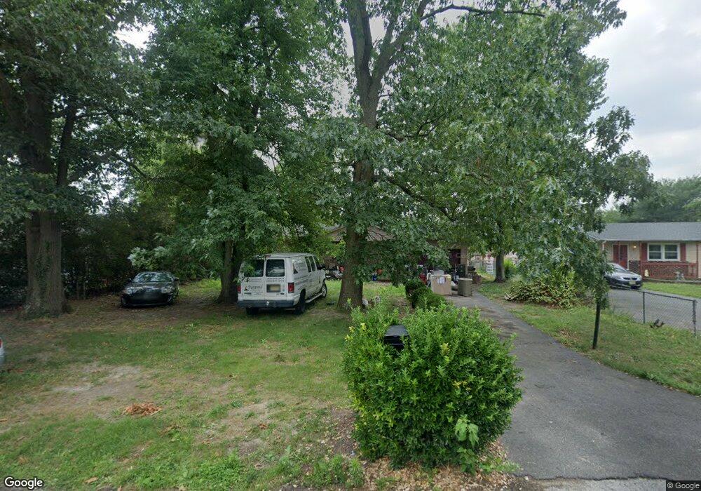
543 Margo Dr Vineland, NJ 08360
Estimated Value: $273,771 - $303,000
--
Bed
--
Bath
1,008
Sq Ft
$287/Sq Ft
Est. Value
About This Home
This home is located at 543 Margo Dr, Vineland, NJ 08360 and is currently estimated at $289,443, approximately $287 per square foot. 543 Margo Dr is a home located in Cumberland County with nearby schools including Dane Barse School, Landis Middle School, and Vineland Senior High School.
Ownership History
Date
Name
Owned For
Owner Type
Purchase Details
Closed on
Feb 25, 2004
Sold by
Gibbons Stephanie R
Bought by
Gibbons Sammie Lee
Current Estimated Value
Purchase Details
Closed on
Aug 3, 2003
Sold by
Weido Lucy
Bought by
Gibbons Sammie L
Home Financials for this Owner
Home Financials are based on the most recent Mortgage that was taken out on this home.
Original Mortgage
$115,158
Interest Rate
6.25%
Create a Home Valuation Report for This Property
The Home Valuation Report is an in-depth analysis detailing your home's value as well as a comparison with similar homes in the area
Home Values in the Area
Average Home Value in this Area
Purchase History
| Date | Buyer | Sale Price | Title Company |
|---|---|---|---|
| Gibbons Sammie Lee | -- | -- | |
| Gibbons Sammie L | $112,900 | -- |
Source: Public Records
Mortgage History
| Date | Status | Borrower | Loan Amount |
|---|---|---|---|
| Previous Owner | Gibbons Sammie L | $115,158 |
Source: Public Records
Tax History Compared to Growth
Tax History
| Year | Tax Paid | Tax Assessment Tax Assessment Total Assessment is a certain percentage of the fair market value that is determined by local assessors to be the total taxable value of land and additions on the property. | Land | Improvement |
|---|---|---|---|---|
| 2025 | $4,267 | $134,000 | $29,500 | $104,500 |
| 2024 | $4,267 | $134,000 | $29,500 | $104,500 |
| 2023 | $4,238 | $134,000 | $29,500 | $104,500 |
| 2022 | $4,112 | $134,000 | $29,500 | $104,500 |
| 2021 | $4,037 | $134,000 | $29,500 | $104,500 |
| 2020 | $3,922 | $134,000 | $29,500 | $104,500 |
| 2019 | $3,869 | $134,000 | $29,500 | $104,500 |
| 2018 | $3,767 | $134,000 | $29,500 | $104,500 |
| 2017 | $3,578 | $134,000 | $29,500 | $104,500 |
| 2016 | $3,452 | $134,000 | $29,500 | $104,500 |
| 2015 | $3,325 | $134,000 | $29,500 | $104,500 |
| 2014 | $3,144 | $131,400 | $29,500 | $101,900 |
Source: Public Records
Map
Nearby Homes
- 1300 Lilac Dr
- 1001 S West Ave
- 1146 S Delsea Dr
- 66 W Walnut Rd
- 668 W Elmer Rd
- 1040 Hickory Dr
- 1062 Hickory Dr
- 1050 Hickory Dr
- Juniper Plan at Walnut Ridge - Townhomes
- 1180 W Walnut Rd Unit F33
- 1562 Mosswood Dr
- 1920 S Delsea Dr Unit 21
- 719 3rd Street Terrace
- 5100 S Delsea Dr
- 1143 S Orchard Rd
- 1170 Chimes Terrace
- 1208 E Crescent Dr
- 559 Chestnut Terrace
- 2280 Delsea
- 1494 S East Ave
- 529 Margo Dr
- 557 Margo Dr
- 556 Foster Ave
- 573 Margo Dr
- 528 Foster Ave
- 554 Margo Dr
- 534 Margo Dr
- 572 Foster Ave
- 510 Foster Ave
- 1259 Lilac Dr
- 1253 Lilac Dr Unit 1255
- 1330 Lilac Dr
- 1270 Lilac Dr
- 541 Foster Ave
- 0 Foster Ave Unit 1006795950
- 0 Foster Ave Unit 358463
- 0 Foster Ave Unit 5702174
- 0 Foster Ave Unit 6214897
- 0 Foster Ave Unit NJCB2003170
- 0 Foster Ave Unit 557966