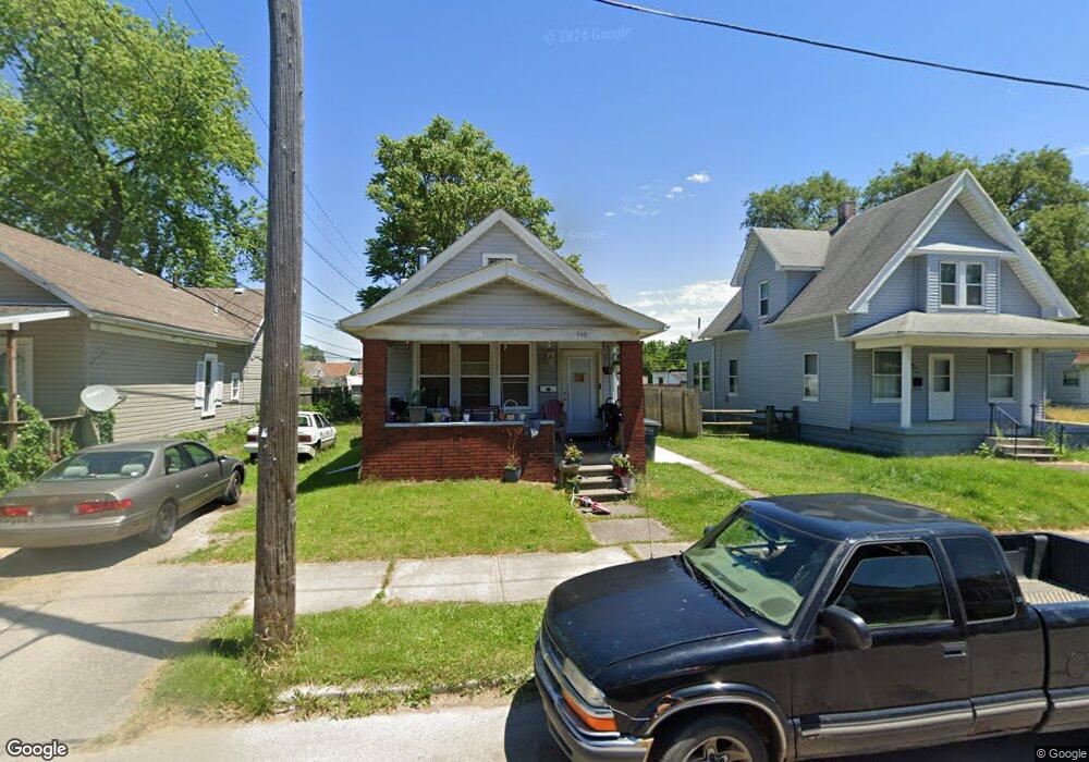
543 Maumee Ave Toledo, OH 43609
Southside NeighborhoodEstimated Value: $55,000 - $62,000
2
Beds
1
Bath
984
Sq Ft
$60/Sq Ft
Est. Value
About This Home
This home is located at 543 Maumee Ave, Toledo, OH 43609 and is currently estimated at $58,590, approximately $59 per square foot. 543 Maumee Ave is a home located in Lucas County with nearby schools including Marshall Stemm Academy, Waite High School, and Summit Academy - Toledo.
Ownership History
Date
Name
Owned For
Owner Type
Purchase Details
Closed on
Sep 23, 2019
Sold by
Garcia Raquel Marie and Mata Raquel Marie
Bought by
Garcia Guadalupe
Current Estimated Value
Purchase Details
Closed on
Mar 25, 2010
Sold by
Garcia Guadalupe
Bought by
Garcia Raquel Marie
Purchase Details
Closed on
May 19, 2004
Sold by
Fortress Michael B
Bought by
Fortress Michael B and Brown Fortress Michelle
Home Financials for this Owner
Home Financials are based on the most recent Mortgage that was taken out on this home.
Original Mortgage
$40,000
Interest Rate
10.99%
Mortgage Type
New Conventional
Purchase Details
Closed on
Mar 17, 1998
Sold by
Koester Bonnie Carol Morgan and Morgan Bonnie Carol
Bought by
Fortress Michael B
Purchase Details
Closed on
Dec 31, 1990
Sold by
Flint David L
Create a Home Valuation Report for This Property
The Home Valuation Report is an in-depth analysis detailing your home's value as well as a comparison with similar homes in the area
Home Values in the Area
Average Home Value in this Area
Purchase History
| Date | Buyer | Sale Price | Title Company |
|---|---|---|---|
| Garcia Guadalupe | -- | None Available | |
| Garcia Raquel Marie | $500 | Attorney | |
| Fortress Michael B | -- | Title Associates | |
| Fortress Michael B | $3,500 | Northwest Title Agency Of Oh | |
| -- | $19,000 | -- |
Source: Public Records
Mortgage History
| Date | Status | Borrower | Loan Amount |
|---|---|---|---|
| Previous Owner | Fortress Michael B | $40,000 |
Source: Public Records
Tax History Compared to Growth
Tax History
| Year | Tax Paid | Tax Assessment Tax Assessment Total Assessment is a certain percentage of the fair market value that is determined by local assessors to be the total taxable value of land and additions on the property. | Land | Improvement |
|---|---|---|---|---|
| 2024 | $1,308 | $8,400 | $1,855 | $6,545 |
| 2023 | $695 | $7,910 | $1,505 | $6,405 |
| 2022 | $709 | $7,910 | $1,505 | $6,405 |
| 2021 | $702 | $7,910 | $1,505 | $6,405 |
| 2020 | $739 | $7,700 | $1,435 | $6,265 |
| 2019 | $739 | $7,700 | $1,435 | $6,265 |
| 2018 | $646 | $7,700 | $1,435 | $6,265 |
| 2017 | $2,010 | $7,525 | $1,400 | $6,125 |
| 2016 | $1,065 | $21,500 | $4,000 | $17,500 |
| 2015 | $714 | $21,500 | $4,000 | $17,500 |
| 2014 | $710 | $7,530 | $1,400 | $6,130 |
| 2013 | $474 | $7,530 | $1,400 | $6,130 |
Source: Public Records
Map
Nearby Homes
- 518 South Ave
- 559 Prouty Ave
- 578 Prouty Ave
- 570 Orchard St
- 616 Pleasant Place
- 244 Knower St
- 620 South Ave
- 641 South Ave
- 642 Orchard St
- 511 Congress St
- 318 Courtland Ave
- 407 Western Ave
- 308 Crittenden Ave
- 713 Orchard St
- 356 Sumner St
- 714 Walbridge Ave
- 702 Boalt St
- 210 Western Ave
- 215 Eastern Ave
- 763 Redwood Ave