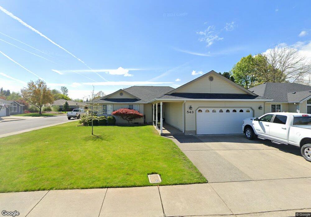
543 Mitchell Way Central Point, OR 97502
Estimated Value: $468,799 - $513,000
3
Beds
2
Baths
1,816
Sq Ft
$271/Sq Ft
Est. Value
About This Home
This home is located at 543 Mitchell Way, Central Point, OR 97502 and is currently estimated at $492,200, approximately $271 per square foot. 543 Mitchell Way is a home located in Jackson County with nearby schools including Richardson Elementary School, Scenic Middle School, and Crater High School.
Ownership History
Date
Name
Owned For
Owner Type
Purchase Details
Closed on
Apr 21, 1999
Sold by
Tom Malot Construction Co Inc
Bought by
Tibbets Richard T and Tibbets Kelly J
Current Estimated Value
Home Financials for this Owner
Home Financials are based on the most recent Mortgage that was taken out on this home.
Original Mortgage
$114,500
Outstanding Balance
$27,061
Interest Rate
6.98%
Estimated Equity
$465,139
Create a Home Valuation Report for This Property
The Home Valuation Report is an in-depth analysis detailing your home's value as well as a comparison with similar homes in the area
Purchase History
| Date | Buyer | Sale Price | Title Company |
|---|---|---|---|
| Tibbets Richard T | $160,000 | Key Title Company |
Source: Public Records
Mortgage History
| Date | Status | Borrower | Loan Amount |
|---|---|---|---|
| Open | Tibbets Richard T | $114,500 |
Source: Public Records
Tax History
| Year | Tax Paid | Tax Assessment Tax Assessment Total Assessment is a certain percentage of the fair market value that is determined by local assessors to be the total taxable value of land and additions on the property. | Land | Improvement |
|---|---|---|---|---|
| 2026 | $5,056 | $305,530 | -- | -- |
| 2025 | $4,932 | $296,640 | $119,770 | $176,870 |
| 2024 | $4,932 | $288,000 | $116,280 | $171,720 |
| 2023 | $4,773 | $279,620 | $112,890 | $166,730 |
| 2022 | $4,662 | $279,620 | $112,890 | $166,730 |
| 2021 | $4,529 | $271,480 | $109,610 | $161,870 |
| 2020 | $4,397 | $263,580 | $106,420 | $157,160 |
| 2019 | $4,288 | $248,460 | $100,310 | $148,150 |
| 2018 | $4,158 | $241,230 | $97,390 | $143,840 |
| 2017 | $4,053 | $241,230 | $97,390 | $143,840 |
| 2016 | $3,935 | $227,390 | $91,800 | $135,590 |
| 2015 | $3,770 | $227,390 | $91,800 | $135,590 |
| 2014 | $3,674 | $214,340 | $86,520 | $127,820 |
Source: Public Records
Map
Nearby Homes
- 420 Mayberry Ln
- 884 Mendolia Way
- 407 Silver Creek Dr
- 404 Silver Creek Dr
- 166 Nadine Ln
- 1134 Steamboat Dr
- 626 Griffin Oaks Dr
- 349 W Pine St
- 209 Corcoran Ln
- 3288 Grant Rd
- 650 Golden Peak Dr
- 3371 Freeland Rd
- 185 Logan Ave
- 0 Boulder Ridge St
- 3307 Freeland Rd
- 871 Holley Way
- 3220 Freeland Rd
- 545 Bridge Creek Dr
- 895 Holley Way
- 342 Hazel St
- 551 Mitchell Way
- 921 Mendolia Way
- 557 Mitchell Way
- 924 Mendolia Way
- 928 Mendolia Way
- 917 Mendolia Way
- 542 Mitchell Way
- 550 Mitchell Way
- 567 Mitchell Way
- 330 Meadow Lark Way
- 558 Mitchell Way
- 524 Mitchell Way
- 534 Mitchell Way
- 913 Mendolia Way
- 340 Meadow Lark Way
- 916 Mendolia Way
- 575 Mitchell Way
- 566 Mitchell Way
- 211 Donna Way
- 313 Donna Way
Your Personal Tour Guide
Ask me questions while you tour the home.