543 N Crafford St Bushnell, IL 61422
Estimated Value: $55,000 - $60,684
3
Beds
--
Bath
949
Sq Ft
$62/Sq Ft
Est. Value
About This Home
This home is located at 543 N Crafford St, Bushnell, IL 61422 and is currently estimated at $58,921, approximately $62 per square foot. 543 N Crafford St is a home located in McDonough County with nearby schools including Bushnell-Prairie City Elementary School, Bushnell-Prairie City Junior High School, and Bushnell-Prairie City High School.
Ownership History
Date
Name
Owned For
Owner Type
Purchase Details
Closed on
May 29, 2019
Sold by
Hartwig Marjorie L
Bought by
Slater Caleb L
Current Estimated Value
Home Financials for this Owner
Home Financials are based on the most recent Mortgage that was taken out on this home.
Original Mortgage
$35,625
Outstanding Balance
$31,323
Interest Rate
4.1%
Mortgage Type
New Conventional
Estimated Equity
$27,598
Create a Home Valuation Report for This Property
The Home Valuation Report is an in-depth analysis detailing your home's value as well as a comparison with similar homes in the area
Home Values in the Area
Average Home Value in this Area
Purchase History
| Date | Buyer | Sale Price | Title Company |
|---|---|---|---|
| Slater Caleb L | $37,500 | None Available |
Source: Public Records
Mortgage History
| Date | Status | Borrower | Loan Amount |
|---|---|---|---|
| Open | Slater Caleb L | $35,625 |
Source: Public Records
Tax History Compared to Growth
Tax History
| Year | Tax Paid | Tax Assessment Tax Assessment Total Assessment is a certain percentage of the fair market value that is determined by local assessors to be the total taxable value of land and additions on the property. | Land | Improvement |
|---|---|---|---|---|
| 2024 | $787 | $14,560 | $2,045 | $12,515 |
| 2023 | $751 | $14,406 | $2,023 | $12,383 |
| 2022 | $632 | $13,023 | $1,829 | $11,194 |
| 2021 | $633 | $12,468 | $1,751 | $10,717 |
| 2020 | $650 | $14,018 | $1,726 | $12,292 |
| 2019 | $185 | $12,808 | $1,798 | $11,010 |
| 2018 | $0 | $13,076 | $1,836 | $11,240 |
| 2017 | $185 | $12,889 | $1,810 | $11,079 |
| 2016 | $0 | $11,918 | $1,674 | $10,244 |
| 2015 | -- | $11,918 | $1,674 | $10,244 |
| 2014 | -- | $11,736 | $1,648 | $10,088 |
| 2013 | -- | $12,676 | $1,780 | $10,896 |
Source: Public Records
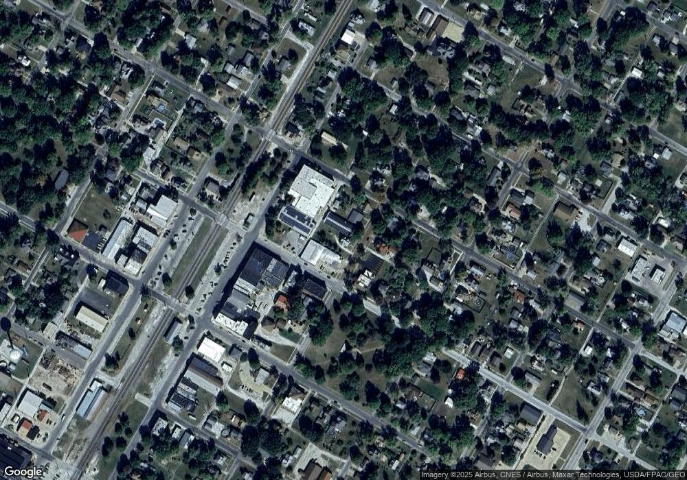
Map
Nearby Homes
- 651 N Sperry St
- 195 W Hail St
- 310 N Dean St
- 777 Cole St
- 555 N Jackson St
- 134 W Osborne St
- 924 N Crafford St
- 425 N Jackson St
- 994 N Crafford St
- 651 N Washington St
- 1024 W Main St
- 4 Hiel Dr
- 295 W Harris Ave
- 14 Hillcrest Dr
- 20620 N 2300th Rd
- 20620 N 2300 Rd
- 22561 N Cornerstone Rd
- 18520 N 1450th Rd
- 300 S Park St
- 16905 E 1600th St
- 573 N Crafford St
- 591 N Crafford St
- 560 N Crafford St
- 596 N Crafford St
- 609 N Crafford St
- 245 E Hail St
- 485 N Crafford St
- 623 N Crafford St
- 257 E Hail St
- 616 E Main St
- 606 N Crafford St
- 260 E Gridley St
- 465 N Crafford St
- 285 E Hail St
- 622 N Crafford St
- 645 N Crafford St
- 447 N Crafford St
- 648 E Main St
- 15 E Gridley St
- 634 N Crafford St