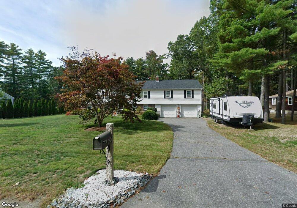
543 S Meadow Rd Unit 1 Lancaster, MA 01523
Estimated Value: $599,779 - $674,000
4
Beds
3
Baths
2,465
Sq Ft
$257/Sq Ft
Est. Value
About This Home
This home is located at 543 S Meadow Rd Unit 1, Lancaster, MA 01523 and is currently estimated at $633,445, approximately $256 per square foot. 543 S Meadow Rd Unit 1 is a home located in Worcester County with nearby schools including Mary Rowlandson Elementary School, Luther Burbank Middle School, and Nashoba Regional High School.
Ownership History
Date
Name
Owned For
Owner Type
Purchase Details
Closed on
May 25, 2012
Sold by
Jackson Robert J
Bought by
Jacque Darrin T
Current Estimated Value
Purchase Details
Closed on
Dec 29, 2011
Sold by
Digital Fcu
Bought by
Jackson Robert J
Purchase Details
Closed on
Oct 28, 2011
Sold by
Szemanek Catherine A
Bought by
Digital Federal Cu
Create a Home Valuation Report for This Property
The Home Valuation Report is an in-depth analysis detailing your home's value as well as a comparison with similar homes in the area
Home Values in the Area
Average Home Value in this Area
Purchase History
| Date | Buyer | Sale Price | Title Company |
|---|---|---|---|
| Jacque Darrin T | $290,000 | -- | |
| Jackson Robert J | $135,700 | -- | |
| Digital Federal Cu | $98,000 | -- |
Source: Public Records
Tax History Compared to Growth
Tax History
| Year | Tax Paid | Tax Assessment Tax Assessment Total Assessment is a certain percentage of the fair market value that is determined by local assessors to be the total taxable value of land and additions on the property. | Land | Improvement |
|---|---|---|---|---|
| 2025 | $8,523 | $527,400 | $121,400 | $406,000 |
| 2024 | $8,610 | $493,100 | $113,000 | $380,100 |
| 2023 | $8,258 | $480,400 | $102,700 | $377,700 |
| 2022 | $7,698 | $395,800 | $105,000 | $290,800 |
| 2021 | $7,295 | $365,100 | $105,000 | $260,100 |
| 2020 | $7,825 | $394,200 | $105,000 | $289,200 |
| 2019 | $6,936 | $351,200 | $105,000 | $246,200 |
| 2018 | $6,569 | $328,800 | $105,000 | $223,800 |
| 2016 | $6,043 | $309,100 | $104,100 | $205,000 |
| 2015 | $5,748 | $306,400 | $104,100 | $202,300 |
| 2014 | $5,435 | $287,400 | $104,100 | $183,300 |
Source: Public Records
Map
Nearby Homes
- 53 Beach Point Rd
- 19 Fitch Farm Rd
- 76 Sterling St
- 20 Willow St
- 290 Sterling St
- 51 Rigby St
- 19 Magnolia Ave
- 54 S Meadow Rd
- 38 Lane Ave Unit B
- 22 Forest Ave
- 1 Grady St
- 55 Sterling St Unit 306
- 55 Sterling St Unit 314
- 55 Sterling St Unit 212
- 23 Ash St
- 6 Vineyard Ave
- 57 Clark St
- 13 Simon Ct
- 201-203 Stone St
- 201 Stone St Unit 203
- 543 S Meadow Rd
- 531 S Meadow Rd
- 555 S Meadow Rd
- 540 S Meadow Rd
- 519 S Meadow Rd
- 519 S Meadow Rd
- 519 S Meadow Rd Unit 1
- 558 S Meadow Rd
- 569 S Meadow Rd
- 514 S Meadow Rd
- 568 S Meadow Rd
- 503 S Meadow Rd
- 37 Cole Farm Rd
- 27 Hemlock Ln
- 12 Cole Farm Rd
- 491 S Meadow Rd
- 30 Cole Farm Rd
- 47 Hemlock Ln
- 47 Hemlock Ln
- 494 S Meadow Rd