Estimated Value: $66,000 - $100,000
1
Bed
1
Bath
384
Sq Ft
$216/Sq Ft
Est. Value
About This Home
This home is located at 543 S Rd Rd, Afton, OK 74331 and is currently estimated at $83,000, approximately $216 per square foot. 543 S Rd Rd is a home with nearby schools including Afton Elementary School, Afton High School, and Fairland Apostolic Christian School.
Ownership History
Date
Name
Owned For
Owner Type
Purchase Details
Closed on
Jun 14, 2017
Sold by
Kennedy Chestopher E
Bought by
Kennedy Katherine D and Kennedy Christpher E
Current Estimated Value
Purchase Details
Closed on
Feb 23, 2009
Sold by
Macdonald Marianne
Bought by
Kennerly Christopher and Kennerly Katherine
Purchase Details
Closed on
Jan 3, 1997
Bought by
Copen Susan
Purchase Details
Closed on
Sep 14, 1994
Bought by
Copen Charles R
Purchase Details
Closed on
Feb 28, 1994
Bought by
Goins Billy Vt and Goins Pat
Create a Home Valuation Report for This Property
The Home Valuation Report is an in-depth analysis detailing your home's value as well as a comparison with similar homes in the area
Purchase History
We collect this data history from publicly available records. To have your information removed, we recommend requesting removal directly through your county’s website.
| Date | Buyer | Sale Price | Title Company |
|---|---|---|---|
| Kennedy Katherine D | -- | None Available | |
| Kennerly Christopher | $27,000 | None Available | |
| Copen Susan | $3,000 | -- | |
| Copen Charles R | $4,000 | -- | |
| Goins Billy Vt | -- | -- |
Source: Public Records
Tax History
| Year | Tax Paid | Tax Assessment Tax Assessment Total Assessment is a certain percentage of the fair market value that is determined by local assessors to be the total taxable value of land and additions on the property. | Land | Improvement |
|---|---|---|---|---|
| 2025 | $426 | $5,494 | $1,853 | $3,641 |
| 2024 | $406 | $5,232 | $1,853 | $3,379 |
| 2023 | $406 | $4,983 | $1,853 | $3,130 |
| 2022 | $339 | $4,746 | $1,853 | $2,893 |
| 2021 | $323 | $4,520 | $1,853 | $2,667 |
| 2020 | $307 | $4,304 | $1,853 | $2,451 |
| 2019 | $293 | $4,100 | $1,853 | $2,247 |
| 2018 | $293 | $4,100 | $1,853 | $2,247 |
| 2017 | $0 | $3,867 | $1,724 | $2,143 |
| 2016 | -- | $3,682 | $1,630 | $2,052 |
| 2015 | $177 | $3,576 | $1,583 | $1,993 |
| 2014 | $177 | $3,472 | $3,244 | $228 |
Source: Public Records
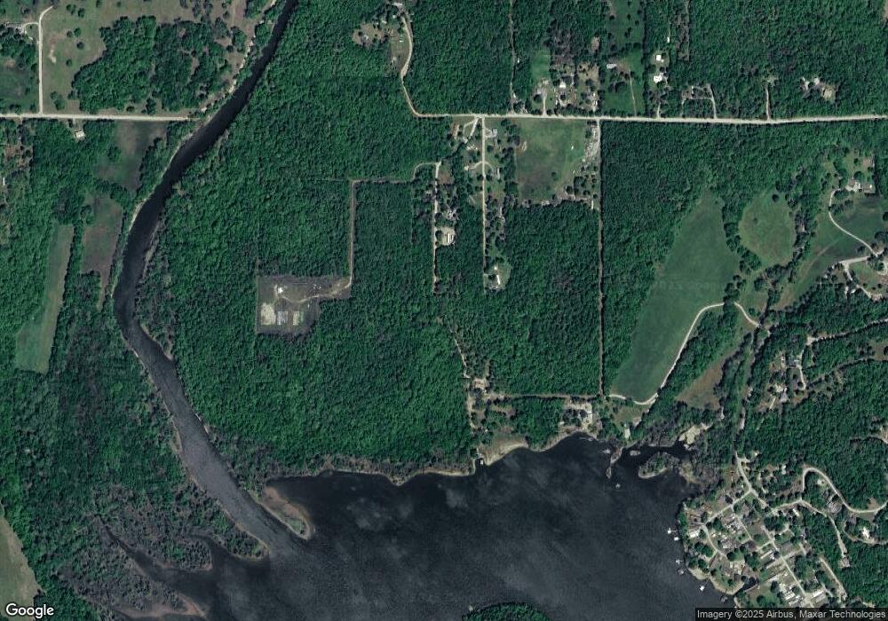
Map
Nearby Homes
- 54301 E 233 Rd
- 54601 E 233 Rd
- 24100 S 550 Rd
- 24446 E Ant Hill Cir
- TBD E Ferrell Dr
- 24773 S Lakeside Cir
- 24606 S Red Bud Cir
- 24901 S Deer Valley Rd
- 25960 S 548 Rd
- 258072 S 554 Rd
- 0 Red Bud Loop
- Redbud Loop
- TBD Red Bud Loop
- 705 Chickasaw St
- 0 Tbd Locust Dr
- 52990 E 220 Rd
- 510 1st St
- 55613 E 260 Rd
- 402 Cherokee Dr
- 813 Cherokee Dr
- 23510 S 557 Rd
- 54501 E 240 Rd
- 23901 S 543 Rd
- 54348 E 240 Rd
- 0 E 240 Rd Unit 20-118
- 0 E 240 Rd Unit 19-1541
- 0 E 240 Rd Unit 19-120
- 0 E 240 Rd Unit 19-69
- 0 E 240 Rd Unit 19-26
- 0 E 240 Rd Unit 18-1610
- 0 E 240 Rd Unit 13-1616
- 0 E 240 Rd Unit 7-796
- 0 E 240 Rd Unit 5-2845
- 0 E 240 Rd Unit 20-1433
- 0 E 233 Rd Unit 18-2813
- 0 E 233 Rd Unit 19-2120
- 0 E 233 Rd Unit 20-839
- 54420 E 240 Rd
- 54450 E 240 Rd
- 54490 E 240 Rd
Your Personal Tour Guide
Ask me questions while you tour the home.