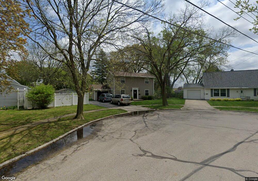
543 Scottdale Ct Adrian, MI 49221
Estimated Value: $193,000 - $199,000
3
Beds
2
Baths
1,408
Sq Ft
$139/Sq Ft
Est. Value
About This Home
This home is located at 543 Scottdale Ct, Adrian, MI 49221 and is currently estimated at $195,573, approximately $138 per square foot. 543 Scottdale Ct is a home located in Lenawee County with nearby schools including Adrian High School, Berean Baptist Academy, and St. Stephen Lutheran School.
Ownership History
Date
Name
Owned For
Owner Type
Purchase Details
Closed on
Jan 5, 2011
Sold by
Breckel Robert F and Breckel Jill H
Bought by
Breckel Robert H and Breckel Carrie L
Current Estimated Value
Home Financials for this Owner
Home Financials are based on the most recent Mortgage that was taken out on this home.
Original Mortgage
$72,000
Outstanding Balance
$2,204
Interest Rate
4.65%
Mortgage Type
New Conventional
Estimated Equity
$193,369
Purchase Details
Closed on
May 20, 2009
Sold by
Breckel Robert F and Breckel Jill H
Bought by
The Robert And Jill Breckel Trust
Create a Home Valuation Report for This Property
The Home Valuation Report is an in-depth analysis detailing your home's value as well as a comparison with similar homes in the area
Home Values in the Area
Average Home Value in this Area
Purchase History
| Date | Buyer | Sale Price | Title Company |
|---|---|---|---|
| Breckel Robert H | $90,000 | None Available | |
| The Robert And Jill Breckel Trust | -- | None Available |
Source: Public Records
Mortgage History
| Date | Status | Borrower | Loan Amount |
|---|---|---|---|
| Open | Breckel Robert H | $72,000 |
Source: Public Records
Tax History Compared to Growth
Tax History
| Year | Tax Paid | Tax Assessment Tax Assessment Total Assessment is a certain percentage of the fair market value that is determined by local assessors to be the total taxable value of land and additions on the property. | Land | Improvement |
|---|---|---|---|---|
| 2025 | $2,982 | $81,700 | $0 | $0 |
| 2024 | $1,938 | $76,600 | $0 | $0 |
| 2023 | $2,199 | $70,900 | $0 | $0 |
| 2022 | $1,883 | $66,100 | $0 | $0 |
| 2021 | $1,848 | $60,900 | $0 | $0 |
| 2020 | $1,842 | $56,600 | $0 | $0 |
| 2019 | $118,883 | $53,900 | $0 | $0 |
| 2018 | $1,781 | $62,890 | $0 | $0 |
| 2017 | $1,724 | $50,399 | $0 | $0 |
| 2016 | $2,422 | $46,233 | $0 | $0 |
| 2014 | -- | $40,200 | $0 | $0 |
Source: Public Records
Map
Nearby Homes
- 1035 Scottdale Dr
- 962 Vine St
- 842 Burr St
- 421 S Madison St
- 1227 Sherman St
- 301 Ohio River Dr Unit LOT 52
- 404 S Mckenzie St
- 903 Michigan Ave
- 1136 Michigan Ave
- 3520 Crestone Way
- 2004 Green Acres Dr
- 2000 W Beecher St
- 2008 Green Acres Dr
- 2010 Green Acres Dr
- 2026 Green Acres Dr
- 2012 Green Acres Dr
- 705 College Ave
- 446 Allis St
- 2015 Green Acres Dr
- 415 W Beecher St
- 553 Scottdale Ct
- 1025 Scottdale Dr
- 556 S Scott St
- 1042 Oram Dr
- 554 Scottdale Ct
- 1015 Scottdale Dr
- 1052 Oram Dr
- 544 Scottdale Ct
- 1032 Oram Dr
- 1032 Oram Dr Unit ORAM
- 566 S Scott St
- 1022 Oram Dr
- 1030 Scottdale Dr
- 1005 Scottdale Dr
- 1065 Scottdale Dr
- 1062 Oram Dr
- 1020 Scottdale Dr
- 1040 Scottdale Dr
- 576 S Scott St
- 1010 Scottdale Dr