Estimated Value: $276,000 - $350,000
--
Bed
4
Baths
1,664
Sq Ft
$191/Sq Ft
Est. Value
About This Home
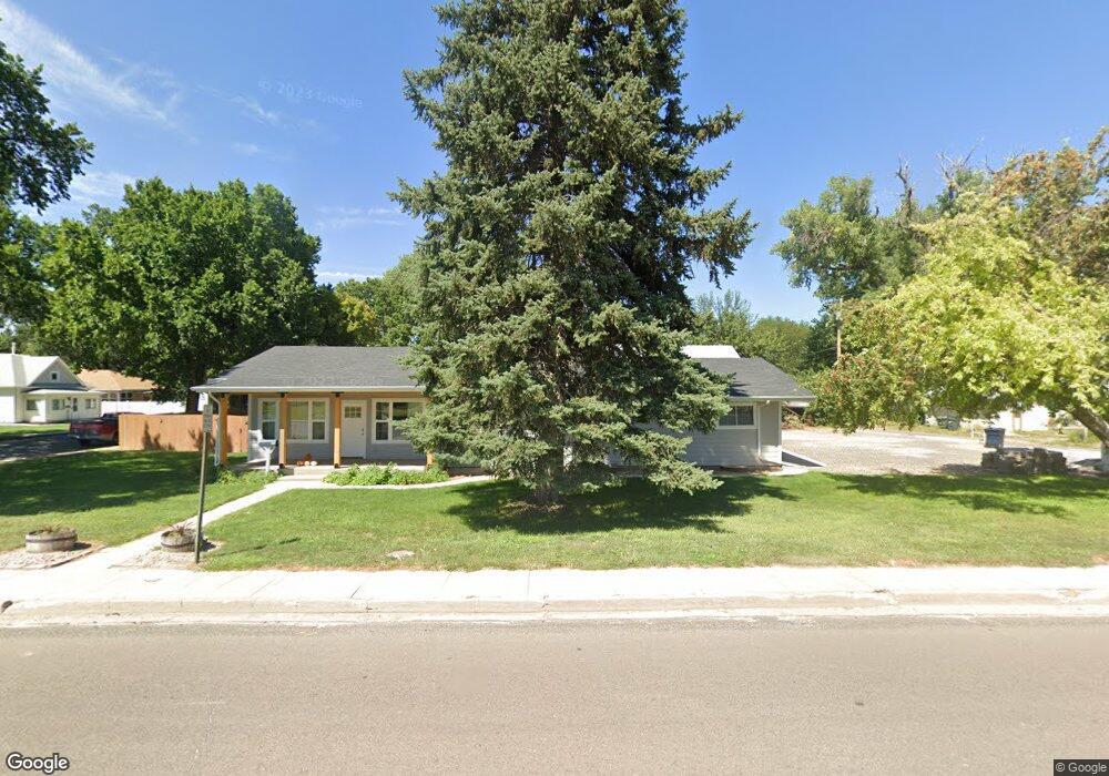
This home is located at 543 W 7th St, Wray, CO 80758 and is currently estimated at $317,788, approximately $190 per square foot. 543 W 7th St is a home located in Yuma County with nearby schools including Wray Elementary School, Buchanan Middle School, and Wray Junior/Senior High School.
Ownership History
Date
Name
Owned For
Owner Type
Purchase Details
Closed on
May 17, 2019
Sold by
Equitable Savings And Loan Association
Bought by
Kuntz Karson and Kuntz Kelcey
Current Estimated Value
Home Financials for this Owner
Home Financials are based on the most recent Mortgage that was taken out on this home.
Original Mortgage
$153,000
Outstanding Balance
$134,245
Interest Rate
4.1%
Mortgage Type
New Conventional
Estimated Equity
$183,543
Purchase Details
Closed on
Oct 2, 2018
Sold by
Dicksonn Nicol L and Listol Andrew J
Bought by
Equitable Savings And Loan Assn
Purchase Details
Closed on
Sep 7, 2016
Sold by
Dickson Dean D
Bought by
Dickson Nicole L and Listol Andrew J
Home Financials for this Owner
Home Financials are based on the most recent Mortgage that was taken out on this home.
Original Mortgage
$188,500
Interest Rate
3.48%
Mortgage Type
New Conventional
Create a Home Valuation Report for This Property
The Home Valuation Report is an in-depth analysis detailing your home's value as well as a comparison with similar homes in the area
Home Values in the Area
Average Home Value in this Area
Purchase History
| Date | Buyer | Sale Price | Title Company |
|---|---|---|---|
| Kuntz Karson | $180,000 | None Available | |
| Equitable Savings And Loan Assn | -- | None Available | |
| Dickson Nicole L | -- | None Available |
Source: Public Records
Mortgage History
| Date | Status | Borrower | Loan Amount |
|---|---|---|---|
| Open | Kuntz Karson | $153,000 | |
| Previous Owner | Dickson Nicole L | $188,500 |
Source: Public Records
Tax History Compared to Growth
Tax History
| Year | Tax Paid | Tax Assessment Tax Assessment Total Assessment is a certain percentage of the fair market value that is determined by local assessors to be the total taxable value of land and additions on the property. | Land | Improvement |
|---|---|---|---|---|
| 2024 | $1,627 | $17,010 | $0 | $0 |
| 2023 | $1,627 | $24,586 | $955 | $23,631 |
| 2022 | $1,544 | $11,154 | $955 | $10,199 |
| 2021 | $975 | $11,154 | $955 | $10,199 |
| 2020 | $937 | $10,707 | $955 | $9,752 |
| 2019 | $949 | $10,646 | $955 | $9,691 |
| 2018 | $886 | $8,830 | $0 | $0 |
| 2017 | $768 | $8,620 | $0 | $0 |
| 2016 | $806 | $9,060 | $0 | $0 |
| 2015 | $722 | $9,060 | $0 | $0 |
| 2014 | $662 | $8,320 | $0 | $0 |
| 2013 | $662 | $8,320 | $0 | $0 |
Source: Public Records
Map
Nearby Homes
- 549 Emerson St
- 526 Emerson St
- 731 W 9th St
- 820 Grant St Unit D
- 820 Grant St Unit E
- 820 Grant St Unit G
- 541 W 5th St
- G4 Grant St Unit G4
- 734 W 8th St
- 841 Dexter St
- 742 W 9th St
- 924 Grant St
- 410 Clay St Unit 9
- TBD Dexter St Unit Lot B
- 440 Blake St
- 1021 Grant St
- 1124 W 7th St
- 1037 Cottonwood Dr
- 18124 U S Highway 385
- 30342 Us Highway 34
- 558 Emerson St
- 558 Emerson St
- 550 Emerson St
- 575 Dexter St
- 559 Emerson St
- 567 Dexter St
- 555 Dexter St
- 575 Emerson St
- 540 Emerson St
- 543 Dexter St
- 532 Emerson St
- 547 Emerson St
- 535 Dexter St
- 523 Emerson St
- 521 Dexter St
- 520 Emerson St
- 521 Emerson St
- 566 Franklin St Unit 570
- 550 Franklin St
- 511 Dexter St