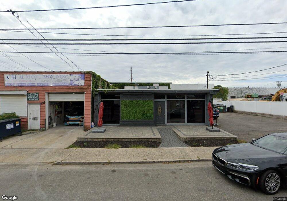
543 W Hoffman Ave Lindenhurst, NY 11757
Estimated Value: $588,722
--
Bed
--
Bath
1,632
Sq Ft
$361/Sq Ft
Est. Value
About This Home
This home is located at 543 W Hoffman Ave, Lindenhurst, NY 11757 and is currently estimated at $588,722, approximately $360 per square foot. 543 W Hoffman Ave is a home located in Suffolk County with nearby schools including West Gates Elementary School, Lindenhurst Middle School, and Lindenhurst Senior High School.
Ownership History
Date
Name
Owned For
Owner Type
Purchase Details
Closed on
Mar 6, 2025
Sold by
Suriano Realty Llc
Bought by
Four Amlis Elite Llc
Current Estimated Value
Purchase Details
Closed on
Nov 8, 2005
Sold by
Schrader Divid F
Bought by
Suriano Realty Llc
Purchase Details
Closed on
Feb 7, 2002
Sold by
Schrader Gladys E
Bought by
Schrader William E and Schrader David F
Create a Home Valuation Report for This Property
The Home Valuation Report is an in-depth analysis detailing your home's value as well as a comparison with similar homes in the area
Home Values in the Area
Average Home Value in this Area
Purchase History
| Date | Buyer | Sale Price | Title Company |
|---|---|---|---|
| Four Amlis Elite Llc | $560,000 | Chicago Title | |
| Four Amlis Elite Llc | $560,000 | Chicago Title | |
| Suriano Realty Llc | $345,000 | James Mcgahan | |
| Suriano Realty Llc | $345,000 | James Mcgahan | |
| Schrader William E | -- | Commonwealth Land Title Ins | |
| Schrader William E | -- | Commonwealth Land Title Ins |
Source: Public Records
Tax History Compared to Growth
Tax History
| Year | Tax Paid | Tax Assessment Tax Assessment Total Assessment is a certain percentage of the fair market value that is determined by local assessors to be the total taxable value of land and additions on the property. | Land | Improvement |
|---|---|---|---|---|
| 2024 | $23,202 | $5,595 | $715 | $4,880 |
| 2023 | $21,714 | $5,595 | $715 | $4,880 |
| 2022 | $16,738 | $5,595 | $715 | $4,880 |
| 2021 | $16,738 | $5,595 | $715 | $4,880 |
| 2020 | $17,308 | $5,595 | $715 | $4,880 |
| 2019 | $18,592 | $0 | $0 | $0 |
| 2018 | $16,882 | $5,595 | $715 | $4,880 |
| 2017 | $16,882 | $5,595 | $715 | $4,880 |
| 2016 | $16,682 | $5,595 | $715 | $4,880 |
| 2015 | -- | $5,595 | $715 | $4,880 |
| 2014 | -- | $5,595 | $715 | $4,880 |
Source: Public Records
Map
Nearby Homes
- 145 S 15th St
- 205 S 12th St
- 203 29th St
- 215 Cortland St
- 274 S 10th St
- 366 W Gates Ave
- 196 W Gates Ave
- 540 Scudder Ave
- 132 S 7th St
- 147 S 6th St
- 197 S 4th St
- 21 Cambridge Dr W Unit 21
- 118 Clubhouse Dr
- 92 Cambridge Dr Unit 92
- 159 35th St
- 90 27th St
- 31 Cambridge Dr W
- 2 Gail-Grace Ct
- 404 Kensington Ct
- 307 Ferndale Ct