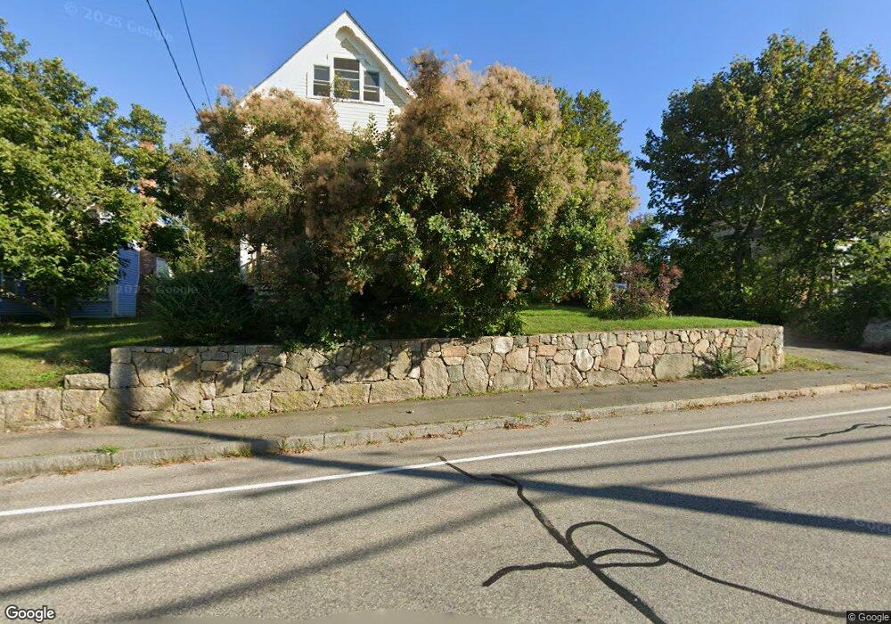
543 Washington St Gloucester, MA 01930
Estimated Value: $628,000 - $740,000
3
Beds
1
Bath
1,519
Sq Ft
$442/Sq Ft
Est. Value
About This Home
This home is located at 543 Washington St, Gloucester, MA 01930 and is currently estimated at $671,856, approximately $442 per square foot. 543 Washington St is a home located in Essex County with nearby schools including Beeman Memorial, Ralph B O'maley Middle School, and Gloucester High School.
Ownership History
Date
Name
Owned For
Owner Type
Purchase Details
Closed on
Dec 20, 2024
Sold by
Leavitt Jennifer E
Bought by
Perry Issac
Current Estimated Value
Home Financials for this Owner
Home Financials are based on the most recent Mortgage that was taken out on this home.
Original Mortgage
$504,000
Outstanding Balance
$500,036
Interest Rate
6.79%
Mortgage Type
Purchase Money Mortgage
Estimated Equity
$171,820
Purchase Details
Closed on
Sep 19, 2007
Sold by
Earle Carol A
Bought by
Leavitt Jennifer E
Home Financials for this Owner
Home Financials are based on the most recent Mortgage that was taken out on this home.
Original Mortgage
$261,000
Interest Rate
6.63%
Mortgage Type
Purchase Money Mortgage
Create a Home Valuation Report for This Property
The Home Valuation Report is an in-depth analysis detailing your home's value as well as a comparison with similar homes in the area
Home Values in the Area
Average Home Value in this Area
Purchase History
| Date | Buyer | Sale Price | Title Company |
|---|---|---|---|
| Perry Issac | $630,000 | None Available | |
| Perry Issac | $630,000 | None Available | |
| Leavitt Jennifer E | $290,000 | -- | |
| Earle Carol Ann | -- | -- | |
| Earle Carol Ann | -- | -- |
Source: Public Records
Mortgage History
| Date | Status | Borrower | Loan Amount |
|---|---|---|---|
| Open | Perry Issac | $504,000 | |
| Closed | Perry Issac | $504,000 | |
| Previous Owner | Earle Carol Ann | $261,000 | |
| Previous Owner | Earle Carol Ann | $0 | |
| Previous Owner | Earle Carol Ann | $30,000 |
Source: Public Records
Tax History Compared to Growth
Tax History
| Year | Tax Paid | Tax Assessment Tax Assessment Total Assessment is a certain percentage of the fair market value that is determined by local assessors to be the total taxable value of land and additions on the property. | Land | Improvement |
|---|---|---|---|---|
| 2025 | $5,967 | $613,300 | $188,800 | $424,500 |
| 2024 | $5,967 | $613,300 | $188,800 | $424,500 |
| 2023 | $5,721 | $540,200 | $168,600 | $371,600 |
| 2022 | $5,547 | $472,900 | $146,700 | $326,200 |
| 2021 | $5,359 | $430,800 | $133,300 | $297,500 |
| 2020 | $5,274 | $427,700 | $133,300 | $294,400 |
| 2019 | $5,020 | $395,600 | $133,300 | $262,300 |
| 2018 | $4,820 | $372,800 | $133,300 | $239,500 |
| 2017 | $4,673 | $354,300 | $126,900 | $227,400 |
| 2016 | $4,406 | $323,700 | $132,400 | $191,300 |
| 2015 | $4,222 | $309,300 | $132,400 | $176,900 |
Source: Public Records
Map
Nearby Homes
- 16 Reynard St
- 49 Thurston Point Rd
- 672 Washington St
- 79 Dennison St
- 18 Cherry St
- 6 River Rd
- 28 Riverview Rd Unit B
- 273 Washington St Unit 2
- 178 Atlantic St
- 13 & 10 Ferry Hill Rd
- 226 Atlantic St
- 188 Atlantic St
- 6 Beauport Ave
- 7 Cove Way
- 4 Lane Rd
- 8 Arthur St
- 40 Sargent St
- 13 1/2 Cleveland St
- 185 Washington St
- 34 Cleveland St
- 545 Washington St
- 545 Washington St Unit 1
- 541 Washington St
- 8 Stanwood St
- 8 Stanwood St
- 8 Stanwood St Unit B
- 8 Stanwood St Unit A
- 537 Washington St
- 546 Washington St
- 10R Stanwood St
- 10 Stanwood St
- 549 Washington St
- 542 Washington St
- 535 Washington St
- 12 Stanwood St
- 540 Washington St
- 540 Washington St
- 540 Washington St Unit 2
- 550 Washington St
- 5 Stanwood St