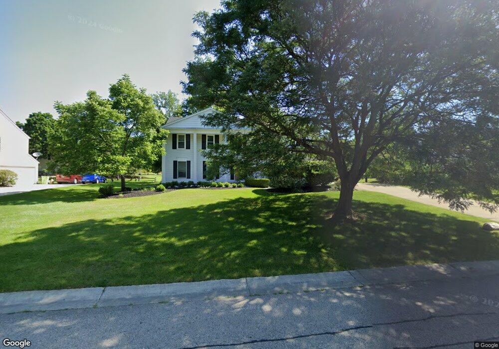
5430 Fox Ridge Dr West Bloomfield, MI 48322
Estimated Value: $406,764 - $521,000
4
Beds
3
Baths
2,430
Sq Ft
$188/Sq Ft
Est. Value
About This Home
This home is located at 5430 Fox Ridge Dr, West Bloomfield, MI 48322 and is currently estimated at $457,191, approximately $188 per square foot. 5430 Fox Ridge Dr is a home located in Oakland County with nearby schools including Sheiko Elementary School, West Bloomfield Middle School, and Bloomfield Maples Montessori.
Ownership History
Date
Name
Owned For
Owner Type
Purchase Details
Closed on
Feb 28, 2000
Sold by
Levine Bernard
Bought by
Saperstein Marc D
Current Estimated Value
Home Financials for this Owner
Home Financials are based on the most recent Mortgage that was taken out on this home.
Original Mortgage
$229,500
Interest Rate
8.18%
Purchase Details
Closed on
Jan 10, 2000
Sold by
Levine Bernard
Bought by
Levine Bernard
Home Financials for this Owner
Home Financials are based on the most recent Mortgage that was taken out on this home.
Original Mortgage
$229,500
Interest Rate
8.18%
Create a Home Valuation Report for This Property
The Home Valuation Report is an in-depth analysis detailing your home's value as well as a comparison with similar homes in the area
Home Values in the Area
Average Home Value in this Area
Purchase History
| Date | Buyer | Sale Price | Title Company |
|---|---|---|---|
| Saperstein Marc D | $255,000 | -- | |
| Levine Bernard | -- | -- |
Source: Public Records
Mortgage History
| Date | Status | Borrower | Loan Amount |
|---|---|---|---|
| Previous Owner | Saperstein Marc D | $229,500 | |
| Previous Owner | Levine Bernard | $205,000 |
Source: Public Records
Tax History Compared to Growth
Tax History
| Year | Tax Paid | Tax Assessment Tax Assessment Total Assessment is a certain percentage of the fair market value that is determined by local assessors to be the total taxable value of land and additions on the property. | Land | Improvement |
|---|---|---|---|---|
| 2024 | $2,528 | $173,030 | $0 | $0 |
| 2022 | $2,420 | $151,920 | $45,000 | $106,920 |
| 2021 | $3,678 | $140,620 | $0 | $0 |
| 2020 | $2,372 | $137,880 | $40,550 | $97,330 |
| 2018 | $4,483 | $123,260 | $28,700 | $94,560 |
| 2015 | -- | $102,050 | $0 | $0 |
| 2014 | -- | $92,690 | $0 | $0 |
| 2011 | -- | $81,510 | $0 | $0 |
Source: Public Records
Map
Nearby Homes
- 6265 Potomac Cir
- 5353 Wright Way W
- 5720 Beauchamp
- 5015 Langlewood Dr
- 5428 Hammersmith Dr
- 5727 Royal Wood
- 5106 Rock Run
- 5216 Brett Ct Unit 53
- 6323 Potomac Cir Unit 22
- 5023 Meadowbrook Dr
- 5426 N Piccadilly
- 5016 Patrick Rd
- 5959 Bella Vista Dr
- 6067 Charles Dr
- 5965 Crestwood Dr
- 6684 Stonebridge E
- 6121 Westbrooke Dr Unit 7
- 6607 Westbrooke Ct
- 5835 Drake Rd
- 6196 Celeste Rd
- 5446 Fox Ridge Dr
- 5410 Fox Ridge Dr
- 5371 Kingsfield Dr
- 5359 Kingsfield Dr
- 5435 Fox Ridge Dr
- 5385 Kingsfield Dr
- 5458 Fox Ridge Dr
- 5395 Fox Ridge Cir
- 5370 Fox Ridge Dr
- 5420 Langlewood Dr
- 5335 Kingsfield Dr
- 5470 Fox Ridge Dr
- 5441 Langlewood Dr
- 5370 Kingsfield Dr
- 5389 Fox Ridge Cir
- 5397 Kingsfield Dr
- 5412 Kingsfield Dr
- 5354 Fox Ridge Dr
- 5360 Kingsfield Dr
- 5406 Langlewood Dr