5430 Laurel Oak Dr Unit 1 Suwanee, GA 30024
Estimated Value: $1,582,000 - $1,917,000
7
Beds
5
Baths
5,291
Sq Ft
$327/Sq Ft
Est. Value
About This Home
This home is located at 5430 Laurel Oak Dr Unit 1, Suwanee, GA 30024 and is currently estimated at $1,731,448, approximately $327 per square foot. 5430 Laurel Oak Dr Unit 1 is a home located in Forsyth County with nearby schools including Sharon Elementary School, South Forsyth Middle School, and Lambert High School.
Ownership History
Date
Name
Owned For
Owner Type
Purchase Details
Closed on
Aug 21, 2025
Sold by
White John Mcleod and White Caroline W
Bought by
John Mcleod White Jr Revocable Trust and Caroline Whitehurst White Revocable Trust
Current Estimated Value
Purchase Details
Closed on
May 10, 2019
Sold by
Duffey Russell G
Bought by
White John Mcleod and White Caroline W
Home Financials for this Owner
Home Financials are based on the most recent Mortgage that was taken out on this home.
Original Mortgage
$969,750
Interest Rate
4.1%
Mortgage Type
New Conventional
Purchase Details
Closed on
Oct 24, 2002
Sold by
David Whitehurstt Homes Inc
Bought by
Duffey Russell G and Duffey Vicki B
Home Financials for this Owner
Home Financials are based on the most recent Mortgage that was taken out on this home.
Original Mortgage
$300,000
Interest Rate
6.01%
Mortgage Type
New Conventional
Create a Home Valuation Report for This Property
The Home Valuation Report is an in-depth analysis detailing your home's value as well as a comparison with similar homes in the area
Home Values in the Area
Average Home Value in this Area
Purchase History
| Date | Buyer | Sale Price | Title Company |
|---|---|---|---|
| John Mcleod White Jr Revocable Trust | -- | None Listed On Document | |
| John Mcleod White Jr Revocable Trust | -- | None Listed On Document | |
| White John Mcleod | $1,077,500 | -- | |
| Duffey Russell G | $872,000 | -- |
Source: Public Records
Mortgage History
| Date | Status | Borrower | Loan Amount |
|---|---|---|---|
| Previous Owner | White John Mcleod | $969,750 | |
| Previous Owner | Duffey Russell G | $300,000 |
Source: Public Records
Tax History Compared to Growth
Tax History
| Year | Tax Paid | Tax Assessment Tax Assessment Total Assessment is a certain percentage of the fair market value that is determined by local assessors to be the total taxable value of land and additions on the property. | Land | Improvement |
|---|---|---|---|---|
| 2025 | $16,028 | $729,272 | $132,000 | $597,272 |
| 2024 | $16,028 | $653,636 | $110,000 | $543,636 |
| 2023 | $14,773 | $600,172 | $101,200 | $498,972 |
| 2022 | $13,146 | $432,724 | $77,000 | $355,724 |
| 2021 | $11,949 | $432,724 | $77,000 | $355,724 |
| 2020 | $11,417 | $413,432 | $77,000 | $336,432 |
| 2019 | $9,540 | $354,260 | $77,000 | $277,260 |
| 2018 | $9,665 | $359,656 | $70,400 | $289,256 |
| 2017 | $9,236 | $337,656 | $70,400 | $267,256 |
| 2016 | $9,236 | $337,656 | $70,400 | $267,256 |
| 2015 | $9,017 | $327,456 | $70,400 | $257,056 |
| 2014 | $7,994 | $305,256 | $0 | $0 |
Source: Public Records
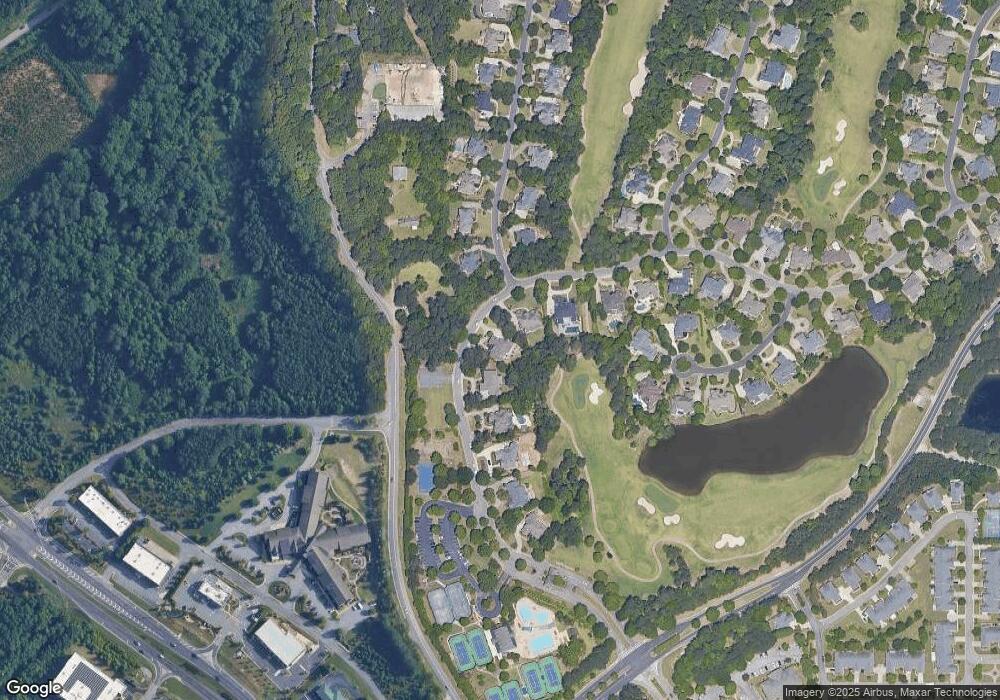
Map
Nearby Homes
- 5625 Buckleigh Pointe
- 5235 Villa Lake Ct
- 335 Pintail Ct
- 3415 Fox Hollow Way
- 6005 Oakbury Ln
- 5995 Ettington Dr
- 6010 Somerset Ct
- 3440 Commander Cove
- 3470 Commander Cove
- 3485 Vermillion View
- 3430 Commander Cove
- 3510 Vermillion View
- 3150 Thistle Trail
- 5060 Brent Knoll Ln Unit 1
- 3820 Ridge Point Dr
- 3845 Bridle Creek Dr
- 6505 Caldwell Ct
- 2940 Bentbill Crossing
- 4790 Ashwell Ln
- 3910 Dalwood Dr
- 5510 Laurel Oak Dr
- 5410 Laurel Oak Dr
- 5425 Laurel Oak Dr
- 5415 Laurel Oak Dr
- 5520 Laurel Oak Dr Unit 1
- 5380 Laurel Oak Dr
- 5505 Stoneleigh Dr Unit 401
- 5505 Stoneleigh Dr
- 5405 Laurel Oak Dr
- 5510 Stoneleigh Dr
- 5370 Laurel Oak Dr
- 5530 Laurel Oak Dr
- 5515 Stoneleigh Dr
- 5520 Stoneleigh Dr
- 5770 Winsley Cir
- 5360 Laurel Oak Dr
- 971 Mathis Airport Rd
- 5540 Laurel Oak Dr Unit 1
- 5765 Winsley Cir Unit 1
- 5615 Buckleigh Pointe