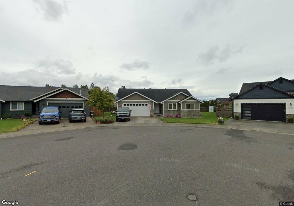
5432 Cirrus Ct Ferndale, WA 98248
Estimated Value: $538,000 - $663,000
3
Beds
2
Baths
1,537
Sq Ft
$380/Sq Ft
Est. Value
About This Home
This home is located at 5432 Cirrus Ct, Ferndale, WA 98248 and is currently estimated at $584,343, approximately $380 per square foot. 5432 Cirrus Ct is a home located in Whatcom County with nearby schools including Eagleridge Elementary School, Horizon Middle School, and Ferndale High School.
Ownership History
Date
Name
Owned For
Owner Type
Purchase Details
Closed on
Jun 15, 2012
Sold by
Davidson Brian and Davidson Jeannie
Bought by
Holloway Sara and Holloway Clennon
Current Estimated Value
Home Financials for this Owner
Home Financials are based on the most recent Mortgage that was taken out on this home.
Original Mortgage
$246,938
Outstanding Balance
$170,815
Interest Rate
3.79%
Mortgage Type
New Conventional
Estimated Equity
$413,528
Purchase Details
Closed on
Mar 14, 2011
Sold by
Glacier Lands Corporation
Bought by
Davidson Brian
Create a Home Valuation Report for This Property
The Home Valuation Report is an in-depth analysis detailing your home's value as well as a comparison with similar homes in the area
Home Values in the Area
Average Home Value in this Area
Purchase History
| Date | Buyer | Sale Price | Title Company |
|---|---|---|---|
| Holloway Sara | $242,280 | Whatcom Land Title | |
| Davidson Brian | $60,180 | First American Title Ins |
Source: Public Records
Mortgage History
| Date | Status | Borrower | Loan Amount |
|---|---|---|---|
| Open | Holloway Sara | $246,938 |
Source: Public Records
Tax History Compared to Growth
Tax History
| Year | Tax Paid | Tax Assessment Tax Assessment Total Assessment is a certain percentage of the fair market value that is determined by local assessors to be the total taxable value of land and additions on the property. | Land | Improvement |
|---|---|---|---|---|
| 2024 | $3,594 | $523,116 | $194,000 | $329,116 |
| 2023 | $3,594 | $516,458 | $200,000 | $316,458 |
| 2022 | $3,447 | $465,959 | $159,171 | $306,788 |
| 2021 | $3,473 | $385,089 | $131,546 | $253,543 |
| 2020 | $3,362 | $356,573 | $121,805 | $234,768 |
| 2019 | $2,586 | $310,565 | $106,089 | $204,476 |
| 2018 | $3,016 | $283,940 | $96,994 | $186,946 |
| 2017 | $2,644 | $248,830 | $85,000 | $163,830 |
| 2016 | $2,481 | $235,982 | $77,168 | $158,814 |
| 2015 | $2,487 | $222,102 | $73,059 | $149,043 |
| 2014 | -- | $217,524 | $71,400 | $146,124 |
| 2013 | -- | $214,534 | $70,000 | $144,534 |
Source: Public Records
Map
Nearby Homes
- 5585 Farmstead Place Unit 4
- 5585 Farmstead Place
- 5590 Farmstead Place
- 5587 Farmstead Place
- 5587 Farmstead Place Unit 5
- 2408 Barn Door Ct
- 5593 Farmstead Place Unit 6
- 2406 Barn Door Ct
- 5591 Farmstead Place
- Elbert Plan at Douglas Farm
- Lowell Plan at Douglas Farm
- Bedford Plan at Douglas Farm
- Hemingway Plan at Douglas Farm
- 5590 Farmstead Place Unit 32
- 2406 Barn Door Ct Unit 35
- 2408 Barn Door Ct Unit 34
- 5295 S Church Rd
- 2788 Douglas Rd
- 5682 Sunstone Place Unit 103
- 2333 Main St
- 5436 Cirrus Ct
- 5429 Cirrus Ct
- 5431 Blue Sky Way
- 5429 Blue Sky Way
- 5433 Blue Sky Way
- 5426 Nimbus Place
- 5440 Cirrus Ct
- 5430 Nimbus Place
- 5437 Blue Sky Way
- 5433 Cirrus Ct
- 5437 Cirrus Ct
- 5422 Nimbus Place
- 5441 Cirrus Ct
- 5441 Blue Sky Way
- 2479 Cirrus Ln
- 5425 Nimbus Place
- 2471 Cirrus Ln
- 2465 Cirrus Ln
- 5434 Blue Sky Way
- 7 Bluesky Way