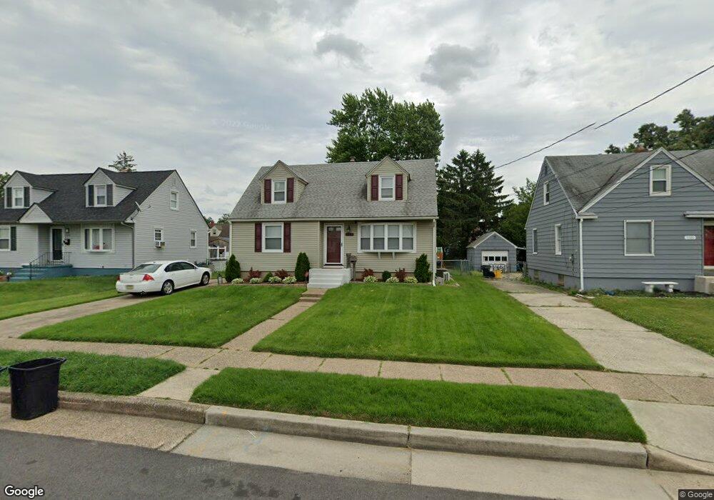
5432 Toms Ave Pennsauken, NJ 08109
Estimated Value: $236,002 - $322,000
--
Bed
--
Bath
1,395
Sq Ft
$196/Sq Ft
Est. Value
About This Home
This home is located at 5432 Toms Ave, Pennsauken, NJ 08109 and is currently estimated at $273,251, approximately $195 per square foot. 5432 Toms Ave is a home located in Camden County with nearby schools including Pennsauken High School, St. Peter Elementary School, and Camden Forward School.
Ownership History
Date
Name
Owned For
Owner Type
Purchase Details
Closed on
Dec 28, 2018
Sold by
Lukasiak Glenn E and The Estate Of Doris E Lukasiak
Bought by
Lukasiak Kaitlyn
Current Estimated Value
Home Financials for this Owner
Home Financials are based on the most recent Mortgage that was taken out on this home.
Original Mortgage
$94,950
Outstanding Balance
$83,816
Interest Rate
4.8%
Mortgage Type
New Conventional
Estimated Equity
$189,435
Purchase Details
Closed on
Apr 6, 1951
Bought by
Lukasiak Doris E
Create a Home Valuation Report for This Property
The Home Valuation Report is an in-depth analysis detailing your home's value as well as a comparison with similar homes in the area
Home Values in the Area
Average Home Value in this Area
Purchase History
| Date | Buyer | Sale Price | Title Company |
|---|---|---|---|
| Lukasiak Kaitlyn | $100,000 | Dba National Title Agency | |
| Lukasiak Doris E | -- | -- |
Source: Public Records
Mortgage History
| Date | Status | Borrower | Loan Amount |
|---|---|---|---|
| Open | Lukasiak Kaitlyn | $94,950 |
Source: Public Records
Tax History Compared to Growth
Tax History
| Year | Tax Paid | Tax Assessment Tax Assessment Total Assessment is a certain percentage of the fair market value that is determined by local assessors to be the total taxable value of land and additions on the property. | Land | Improvement |
|---|---|---|---|---|
| 2025 | $6,158 | $286,100 | $62,700 | $223,400 |
| 2024 | $6,039 | $141,500 | $43,800 | $97,700 |
| 2023 | $6,039 | $141,500 | $43,800 | $97,700 |
| 2022 | $5,460 | $141,500 | $43,800 | $97,700 |
| 2021 | $5,608 | $141,500 | $43,800 | $97,700 |
| 2020 | $5,023 | $141,500 | $43,800 | $97,700 |
| 2019 | $5,081 | $141,500 | $43,800 | $97,700 |
| 2018 | $5,108 | $141,500 | $43,800 | $97,700 |
| 2017 | $5,118 | $141,500 | $43,800 | $97,700 |
| 2016 | $5,026 | $141,500 | $43,800 | $97,700 |
| 2015 | $4,926 | $141,500 | $43,800 | $97,700 |
| 2014 | $4,745 | $89,800 | $22,700 | $67,100 |
Source: Public Records
Map
Nearby Homes
- 5519 Edwards Ave
- 5131 Garfield Ave
- 4908 Laurel Ave
- 4782 Lafayette Ave
- 4817 Caroline Ave
- 4749 Poplar Ave
- 5409 Mansion Blvd
- 209 W End Ave
- 5506 Wisteria Ave
- 6402 Browning Rd
- 5445 Homestead Ave
- 4616 Woodland Ave
- 107 Poplar Ave
- 4116 Burwood Ave
- 4609 Woodland Ave
- 5915 Lexington Ave
- 220 Volans St
- 3732 Frosthoffer Ave
- 6010 Lexington Ave
- 320 W Maple Ave