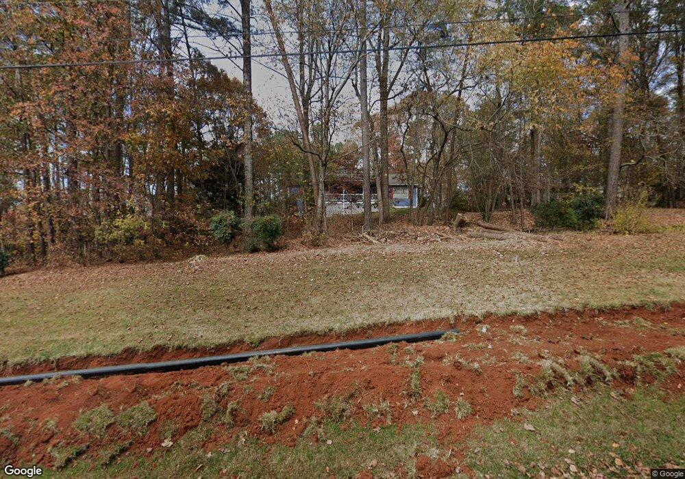
5432 Union Cir Flowery Branch, GA 30542
Estimated Value: $360,000 - $391,000
3
Beds
2
Baths
1,512
Sq Ft
$246/Sq Ft
Est. Value
About This Home
This home is located at 5432 Union Cir, Flowery Branch, GA 30542 and is currently estimated at $371,431, approximately $245 per square foot. 5432 Union Cir is a home located in Hall County with nearby schools including Spout Springs Elementary School, Cherokee Bluff Middle School, and Cherokee Bluff High School.
Ownership History
Date
Name
Owned For
Owner Type
Purchase Details
Closed on
Dec 21, 1993
Sold by
Clark Jeanie Anita
Bought by
Mcdonald Scott O Neal Mary
Current Estimated Value
Home Financials for this Owner
Home Financials are based on the most recent Mortgage that was taken out on this home.
Original Mortgage
$13,420
Interest Rate
7.1%
Purchase Details
Closed on
Aug 1, 1993
Create a Home Valuation Report for This Property
The Home Valuation Report is an in-depth analysis detailing your home's value as well as a comparison with similar homes in the area
Home Values in the Area
Average Home Value in this Area
Purchase History
| Date | Buyer | Sale Price | Title Company |
|---|---|---|---|
| Mcdonald Scott O Neal Mary | $16,700 | -- | |
| -- | $18,000 | -- |
Source: Public Records
Mortgage History
| Date | Status | Borrower | Loan Amount |
|---|---|---|---|
| Previous Owner | Mcdonald Scott O Neal Mary | $13,420 |
Source: Public Records
Tax History Compared to Growth
Tax History
| Year | Tax Paid | Tax Assessment Tax Assessment Total Assessment is a certain percentage of the fair market value that is determined by local assessors to be the total taxable value of land and additions on the property. | Land | Improvement |
|---|---|---|---|---|
| 2024 | $3,368 | $135,400 | $45,400 | $90,000 |
| 2023 | $2,746 | $126,040 | $29,440 | $96,600 |
| 2022 | $2,142 | $82,280 | $14,040 | $68,240 |
| 2021 | $2,080 | $78,440 | $14,040 | $64,400 |
| 2020 | $1,986 | $72,800 | $11,200 | $61,600 |
| 2019 | $1,890 | $68,640 | $11,200 | $57,440 |
| 2018 | $1,748 | $61,440 | $11,200 | $50,240 |
| 2017 | $1,582 | $56,120 | $11,200 | $44,920 |
| 2016 | $1,406 | $51,003 | $9,520 | $41,483 |
| 2015 | $1,417 | $51,003 | $9,520 | $41,483 |
| 2014 | $1,417 | $51,003 | $9,520 | $41,483 |
Source: Public Records
Map
Nearby Homes
- 5311 Redfield Way
- 5421 Hunnington Mill Dr
- 5305 Mulberry Bend Ct
- 5309 Rushing Creek Way
- 5268 Bowman Springs Trail
- 5501 Tory Way
- 5526 Chestnut Creek Ln
- 6704 Cambridge Dr
- 7317 Yewtree Dr
- Avery Plan at Cambridge
- Raleigh Plan at Cambridge
- Davidson Plan at Cambridge
- Colfax Plan at Cambridge
- Cypress Plan at Cambridge
- 7252 Millbrae Walk
- 7248 Millbrae Walk
- 7252 Millbrae Walk Unit 97
- 7239 Millbrae Walk
- 7236 Millbrae Walk
- 7272 Millbrae Walk
- 5428 Union Cir
- 5436 Union Cir
- 5422 Union Cir
- 5321 Redfield Way
- 5341 Redfield Way
- 5331 Redfield Way
- 5301 Redfield Way
- 5351 Redfield Way
- 5448 Union Cir
- 5300 Redfield Way
- 5361 Redfield Way
- 5320 Redfield Way
- 5371 Redfield Way
- 5330 Redfield Way
- 5402 Hunnington Mill Dr
- 5409 Sugar Mill Dr
- 5406 Hunnington Mill Dr
- 0 Redfield Way Unit 7121112
- 5340 Redfield Way
- 5517 Pond Mill Ct
