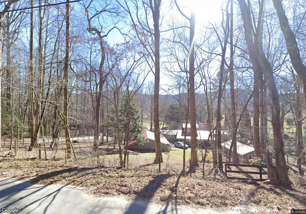
5432 Wolffork Rd Rabun Gap, GA 30568
Estimated Value: $370,000 - $478,000
4
Beds
3
Baths
2,078
Sq Ft
$207/Sq Ft
Est. Value
About This Home
This home is located at 5432 Wolffork Rd, Rabun Gap, GA 30568 and is currently estimated at $431,129, approximately $207 per square foot. 5432 Wolffork Rd is a home located in Rabun County with nearby schools including Rabun County Primary School, Rabun County High School, and Rabun Gap Nacoochee School.
Ownership History
Date
Name
Owned For
Owner Type
Purchase Details
Closed on
Mar 1, 2004
Bought by
Thiele James F
Current Estimated Value
Purchase Details
Closed on
Apr 1, 1997
Purchase Details
Closed on
Jul 1, 1995
Purchase Details
Closed on
Apr 1, 1994
Purchase Details
Closed on
Oct 1, 1987
Create a Home Valuation Report for This Property
The Home Valuation Report is an in-depth analysis detailing your home's value as well as a comparison with similar homes in the area
Home Values in the Area
Average Home Value in this Area
Purchase History
| Date | Buyer | Sale Price | Title Company |
|---|---|---|---|
| Thiele James F | $223,000 | -- | |
| Thiele James F | $223,000 | -- | |
| -- | $11,800 | -- | |
| -- | $11,800 | -- | |
| -- | $70,000 | -- | |
| -- | $70,000 | -- | |
| -- | $62,500 | -- | |
| -- | $62,500 | -- | |
| -- | $10,000 | -- | |
| -- | $10,000 | -- |
Source: Public Records
Tax History Compared to Growth
Tax History
| Year | Tax Paid | Tax Assessment Tax Assessment Total Assessment is a certain percentage of the fair market value that is determined by local assessors to be the total taxable value of land and additions on the property. | Land | Improvement |
|---|---|---|---|---|
| 2025 | $1,993 | $129,670 | $9,890 | $119,780 |
| 2024 | $1,946 | $123,222 | $9,890 | $113,332 |
| 2023 | $1,946 | $108,309 | $9,308 | $99,001 |
| 2022 | $1,861 | $103,672 | $8,726 | $94,946 |
| 2021 | $1,678 | $91,485 | $8,145 | $83,340 |
| 2020 | $1,583 | $83,635 | $8,145 | $75,490 |
| 2019 | $1,595 | $83,635 | $8,145 | $75,490 |
| 2018 | $1,600 | $83,635 | $8,145 | $75,490 |
| 2017 | $1,535 | $83,635 | $8,145 | $75,490 |
| 2016 | $1,634 | $88,666 | $8,145 | $80,521 |
| 2015 | $1,667 | $88,799 | $8,145 | $80,654 |
| 2014 | $1,672 | $88,798 | $8,144 | $80,654 |
Source: Public Records
Map
Nearby Homes
- 784 Wolffork Church Rd
- 5192 Wolffork Rd
- 5019 Wolffork Rd
- 786 Hope Haven Ln
- 0 Allen Cove Rd Unit 10586573
- 1422 Wolffork Rd
- 243 Degroff Ln
- 230 Majors Ln
- 0 Sylvan Lake Dr Unit 47,48 10485897
- 153 Coleman Heights Ln
- 137 Olds Mountain Peak Rd
- 46 Clare Ln
- 0 Crest Ln Unit LOT 5 10572844
- 373 Western Way
- 0 Pitts Way Unit 10592369
- 52 Lucky Ln
- 189 Elm Ln
- 0 John Beck Dockins Rd Unit 10606531
- 0 Alto Ln Unit 10533235
- 0 Black Rock Estates Unit 25 10374676
- 962 Wolf Fork Church Rd
- 962 Wolffork Church Rd
- 34 Rabbit Run Ln
- 5399 Wolffork Rd
- 5361 Wolffork Rd
- 68 Rabbit Run Ln
- 68 Rabbit Run Ln
- 864 Wolffork Church Rd
- 921 Wolffork Church Rd Unit .76 ACRE
- 921 Wolffork Church Rd
- 5565 Wolffork Rd
- 5345 Wolffork Rd
- 835 Wolffork Church Rd
- 225 Smokehouse Knob Dr
- 222 Smokehouse Knob Dr
- 0 Smokehouse Knob Dr Unit 10152121
- 0 Smokehouse Knob Dr Unit 8042205
- 0 Smokehouse Knob Dr Unit 7577280
- 0 Smokehouse Knob Dr Unit 2567275
- 0 Smokehouse Knob Dr Unit 8589906