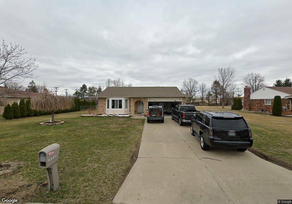
5433 Branch St Unit Bldg-Unit Sterling Heights, MI 48310
Estimated Value: $336,000 - $367,000
3
Beds
2
Baths
1,556
Sq Ft
$225/Sq Ft
Est. Value
About This Home
This home is located at 5433 Branch St Unit Bldg-Unit, Sterling Heights, MI 48310 and is currently estimated at $349,425, approximately $224 per square foot. 5433 Branch St Unit Bldg-Unit is a home located in Macomb County with nearby schools including Schuchard Elementary School, Frank Jeannette Junior High School, and Adlai Stevenson High School.
Ownership History
Date
Name
Owned For
Owner Type
Purchase Details
Closed on
Mar 16, 2020
Sold by
Ablahad Martin and Ablahad Michle
Bought by
Tooma Martin and Tooma Michael A
Current Estimated Value
Purchase Details
Closed on
Mar 21, 2018
Sold by
Nikollaj Nikoll
Bought by
Ablahad Martin and Ablahad Michle
Home Financials for this Owner
Home Financials are based on the most recent Mortgage that was taken out on this home.
Original Mortgage
$207,000
Interest Rate
4.38%
Mortgage Type
New Conventional
Purchase Details
Closed on
Jun 13, 2012
Sold by
Nikollaj Nikoll
Bought by
Nikollaj Nikoll and Nikollaj Lize
Purchase Details
Closed on
Nov 30, 2004
Sold by
Nikolaj Fran and Nikollaj Nikoll
Bought by
Nikollaj Nikoll
Create a Home Valuation Report for This Property
The Home Valuation Report is an in-depth analysis detailing your home's value as well as a comparison with similar homes in the area
Home Values in the Area
Average Home Value in this Area
Purchase History
| Date | Buyer | Sale Price | Title Company |
|---|---|---|---|
| Tooma Martin | -- | Fnt | |
| Ablahad Martin | $230,000 | None Available | |
| Nikollaj Nikoll | -- | None Available | |
| Nikollaj Nikoll | -- | -- |
Source: Public Records
Mortgage History
| Date | Status | Borrower | Loan Amount |
|---|---|---|---|
| Previous Owner | Ablahad Martin | $207,000 |
Source: Public Records
Tax History Compared to Growth
Tax History
| Year | Tax Paid | Tax Assessment Tax Assessment Total Assessment is a certain percentage of the fair market value that is determined by local assessors to be the total taxable value of land and additions on the property. | Land | Improvement |
|---|---|---|---|---|
| 2025 | $4,424 | $147,300 | $0 | $0 |
| 2024 | $4,046 | $140,700 | $0 | $0 |
| 2023 | $3,819 | $127,700 | $0 | $0 |
| 2022 | $3,982 | $112,200 | $0 | $0 |
| 2021 | $3,899 | $108,300 | $0 | $0 |
| 2020 | $3,478 | $99,700 | $0 | $0 |
| 2019 | $3,580 | $98,300 | $0 | $0 |
| 2018 | $2,669 | $88,000 | $0 | $0 |
| 2017 | $2,548 | $82,100 | $18,000 | $64,100 |
| 2016 | $2,462 | $82,100 | $0 | $0 |
| 2015 | -- | $79,300 | $0 | $0 |
| 2014 | -- | $66,600 | $0 | $0 |
Source: Public Records
Map
Nearby Homes
- 40058 Fraser Dr
- 5573 Branch St
- 5118 Fredrick Dr
- 39329 Hyland Dr
- 4726 Harrow Ct
- 4768 Dreon Ct
- 38968 Harrison Dr
- 5477 Victory Cir Unit 70
- 5055 Scarsdale Dr
- 4539 Carlton Rd
- 40166 Kristen Dr
- 5294 Argyle Ct
- 40034 Kristen Dr
- 40663 Drury Rd
- 40665 Drury Rd
- 38638 Harrison Dr
- 40116 Steel Dr
- 40444 Harmon Dr
- 4732 Ardmore Dr
- 3849 Barg Dr
- 5433 Branch St
- 5451 Branch St
- 5415 Branch St
- 5426 Branch St
- 40080 Fraser Dr
- 40092 Fraser Dr
- 5470 Branch St
- 5481 Branch St
- 5377 Windham Dr
- 5454 Branch St
- 5467 Branch St
- 5412 Branch St
- 40046 Fraser Dr
- 40034 Fraser Dr
- 5365 Windham Dr
- 5495 Branch St
- 5480 Branch St
- 5354 Windham Dr
- 5440 Branch St
- 40022 Fraser Dr