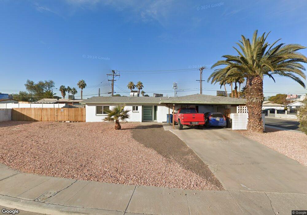
5433 Count Carlson Cir Las Vegas, NV 89119
University District NeighborhoodEstimated Value: $228,000 - $430,000
4
Beds
2
Baths
1,724
Sq Ft
$204/Sq Ft
Est. Value
About This Home
This home is located at 5433 Count Carlson Cir, Las Vegas, NV 89119 and is currently estimated at $351,151, approximately $203 per square foot. 5433 Count Carlson Cir is a home located in Clark County with nearby schools including Gene Ward Elementary School, Jack Dailey Elementary School, and Helen C. Cannon Junior High School.
Ownership History
Date
Name
Owned For
Owner Type
Purchase Details
Closed on
Aug 24, 2018
Sold by
Pearson Keith A and Pearson Vilace L
Bought by
Cox Katlyn K
Current Estimated Value
Home Financials for this Owner
Home Financials are based on the most recent Mortgage that was taken out on this home.
Original Mortgage
$100,000
Outstanding Balance
$86,846
Interest Rate
4.5%
Mortgage Type
Seller Take Back
Estimated Equity
$264,305
Create a Home Valuation Report for This Property
The Home Valuation Report is an in-depth analysis detailing your home's value as well as a comparison with similar homes in the area
Home Values in the Area
Average Home Value in this Area
Purchase History
| Date | Buyer | Sale Price | Title Company |
|---|---|---|---|
| Cox Katlyn K | $145,000 | First American Title |
Source: Public Records
Mortgage History
| Date | Status | Borrower | Loan Amount |
|---|---|---|---|
| Open | Cox Katlyn K | $100,000 |
Source: Public Records
Tax History Compared to Growth
Tax History
| Year | Tax Paid | Tax Assessment Tax Assessment Total Assessment is a certain percentage of the fair market value that is determined by local assessors to be the total taxable value of land and additions on the property. | Land | Improvement |
|---|---|---|---|---|
| 2025 | $1,029 | $60,589 | $34,265 | $26,324 |
| 2024 | $1,000 | $60,589 | $34,265 | $26,324 |
| 2023 | $816 | $59,546 | $35,805 | $23,741 |
| 2022 | $971 | $48,573 | $27,335 | $21,238 |
| 2021 | $943 | $47,122 | $27,335 | $19,787 |
| 2020 | $912 | $43,798 | $24,640 | $19,158 |
| 2019 | $886 | $37,777 | $19,250 | $18,527 |
| 2018 | $860 | $35,527 | $18,095 | $17,432 |
| 2017 | $1,038 | $35,400 | $18,095 | $17,305 |
| 2016 | $816 | $28,870 | $11,165 | $17,705 |
| 2015 | $814 | $26,996 | $8,855 | $18,141 |
| 2014 | $789 | $26,101 | $6,930 | $19,171 |
Source: Public Records
Map
Nearby Homes
- 5414 Swenson St Unit 5
- 5440 Swenson St Unit 18
- 5422 Swenson St
- 5384 Swenson St Unit 24
- 5378 Swenson St Unit 21
- 5346 Swenson St Unit 35
- 5326 Swenson St Unit 61
- 1077 Count Wutzke Ave
- 944 de Met Dr
- 5168 Wilbur St
- 5470 S Maryland Pkwy
- 5474 S Maryland Pkwy
- 5155 Gray Ln
- 5227 Garden Ln
- 5196 Golden Ln Unit L
- 5125 Gray Ln Unit B
- 5459 Escondido St
- 5116 Gray Ln Unit E
- 5116 Gray Ln Unit G
- 5116 Gray Ln Unit F
- 5450 Prince Scotty St
- 5445 Count Carlson Cir
- 872 King Richard Ave
- 5430 Count Carlson Cir
- 882 King Richard Ave
- 5458 Prince Scotty St
- 5458 Prince Scotty St Unit n/a
- 862 King Richard Ave
- 5440 Count Carlson Cir
- 892 King Richard Ave
- 5446 Count Carlson Cir
- 852 King Richard Ave
- 874 Lady Marlene Ave
- 902 King Richard Ave
- 884 Lady Marlene Ave
- 862 Lady Marlene Ave
- 873 Count Wutzke Ave
- 837 King Richard Ave
- 861 Count Wutzke Ave