Estimated Value: $307,532 - $358,000
3
Beds
2
Baths
1,674
Sq Ft
$201/Sq Ft
Est. Value
About This Home
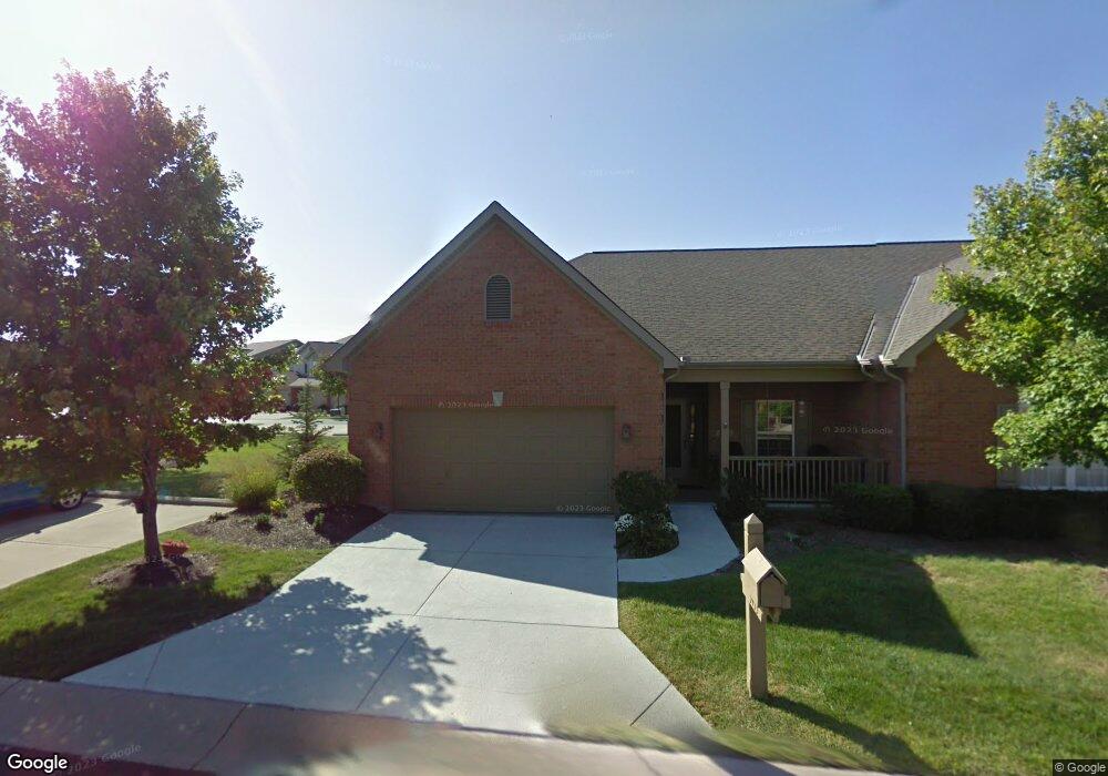
This home is located at 5433 Harbourside Dr, Mason, OH 45040 and is currently estimated at $335,883, approximately $200 per square foot. 5433 Harbourside Dr is a home located in Warren County with nearby schools including Mason Intermediate Elementary School, Mason Middle School, and William Mason High School.
Ownership History
Date
Name
Owned For
Owner Type
Purchase Details
Closed on
Nov 8, 2016
Sold by
Sommers Charisse
Bought by
Leung Mary A
Current Estimated Value
Home Financials for this Owner
Home Financials are based on the most recent Mortgage that was taken out on this home.
Original Mortgage
$148,000
Outstanding Balance
$117,406
Interest Rate
3.47%
Mortgage Type
New Conventional
Estimated Equity
$218,477
Purchase Details
Closed on
May 9, 2013
Sold by
Sullivan Richard J
Bought by
Sommers Sharon K and The Sharon K Sommers Trust
Purchase Details
Closed on
Sep 22, 2000
Sold by
Harbour Watch Llc
Bought by
Richard Sullivan
Create a Home Valuation Report for This Property
The Home Valuation Report is an in-depth analysis detailing your home's value as well as a comparison with similar homes in the area
Home Values in the Area
Average Home Value in this Area
Purchase History
| Date | Buyer | Sale Price | Title Company |
|---|---|---|---|
| Leung Mary A | $178,333 | Attorney | |
| Sommers Sharon K | $172,000 | None Available | |
| Richard Sullivan | $172,520 | -- |
Source: Public Records
Mortgage History
| Date | Status | Borrower | Loan Amount |
|---|---|---|---|
| Open | Leung Mary A | $148,000 |
Source: Public Records
Tax History
| Year | Tax Paid | Tax Assessment Tax Assessment Total Assessment is a certain percentage of the fair market value that is determined by local assessors to be the total taxable value of land and additions on the property. | Land | Improvement |
|---|---|---|---|---|
| 2025 | $3,864 | $90,840 | $21,000 | $69,840 |
| 2024 | $3,864 | $90,840 | $21,000 | $69,840 |
| 2023 | $3,584 | $70,682 | $8,610 | $62,072 |
| 2022 | $3,584 | $70,683 | $8,610 | $62,073 |
| 2021 | $3,408 | $70,683 | $8,610 | $62,073 |
| 2020 | $3,263 | $57,467 | $7,000 | $50,467 |
| 2019 | $3,023 | $57,467 | $7,000 | $50,467 |
| 2018 | $3,035 | $57,467 | $7,000 | $50,467 |
| 2017 | $2,924 | $51,086 | $6,332 | $44,755 |
| 2016 | $3,006 | $51,086 | $6,332 | $44,755 |
| 2015 | $3,014 | $51,086 | $6,332 | $44,755 |
| 2014 | $3,050 | $47,740 | $5,920 | $41,830 |
| 2013 | $2,496 | $56,470 | $7,000 | $49,470 |
Source: Public Records
Map
Nearby Homes
- 8036 Cast A Way
- 5369 N Shore Place
- 4796 White Blossom Blvd
- 5576 Winding Cape Way
- 5673 Melbury Ct
- 5641 Melbury Ct
- 9025 Boylston St
- 9018 Boylston St
- 9032 Nottingham Way
- 4390 S Mallard Cove
- 7064 Celebration Way
- 7076 Celebration Way
- 7080 Celebration Way
- 7103 Celebration Way
- 7068 Celebration Way
- 7054 Celebration Way
- 7173 Traditions Turn
- 7123 Traditions Turn
- 7133 Traditions Turn
- 9024 Beacon St
- 5433 Harbourside Dr
- 5439 Harbourside Dr
- 5439 Harbourside Dr
- 5443 Harbourside Dr
- 5443 Harbourside Dr
- 5443 Harbourside Dr Unit 103
- 5447 Harbourside Dr
- 5447 Harbourside Dr
- 5538 Harbourwatch Way
- 5538 Harbourwatch Way Unit 102
- 5538 Harbourwatch Way
- 5538 Harbourwatch Way Unit 202
- 5538 Harbourwatch Way Unit 201
- 5538 Harbourwatch Way Unit 101
- 5538 Harbourwatch Way Unit 202
- 5424 Harbourside Dr
- 5430 Harbourside Dr
- 5430 Harbourside Dr
- 5422 Harbourside Dr
- 5422 Harbourside Dr
Your Personal Tour Guide
Ask me questions while you tour the home.