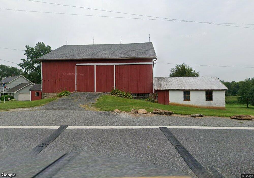
5434 Rocks Rd Pylesville, MD 21132
Estimated Value: $638,000 - $807,000
--
Bed
2
Baths
2,520
Sq Ft
$281/Sq Ft
Est. Value
About This Home
This home is located at 5434 Rocks Rd, Pylesville, MD 21132 and is currently estimated at $707,127, approximately $280 per square foot. 5434 Rocks Rd is a home located in Harford County with nearby schools including Norrisville Elementary School, North Harford Middle School, and North Harford High School.
Ownership History
Date
Name
Owned For
Owner Type
Purchase Details
Closed on
Mar 17, 2000
Sold by
Harrison William T
Bought by
Harrison William T and Harrison Judith M
Current Estimated Value
Purchase Details
Closed on
Mar 3, 2000
Sold by
Harrison William T
Bought by
Harrison William T and Harrison Judith M
Purchase Details
Closed on
Mar 15, 1988
Sold by
Harrison Marvin E and Harrison Wf
Bought by
Harrison William T
Home Financials for this Owner
Home Financials are based on the most recent Mortgage that was taken out on this home.
Original Mortgage
$135,000
Interest Rate
9.96%
Create a Home Valuation Report for This Property
The Home Valuation Report is an in-depth analysis detailing your home's value as well as a comparison with similar homes in the area
Home Values in the Area
Average Home Value in this Area
Purchase History
| Date | Buyer | Sale Price | Title Company |
|---|---|---|---|
| Harrison William T | $58,061 | -- | |
| Harrison William T | -- | -- | |
| Harrison William T | $100,000 | -- |
Source: Public Records
Mortgage History
| Date | Status | Borrower | Loan Amount |
|---|---|---|---|
| Previous Owner | Harrison William T | $135,000 |
Source: Public Records
Tax History Compared to Growth
Tax History
| Year | Tax Paid | Tax Assessment Tax Assessment Total Assessment is a certain percentage of the fair market value that is determined by local assessors to be the total taxable value of land and additions on the property. | Land | Improvement |
|---|---|---|---|---|
| 2025 | $1,661 | $349,667 | $0 | $0 |
| 2024 | $1,661 | $327,400 | $107,200 | $220,200 |
| 2023 | $1,580 | $318,367 | $0 | $0 |
| 2022 | $1,500 | $309,333 | $0 | $0 |
| 2021 | $1,550 | $300,300 | $107,200 | $193,100 |
| 2020 | $1,550 | $297,933 | $0 | $0 |
| 2019 | $1,528 | $295,567 | $0 | $0 |
| 2018 | $1,771 | $293,200 | $117,200 | $176,000 |
| 2017 | $1,771 | $293,200 | $0 | $0 |
| 2016 | -- | $293,200 | $0 | $0 |
| 2015 | $2,259 | $298,900 | $0 | $0 |
| 2014 | $2,259 | $298,900 | $0 | $0 |
Source: Public Records
Map
Nearby Homes
- 31 N Market St
- 1701 Scott Rd
- 2913 Whiteford Rd
- 54 Mitchell Rd
- 101 Saint Marys Rd
- 194 Cook Rd
- 387 Garvine Mill Rd
- 2131 Channel Rd
- 238 Mitchell Rd
- 267 Cook Rd
- 415 Saint Marys Rd
- 20 Carea Rd
- 257 Wiley Mill Rd
- 402 Pylesville Rd
- 4816 Amos Rd
- Lot C Bryansville Rd
- 216 Meadow Trail
- 46 Corn Tassel Rd
- Parcel 859 Neill Run Rd
- 4319 Federal Hill Rd
- 5427 Rocks Rd
- 5426 Rocks Rd
- 187 Rocks Rd
- 5408 Rocks Rd
- 5323 Fawn Grove Rd
- Lot #4 Mcdermott Rd
- 1301 Mcdermott Rd
- 1 Mcdermott Rd
- 20 Mcdermott Rd
- 3 Mcdermott Rd
- 15 Mcdermott Rd
- 21 Mcdermott Rd
- 5375 Rocks Rd
- 1500 Mcdermott Rd
- 1332 Mcdermott Rd
- 5373 Rocks Rd
- 90 Rocks Rd
- 5371 Rocks Rd
- 35 Mcdermott Rd
- 78 Park Dr