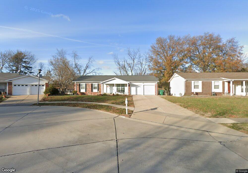
5435 Langsworth Dr Saint Louis, MO 63129
Estimated Value: $290,785 - $323,000
3
Beds
2
Baths
1,478
Sq Ft
$209/Sq Ft
Est. Value
About This Home
This home is located at 5435 Langsworth Dr, Saint Louis, MO 63129 and is currently estimated at $308,196, approximately $208 per square foot. 5435 Langsworth Dr is a home located in St. Louis County with nearby schools including Wohlwend Elementary School, Bernard Middle School, and Oakville Senior High School.
Ownership History
Date
Name
Owned For
Owner Type
Purchase Details
Closed on
Feb 16, 2023
Sold by
Kadic Emir
Bought by
5435 Langsworth Llc
Current Estimated Value
Purchase Details
Closed on
Nov 21, 2014
Sold by
Bank Of America Na
Bought by
Kadic Emir and Kadic Ismet
Purchase Details
Closed on
Oct 15, 2014
Sold by
Bryant Timothy C
Bought by
Bank Of America Na
Purchase Details
Closed on
May 27, 2010
Sold by
Short Louis A and Short Sharon P
Bought by
Bryant Timothy C
Home Financials for this Owner
Home Financials are based on the most recent Mortgage that was taken out on this home.
Original Mortgage
$163,794
Interest Rate
4.87%
Mortgage Type
FHA
Purchase Details
Closed on
Oct 19, 1998
Sold by
Short Louis A and Short Sharon P
Bought by
Short Keith L and Short Renee M
Create a Home Valuation Report for This Property
The Home Valuation Report is an in-depth analysis detailing your home's value as well as a comparison with similar homes in the area
Home Values in the Area
Average Home Value in this Area
Purchase History
| Date | Buyer | Sale Price | Title Company |
|---|---|---|---|
| 5435 Langsworth Llc | -- | -- | |
| Kadic Emir | $124,640 | Bay National Title Company | |
| Bank Of America Na | $100,000 | None Available | |
| Bryant Timothy C | $166,000 | U S Title | |
| Short Keith L | -- | -- |
Source: Public Records
Mortgage History
| Date | Status | Borrower | Loan Amount |
|---|---|---|---|
| Previous Owner | Bryant Timothy C | $163,794 |
Source: Public Records
Tax History Compared to Growth
Tax History
| Year | Tax Paid | Tax Assessment Tax Assessment Total Assessment is a certain percentage of the fair market value that is determined by local assessors to be the total taxable value of land and additions on the property. | Land | Improvement |
|---|---|---|---|---|
| 2025 | $2,888 | $48,220 | $19,680 | $28,540 |
| 2024 | $2,888 | $42,900 | $10,680 | $32,220 |
| 2023 | $2,852 | $42,900 | $10,680 | $32,220 |
| 2022 | $2,474 | $37,360 | $11,480 | $25,880 |
| 2021 | $2,394 | $37,360 | $11,480 | $25,880 |
| 2020 | $2,406 | $35,720 | $9,840 | $25,880 |
| 2019 | $2,399 | $35,720 | $9,840 | $25,880 |
| 2018 | $2,209 | $29,660 | $8,210 | $21,450 |
| 2017 | $2,205 | $29,660 | $8,210 | $21,450 |
| 2016 | $2,149 | $27,720 | $8,210 | $19,510 |
| 2015 | $1,974 | $27,720 | $8,210 | $19,510 |
| 2014 | $1,844 | $25,610 | $6,860 | $18,750 |
Source: Public Records
Map
Nearby Homes
- 5427 Alnwick Dr
- 2408 Whitshire Dr
- 236 Tapestry Dr
- 4555 Burncoate Dr
- 5501 Dober Ln
- 2526 Cathedral Dr
- 2177 Aileswick Dr
- 230 Cliff Cave Rd
- 2552 Coppergate Square Dr
- 2 Freeman Dr
- 4460 Telegraph Rd
- 5405 Edelweis Ln
- 2323 Hempline Ct
- 200 Rouen Dr
- 5709 Chatport Rd
- 2664 Victron Dr
- 4322 Martyridge Dr
- 5481 Danforth Dr
- 2379 England Town Rd
- 2821 Waldwick Ct
- 5429 Langsworth Dr
- 2364 Crestline Dr
- 2370 Crestline Dr
- 5423 Langsworth Dr
- 2356 Crestline Dr
- 5447 Langsworth Dr
- 5454 Langsworth Dr
- 2376 Crestline Dr
- 5453 Langsworth Dr
- 5417 Langsworth Dr
- 2350 Aileswick Dr
- 2344 Aileswick Dr
- 5414 Alnwick Dr
- 5408 Alnwick Dr
- 5424 Langsworth Dr
- 5422 Alnwick Dr
- 2382 Crestline Dr
- 5460 Langsworth Dr
- 2363 Crestline Dr
- 5459 Langsworth Dr