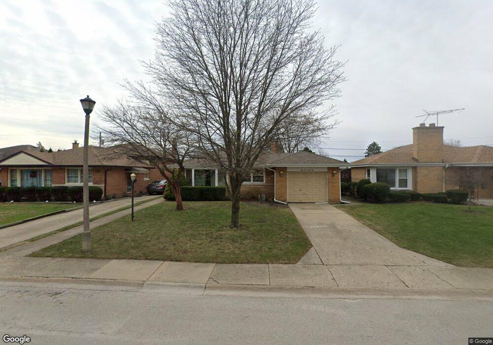
5435 Mulford St Skokie, IL 60077
Southwest Skokie NeighborhoodEstimated Value: $431,000 - $495,000
3
Beds
2
Baths
1,342
Sq Ft
$341/Sq Ft
Est. Value
About This Home
This home is located at 5435 Mulford St, Skokie, IL 60077 and is currently estimated at $457,936, approximately $341 per square foot. 5435 Mulford St is a home located in Cook County with nearby schools including Fairview South Elementary School, Niles West High School, and Cheder Lubavitch Hebrew Day School.
Ownership History
Date
Name
Owned For
Owner Type
Purchase Details
Closed on
Nov 1, 1995
Sold by
Johnson C Theodore and Johnson Dorothy L
Bought by
Stasica Constance P and Stasica Virginia C
Current Estimated Value
Home Financials for this Owner
Home Financials are based on the most recent Mortgage that was taken out on this home.
Original Mortgage
$95,000
Interest Rate
7.7%
Create a Home Valuation Report for This Property
The Home Valuation Report is an in-depth analysis detailing your home's value as well as a comparison with similar homes in the area
Home Values in the Area
Average Home Value in this Area
Purchase History
| Date | Buyer | Sale Price | Title Company |
|---|---|---|---|
| Stasica Constance P | $228,000 | Intercounty Title |
Source: Public Records
Mortgage History
| Date | Status | Borrower | Loan Amount |
|---|---|---|---|
| Previous Owner | Stasica Constance P | $95,000 |
Source: Public Records
Tax History Compared to Growth
Tax History
| Year | Tax Paid | Tax Assessment Tax Assessment Total Assessment is a certain percentage of the fair market value that is determined by local assessors to be the total taxable value of land and additions on the property. | Land | Improvement |
|---|---|---|---|---|
| 2024 | $7,811 | $39,000 | $8,060 | $30,940 |
| 2023 | $7,538 | $39,000 | $8,060 | $30,940 |
| 2022 | $7,538 | $39,000 | $8,060 | $30,940 |
| 2021 | $5,851 | $28,549 | $4,960 | $23,589 |
| 2020 | $5,690 | $28,549 | $4,960 | $23,589 |
| 2019 | $5,883 | $32,078 | $4,960 | $27,118 |
| 2018 | $5,646 | $28,525 | $4,495 | $24,030 |
| 2017 | $5,727 | $28,525 | $4,495 | $24,030 |
| 2016 | $5,872 | $28,525 | $4,495 | $24,030 |
| 2015 | $5,153 | $24,234 | $3,875 | $20,359 |
| 2014 | $5,004 | $24,234 | $3,875 | $20,359 |
| 2013 | $5,056 | $24,234 | $3,875 | $20,359 |
Source: Public Records
Map
Nearby Homes
- 5501 Mulford St
- 5500 Harvard Terrace
- 5261 Mulford St
- 5505 Oakton St
- 5251 Galitz St Unit 410
- 5251 Galitz St Unit 311
- 5153 Dobson St
- 7507 Frontage Rd
- 7500 Laramie Ave
- 7848 Lincoln Ave
- 8128 Laramie Ave
- 4953 Oakton St Unit 510
- 4953 Oakton St Unit P11
- 4953 Oakton St Unit 207
- 5148 Cleveland St
- 4931 Brummel St
- 5000 Oakton St Unit 505
- 5037 Fargo Ave
- 8306 Central Ave
- 4907 Hull St
- 5431 Mulford St
- 5439 Mulford St
- 5427 Mulford St
- 5443 Mulford St
- 5423 Mulford St
- 5447 Mulford St
- 5436 Harvard Terrace
- 7800 Lotus Ave
- 5430 Harvard Terrace
- 5438 Harvard Terrace
- 5424 Harvard Terrace
- 5442 Harvard Terrace
- 5451 Mulford St
- 7806 Lotus Ave
- 5417 Mulford St
- 5422 Harvard Terrace
- 5446 Harvard Terrace
- 7801 Linder Ave
- 7801 Linder Ave
- 7801 Lotus Ave