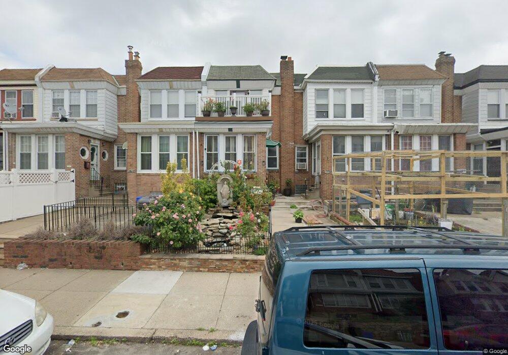
5435 Rutland St Philadelphia, PA 19124
Frankford NeighborhoodEstimated Value: $196,000 - $226,000
3
Beds
1
Bath
1,417
Sq Ft
$149/Sq Ft
Est. Value
About This Home
This home is located at 5435 Rutland St, Philadelphia, PA 19124 and is currently estimated at $211,707, approximately $149 per square foot. 5435 Rutland St is a home located in Philadelphia County with nearby schools including Frankford High School, The Philadelphia Charter School for the Arts & Sciences, and St Martin Of Tours Catholic School.
Ownership History
Date
Name
Owned For
Owner Type
Purchase Details
Closed on
Jan 14, 2003
Sold by
Condon Kathleen
Bought by
Pritchett Evette
Current Estimated Value
Home Financials for this Owner
Home Financials are based on the most recent Mortgage that was taken out on this home.
Original Mortgage
$73,000
Interest Rate
5.95%
Purchase Details
Closed on
Jul 23, 2002
Sold by
Condon Kathleen A
Bought by
Condon Kathleen A
Create a Home Valuation Report for This Property
The Home Valuation Report is an in-depth analysis detailing your home's value as well as a comparison with similar homes in the area
Home Values in the Area
Average Home Value in this Area
Purchase History
| Date | Buyer | Sale Price | Title Company |
|---|---|---|---|
| Pritchett Evette | $73,000 | -- | |
| Condon Kathleen A | -- | -- |
Source: Public Records
Mortgage History
| Date | Status | Borrower | Loan Amount |
|---|---|---|---|
| Previous Owner | Pritchett Evette | $73,000 |
Source: Public Records
Tax History Compared to Growth
Tax History
| Year | Tax Paid | Tax Assessment Tax Assessment Total Assessment is a certain percentage of the fair market value that is determined by local assessors to be the total taxable value of land and additions on the property. | Land | Improvement |
|---|---|---|---|---|
| 2026 | $2,126 | $183,100 | $36,620 | $146,480 |
| 2025 | $2,126 | $183,100 | $36,620 | $146,480 |
| 2024 | $2,126 | $183,100 | $36,620 | $146,480 |
| 2023 | $2,126 | $151,900 | $30,300 | $121,600 |
| 2022 | $1,068 | $106,900 | $30,300 | $76,600 |
| 2021 | $1,698 | $0 | $0 | $0 |
| 2020 | $1,698 | $0 | $0 | $0 |
| 2019 | $1,629 | $0 | $0 | $0 |
| 2018 | $1,438 | $0 | $0 | $0 |
| 2017 | $1,438 | $0 | $0 | $0 |
| 2016 | $1,018 | $0 | $0 | $0 |
| 2015 | $974 | $0 | $0 | $0 |
| 2014 | -- | $102,700 | $19,031 | $83,669 |
| 2012 | -- | $13,760 | $1,188 | $12,572 |
Source: Public Records
Map
Nearby Homes
- 1431 Rosalie St
- 1137 Bridge St
- 1048 Bridge St
- 1209 E Sanger St
- 5902 E Roosevelt Blvd
- 5661 Miriam Rd
- 5659 Miriam Rd
- 5347 Sylvester St
- 1244 E Sanger St
- 5640 Miriam Rd
- 996 Anchor St
- 7753 E Roosevelt Blvd
- 991 Carver St
- 7600 E Roosevelt Blvd Unit 206
- 7600 E Roosevelt Blvd Unit 212
- 7600 E Roosevelt Blvd Unit 909
- 7600 E Roosevelt Blvd Unit 705
- 7600 E Roosevelt Blvd Unit 701
- 7600 E Roosevelt Blvd Unit 806
- 7600 E Roosevelt Blvd Unit 904
- 5437 Rutland St
- 5433 Rutland St
- 5439 Rutland St
- 5431 Rutland St
- 5441 Rutland St
- 5429 Rutland St
- 5443 Rutland St
- 5427 Rutland St
- 5445 Rutland St
- 5425 Rutland St
- 5447 Rutland St
- 5423 Rutland St
- 5436 Large St
- 5434 Large St
- 5438 Large St
- 5432 Large St
- 5449 Rutland St
- 5430 Large St
- 5421 Rutland St
- 5428 Large St