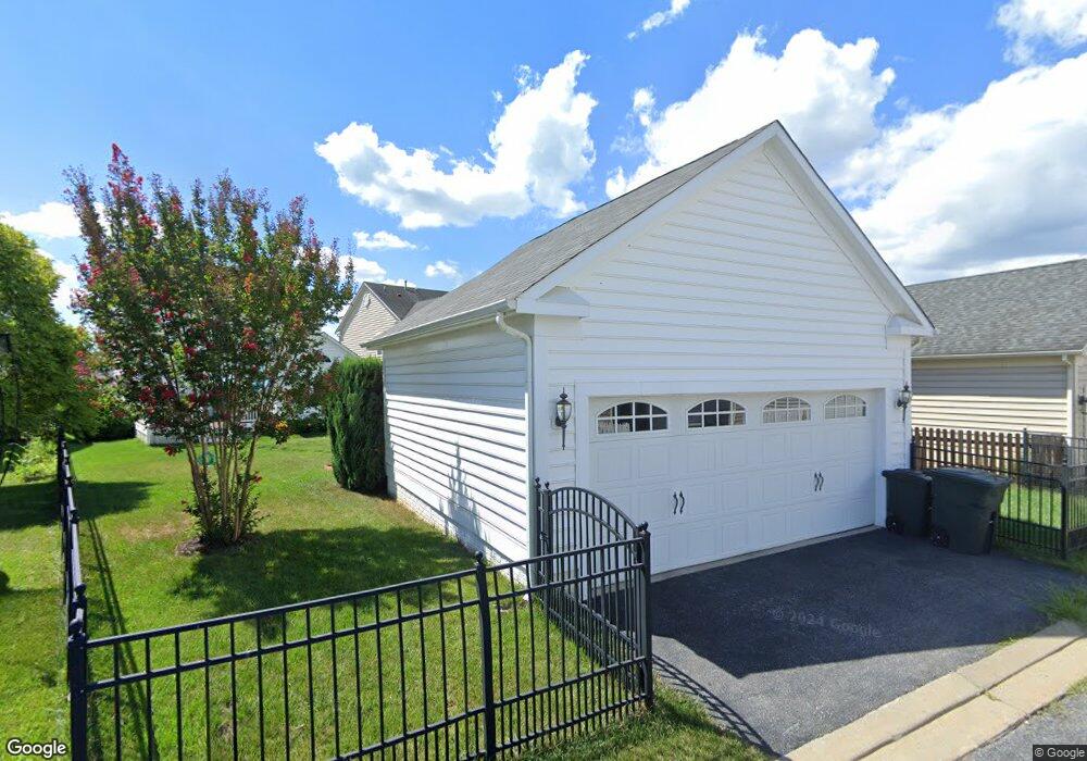
5436 Adamstown Commons Dr Adamstown, MD 21710
Estimated Value: $575,182 - $695,000
--
Bed
1
Bath
2,272
Sq Ft
$284/Sq Ft
Est. Value
About This Home
This home is located at 5436 Adamstown Commons Dr, Adamstown, MD 21710 and is currently estimated at $646,046, approximately $284 per square foot. 5436 Adamstown Commons Dr is a home located in Frederick County with nearby schools including Carroll Manor Elementary School, Ballenger Creek Middle School, and Tuscarora High School.
Ownership History
Date
Name
Owned For
Owner Type
Purchase Details
Closed on
Dec 1, 2023
Sold by
Kirschenman Jerry and Kirschenman Constantina
Bought by
Kirschenman Jerry
Current Estimated Value
Purchase Details
Closed on
Mar 19, 2010
Sold by
Nvr Inc
Bought by
Kirschenman Jerry and Kirschenman Constantina
Purchase Details
Closed on
Dec 11, 2009
Sold by
Adamstown Commons Adamstown Commons L and Adamstown Commons C
Bought by
Nvr Inc
Create a Home Valuation Report for This Property
The Home Valuation Report is an in-depth analysis detailing your home's value as well as a comparison with similar homes in the area
Home Values in the Area
Average Home Value in this Area
Purchase History
| Date | Buyer | Sale Price | Title Company |
|---|---|---|---|
| Kirschenman Jerry | -- | Northwest Title | |
| Kirschenman Jerry | $393,721 | -- | |
| Nvr Inc | $200,000 | -- |
Source: Public Records
Mortgage History
| Date | Status | Borrower | Loan Amount |
|---|---|---|---|
| Closed | Kirschenman Jerry | -- |
Source: Public Records
Tax History Compared to Growth
Tax History
| Year | Tax Paid | Tax Assessment Tax Assessment Total Assessment is a certain percentage of the fair market value that is determined by local assessors to be the total taxable value of land and additions on the property. | Land | Improvement |
|---|---|---|---|---|
| 2025 | $5,422 | $480,133 | -- | -- |
| 2024 | $5,422 | $440,500 | $108,100 | $332,400 |
| 2023 | $4,965 | $420,600 | $0 | $0 |
| 2022 | $4,733 | $400,700 | $0 | $0 |
| 2021 | $4,443 | $380,800 | $108,100 | $272,700 |
| 2020 | $4,443 | $374,967 | $0 | $0 |
| 2019 | $4,375 | $369,133 | $0 | $0 |
| 2018 | $4,346 | $363,300 | $108,100 | $255,200 |
| 2017 | $4,189 | $363,300 | $0 | $0 |
| 2016 | $4,256 | $342,967 | $0 | $0 |
| 2015 | $4,256 | $332,800 | $0 | $0 |
| 2014 | $4,256 | $332,800 | $0 | $0 |
Source: Public Records
Map
Nearby Homes
- 2727 Bill Dorsey Blvd
- 2730 John Mills Rd
- 0000 Modly Ct
- 00000 Modly Ct
- 00 Modly Ct
- 000 Modly Ct
- Macon II Plan at The Enclave at Carrollton Manor
- Adamstown Plan at The Enclave at Carrollton Manor
- Fayetteville Plan at The Enclave at Carrollton Manor
- Oban Plan at The Enclave at Carrollton Manor
- 2422 Doubs Ct
- 5523 Modly Ct
- 2735 Tuscarora St
- 2731 Tuscarora St
- 2730 Tuscarora St
- 2734 Tuscarora St
- 5798 Morland Dr N
- 5880 Union Ridge Dr
- 3039 Ballenger Creek Pike
- 2375 Ballenger Creek Pike
- 5434 Adamstown Commons Dr
- 5438 Adamstown Commons Dr
- 5432 Adamstown Commons Dr
- 5407 Lott St
- 5440 Adamstown Commons Dr
- 5409 Lott St
- 5411 Lott St
- 2701 John Mills Rd
- 2702 Bill Dorsey Blvd
- 2705 John Mills Rd
- 5405 Lott St
- 5413 Lott St
- 2704 Bill Dorsey Blvd
- 2703 John Mills Rd
- 5403 Lott St
- 2706 Bill Dorsey Blvd
- 2708 Bill Dorsey Blvd
- 5401 Lott St
- 2710 Bill Dorsey Blvd
- 5419 Lott St