Estimated Value: $106,000 - $139,132
3
Beds
1
Bath
720
Sq Ft
$169/Sq Ft
Est. Value
About This Home
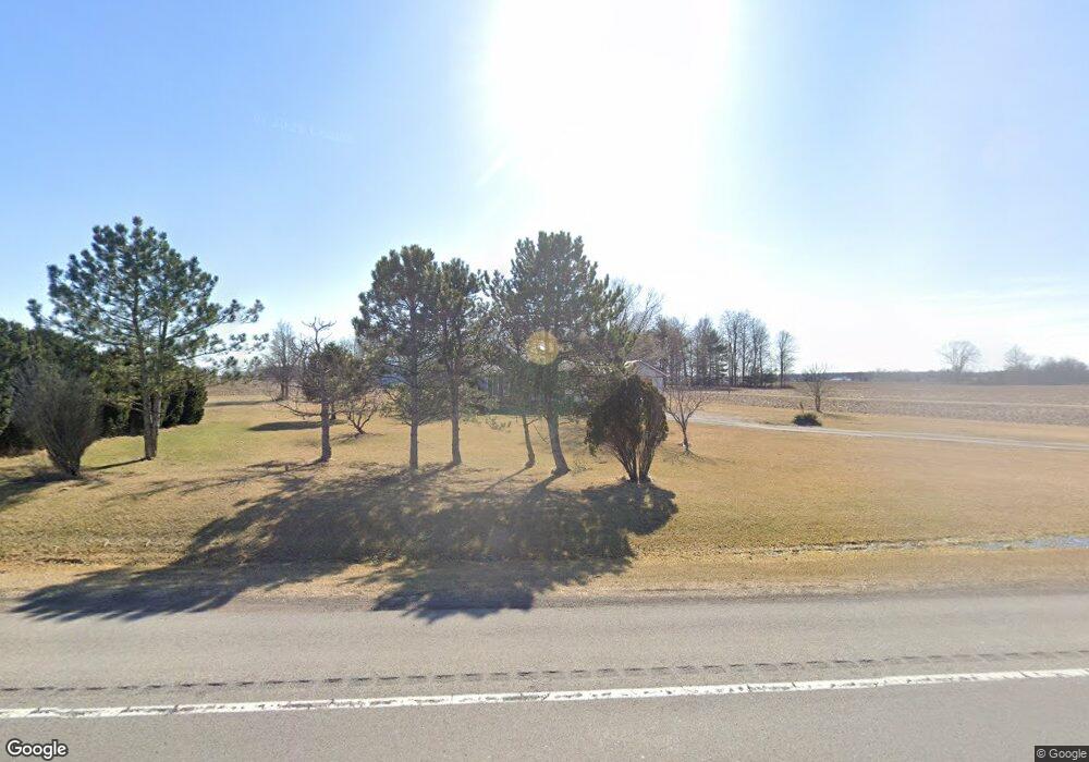
This home is located at 5436 State Route 309, Ada, OH 45810 and is currently estimated at $122,033, approximately $169 per square foot. 5436 State Route 309 is a home located in Hardin County with nearby schools including Upper Scioto Valley Elementary School, Upper Scioto Valley Middle School, and Upper Scioto Valley High School.
Ownership History
Date
Name
Owned For
Owner Type
Purchase Details
Closed on
Aug 6, 2015
Sold by
Mullett Timothy A and Mullett Anissa L
Bought by
Shepherd Lloyd
Current Estimated Value
Purchase Details
Closed on
Feb 4, 1997
Bought by
Mullett Timothy A and Mullett Anis
Purchase Details
Closed on
Aug 27, 1990
Create a Home Valuation Report for This Property
The Home Valuation Report is an in-depth analysis detailing your home's value as well as a comparison with similar homes in the area
Home Values in the Area
Average Home Value in this Area
Purchase History
| Date | Buyer | Sale Price | Title Company |
|---|---|---|---|
| Shepherd Lloyd | $47,000 | None Available | |
| Mullett Timothy A | $68,000 | -- | |
| -- | $2,000 | -- |
Source: Public Records
Tax History Compared to Growth
Tax History
| Year | Tax Paid | Tax Assessment Tax Assessment Total Assessment is a certain percentage of the fair market value that is determined by local assessors to be the total taxable value of land and additions on the property. | Land | Improvement |
|---|---|---|---|---|
| 2024 | $1,254 | $35,680 | $6,970 | $28,710 |
| 2023 | $1,254 | $35,680 | $6,970 | $28,710 |
| 2022 | $1,173 | $29,460 | $4,810 | $24,650 |
| 2021 | $1,243 | $29,460 | $4,810 | $24,650 |
| 2020 | $1,258 | $29,460 | $4,810 | $24,650 |
| 2019 | $957 | $24,210 | $4,600 | $19,610 |
| 2018 | $962 | $24,210 | $4,600 | $19,610 |
| 2017 | $966 | $24,210 | $4,600 | $19,610 |
| 2016 | $989 | $27,990 | $4,070 | $23,920 |
| 2015 | $956 | $27,990 | $4,070 | $23,920 |
| 2014 | $989 | $27,990 | $4,070 | $23,920 |
| 2013 | $1,138 | $30,020 | $4,070 | $25,950 |
Source: Public Records
Map
Nearby Homes
- 3931 County Road 80
- 501 Elm St
- 2864 Ohio 309
- 900 N Front St
- 203 Belmont St
- 710 S Main St
- 314 E University Ave
- 308-310 S Simon St
- 301 S Main St
- 212 N Simon St
- 211 S Main St
- 211 W Buckeye Ave Unit 211 1/2
- 210 N Gilbert St
- 442 Edwards St
- 444 Edwards St Unit A, B
- 444 Edwards St Unit 2
- 4071 Township Road 35
- 128 W North Ave
- 629 N Main St
- 6782 County Road 15
- 5442 State Route 309
- 5442 Sr
- 5442 Ohio 309
- 5324 State Route 309
- 5324 Ohio 309
- 5429 State Route 309
- 5749 State Route 309
- 6750 State Route 195
- 6804 State Route 195
- 6804 Ohio 195
- 6751 State Route 195
- 6845 State Route 195
- 6867 State Route 195
- 6935 State Route 195
- 6545 State Route 195
- 6545 State Route 195
- 6978 State Route 195
- 6978 Sr