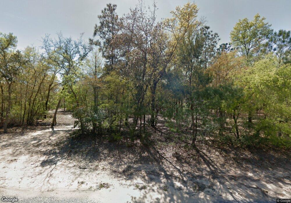
5438 Clint Mason Rd Crestview, FL 32539
Estimated Value: $441,000 - $626,497
3
Beds
3
Baths
2,686
Sq Ft
$191/Sq Ft
Est. Value
About This Home
This home is located at 5438 Clint Mason Rd, Crestview, FL 32539 and is currently estimated at $512,499, approximately $190 per square foot. 5438 Clint Mason Rd is a home with nearby schools including Walker Elementary School, Davidson Middle School, and Crestview High School.
Ownership History
Date
Name
Owned For
Owner Type
Purchase Details
Closed on
Jan 29, 2010
Sold by
Mallory Douglas M and Mallory Terri A
Bought by
Marcoux John E and Marcoux Linda M
Current Estimated Value
Home Financials for this Owner
Home Financials are based on the most recent Mortgage that was taken out on this home.
Original Mortgage
$47,676
Interest Rate
5.02%
Mortgage Type
Seller Take Back
Purchase Details
Closed on
Jun 29, 2005
Sold by
Forehand Scott D
Bought by
Mallory Douglas M and Mallory Terri A
Create a Home Valuation Report for This Property
The Home Valuation Report is an in-depth analysis detailing your home's value as well as a comparison with similar homes in the area
Home Values in the Area
Average Home Value in this Area
Purchase History
| Date | Buyer | Sale Price | Title Company |
|---|---|---|---|
| Marcoux John E | $85,000 | Rels Title | |
| Mallory Douglas M | $100,000 | Old South Land Title Company |
Source: Public Records
Mortgage History
| Date | Status | Borrower | Loan Amount |
|---|---|---|---|
| Closed | Marcoux John E | $47,676 |
Source: Public Records
Tax History Compared to Growth
Tax History
| Year | Tax Paid | Tax Assessment Tax Assessment Total Assessment is a certain percentage of the fair market value that is determined by local assessors to be the total taxable value of land and additions on the property. | Land | Improvement |
|---|---|---|---|---|
| 2025 | $1,440 | $181,186 | -- | -- |
| 2024 | $1,361 | $176,080 | -- | -- |
| 2023 | $1,361 | $170,951 | $0 | $0 |
| 2022 | $1,328 | $165,972 | $0 | $0 |
| 2021 | $1,326 | $161,138 | $0 | $0 |
| 2020 | $1,312 | $158,913 | $0 | $0 |
| 2019 | $1,294 | $155,340 | $0 | $0 |
| 2018 | $1,281 | $152,444 | $0 | $0 |
| 2017 | $1,275 | $149,309 | $0 | $0 |
| 2016 | $1,240 | $146,238 | $0 | $0 |
| 2015 | $480 | $35,310 | $0 | $0 |
| 2014 | $752 | $64,089 | $0 | $0 |
Source: Public Records
Map
Nearby Homes
- 3681 Grady Johnson Rd
- Parcel B Bear Head Rd
- TBD Bear Head Rd
- Parcel A Bear Head Rd
- 3304 Skywagon Dr
- TBD Mirasol Ln
- 5761 Highland Hills Rd
- 0 Bear Creek Rd
- x Bear Creek Rd
- 4017 Bear Creek Rd
- 3.31 ACRES Bear Branch Rd
- 5730 Mount Olive Rd
- 4188 Big Buck Trail
- 5448 Mount Olive Rd
- 5570 Mount Olive Rd
- 5719 Woolley Rd
- 5256 Mount Olive Rd
- 3985 Highway 90 E
- 5698 Ryan Rd
- 5225 Mount Olive Rd
- 5450 Clint Mason Rd
- 46 ACRES Clint Mason Rd
- 5400 Clint Mason Rd
- 5451 Clint Mason Rd
- 5464 Clint Mason Rd
- 41 AC Clint Mason Rd
- 5383 Lowell Mason Rd
- 5405 Lowell Mason Rd
- 5425 Lowell Mason Rd
- 5373 Lowell Mason Rd
- 5459 Clint Mason Rd
- 5396 Lowell Mason Rd
- 5384 Lowell Mason Rd
- 5364 Lowell Mason Rd
- 5358 Lowell Mason Rd
- 5467 Clint Mason Rd
- 5342 Lowell Mason Rd
- 5351 Four Lake Dr
- 5341 Four Lake Dr
- 5337 Four Lake Dr
