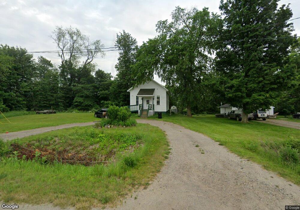
544 142nd Ave Wayland, MI 49348
Estimated Value: $262,000 - $476,000
2
Beds
2
Baths
1,000
Sq Ft
$334/Sq Ft
Est. Value
About This Home
This home is located at 544 142nd Ave, Wayland, MI 49348 and is currently estimated at $333,629, approximately $333 per square foot. 544 142nd Ave is a home located in Allegan County with nearby schools including Wayland High School and Moline Christian School.
Ownership History
Date
Name
Owned For
Owner Type
Purchase Details
Closed on
Nov 2, 2004
Sold by
Hupp David W and Hupp Constance R
Bought by
Pfauth Ross and Pfauth Rebecca
Current Estimated Value
Home Financials for this Owner
Home Financials are based on the most recent Mortgage that was taken out on this home.
Original Mortgage
$152,950
Interest Rate
5.75%
Mortgage Type
Construction
Purchase Details
Closed on
May 22, 1999
Sold by
Hupp David and Hupp Constance
Bought by
Hupp David and Hupp Constance
Purchase Details
Closed on
Feb 11, 1999
Sold by
Waugh Joyce
Bought by
Hupp David and Hupp Constance
Create a Home Valuation Report for This Property
The Home Valuation Report is an in-depth analysis detailing your home's value as well as a comparison with similar homes in the area
Home Values in the Area
Average Home Value in this Area
Purchase History
| Date | Buyer | Sale Price | Title Company |
|---|---|---|---|
| Pfauth Ross | $40,000 | Michigan Bankers Title | |
| Hupp David | -- | -- | |
| Hupp David | -- | -- |
Source: Public Records
Mortgage History
| Date | Status | Borrower | Loan Amount |
|---|---|---|---|
| Closed | Pfauth Ross | $152,950 |
Source: Public Records
Tax History Compared to Growth
Tax History
| Year | Tax Paid | Tax Assessment Tax Assessment Total Assessment is a certain percentage of the fair market value that is determined by local assessors to be the total taxable value of land and additions on the property. | Land | Improvement |
|---|---|---|---|---|
| 2025 | $1,850 | $100,600 | $28,500 | $72,100 |
| 2024 | $1,684 | $96,700 | $25,100 | $71,600 |
| 2023 | $1,684 | $87,700 | $25,100 | $62,600 |
| 2022 | $1,684 | $79,900 | $25,100 | $54,800 |
| 2021 | $1,573 | $76,200 | $25,700 | $50,500 |
| 2020 | $1,551 | $71,700 | $25,700 | $46,000 |
| 2019 | $1,526 | $67,700 | $24,400 | $43,300 |
| 2018 | $1,452 | $64,800 | $24,400 | $40,400 |
| 2017 | $0 | $56,900 | $24,400 | $32,500 |
| 2016 | $0 | $52,000 | $24,400 | $27,600 |
| 2015 | -- | $52,000 | $24,400 | $27,600 |
| 2014 | -- | $46,900 | $22,100 | $24,800 |
| 2013 | $1,369 | $45,200 | $22,100 | $23,100 |
Source: Public Records
Map
Nearby Homes
- 1376 142nd Ave
- 3905 Sunset View
- 4007 2nd St
- 4525 Mesa Ct SE
- 366 Green Ridge Dr
- 4626 Hilltop Dr
- 4632 Wren Dr SE
- 446 Bayview Ct
- 4655 Paris Ridge Dr
- 4243 Butternut Dr
- 4245 Butternut Dr
- 4249 Butternut Dr
- 246 Wren Ct
- Bayberry Plan at Paris Ridge
- Freedom Plan at Paris Ridge
- Charlotte Plan at Paris Ridge
- Karolynn Plan at Paris Ridge
- Oxford Plan at Paris Ridge
- Sierra Plan at Paris Ridge
- Hampton Plan at Paris Ridge
- 504 142nd Ave
- 548 142nd Ave
- 535 142nd Ave
- 4191 Kalamazoo Dr
- 4175 Kalamazoo Dr
- 4175 Kalamazoo Ave
- 4203 Kalamazoo Dr
- 4182 Kalamazoo Dr
- 503 142nd Ave
- 4210 Kalamazoo Dr
- 492 142nd Ave
- 4226 Kalamazoo Dr
- 4232 Kalamazoo Dr
- 4241 Kalamazoo Dr
- 490 142nd Ave
- 465 141st Ave
- 4226 5th St
- 475 142nd Ave
- 789 1/2 142nd Ave
- 445 141st Ave