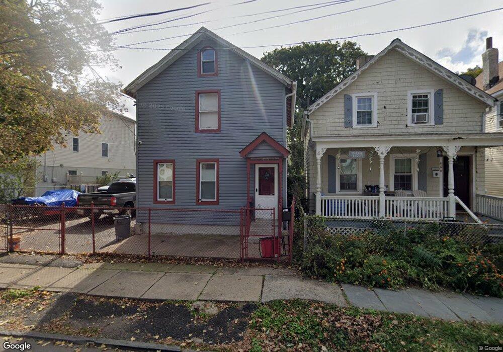
544 Beach St Orange, NJ 07050
Estimated Value: $124,000 - $555,000
Studio
--
Bath
1,368
Sq Ft
$277/Sq Ft
Est. Value
About This Home
This home is located at 544 Beach St, Orange, NJ 07050 and is currently estimated at $379,613, approximately $277 per square foot. 544 Beach St is a home located in Essex County.
Ownership History
Date
Name
Owned For
Owner Type
Purchase Details
Closed on
Jul 17, 2025
Sold by
Greenberg Jonathan and Jacobs Marc
Bought by
Jacobs Marc
Current Estimated Value
Purchase Details
Closed on
May 24, 2016
Sold by
Bruce Ronald
Bought by
312 Hawthorne St Llc
Purchase Details
Closed on
Jul 14, 2006
Sold by
Lopez Jose
Bought by
Greenberg Jonathan and Jacobs Mark
Purchase Details
Closed on
Oct 11, 1996
Sold by
Constantino John
Bought by
Lopez Jose and Lopez Rosa
Home Financials for this Owner
Home Financials are based on the most recent Mortgage that was taken out on this home.
Original Mortgage
$48,000
Interest Rate
8.07%
Create a Home Valuation Report for This Property
The Home Valuation Report is an in-depth analysis detailing your home's value as well as a comparison with similar homes in the area
Home Values in the Area
Average Home Value in this Area
Purchase History
| Date | Buyer | Sale Price | Title Company |
|---|---|---|---|
| Jacobs Marc | $120,000 | Acres Land Title | |
| 312 Hawthorne St Llc | $30,000 | -- | |
| Greenberg Jonathan | $150,000 | -- | |
| Lopez Jose | $50,000 | -- |
Source: Public Records
Mortgage History
| Date | Status | Borrower | Loan Amount |
|---|---|---|---|
| Previous Owner | Lopez Jose | $48,000 |
Source: Public Records
Tax History
| Year | Tax Paid | Tax Assessment Tax Assessment Total Assessment is a certain percentage of the fair market value that is determined by local assessors to be the total taxable value of land and additions on the property. | Land | Improvement |
|---|---|---|---|---|
| 2025 | $8,706 | $233,600 | $121,500 | $112,100 |
| 2024 | $8,706 | $233,600 | $121,500 | $112,100 |
Source: Public Records
Map
Nearby Homes
- 647 Scotland Rd
- 669 Scotland Rd
- 669 Scotland Rd Unit 2
- 656 Scotland Rd
- 548 Tremont Ave
- 488 Heywood Ave
- 668 Lincoln Ave
- 631 Valley St
- 622 Tremont Ave
- 567 Mcchesney St
- 530 Lincoln Ave
- 408 Heywood Ave
- 585 Mcchesney St
- 399 Tremont Ave
- 745 Valley St
- 403 Lawnridge Rd
- 540 Liberty St
- 527 Valley St
- 467 Fairview Ave
- 520 Scotland Rd
Your Personal Tour Guide
Ask me questions while you tour the home.