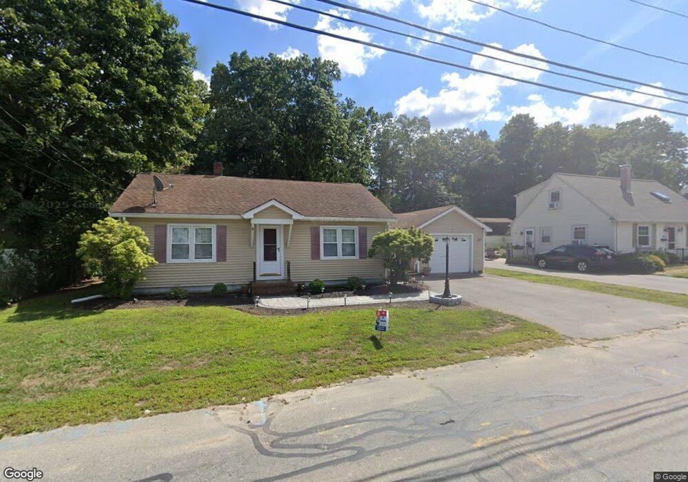
544 Cohannet St Taunton, MA 02780
Estimated Value: $414,000 - $430,059
2
Beds
1
Bath
945
Sq Ft
$448/Sq Ft
Est. Value
About This Home
This home is located at 544 Cohannet St, Taunton, MA 02780 and is currently estimated at $423,765, approximately $448 per square foot. 544 Cohannet St is a home located in Bristol County with nearby schools including Mulcahey Elementary School, Taunton High School, and John F. Parker Middle School.
Ownership History
Date
Name
Owned For
Owner Type
Purchase Details
Closed on
Sep 12, 2001
Sold by
Carey Gertrude I
Bought by
Simmons Michael
Current Estimated Value
Home Financials for this Owner
Home Financials are based on the most recent Mortgage that was taken out on this home.
Original Mortgage
$10,000
Interest Rate
6.89%
Create a Home Valuation Report for This Property
The Home Valuation Report is an in-depth analysis detailing your home's value as well as a comparison with similar homes in the area
Home Values in the Area
Average Home Value in this Area
Purchase History
| Date | Buyer | Sale Price | Title Company |
|---|---|---|---|
| Simmons Michael | $138,000 | -- |
Source: Public Records
Mortgage History
| Date | Status | Borrower | Loan Amount |
|---|---|---|---|
| Open | Simmons Michael | $170,000 | |
| Closed | Simmons Michael | $20,000 | |
| Closed | Simmons Michael | $10,000 | |
| Closed | Simmons Michael | $131,100 |
Source: Public Records
Tax History Compared to Growth
Tax History
| Year | Tax Paid | Tax Assessment Tax Assessment Total Assessment is a certain percentage of the fair market value that is determined by local assessors to be the total taxable value of land and additions on the property. | Land | Improvement |
|---|---|---|---|---|
| 2025 | $4,022 | $367,600 | $117,500 | $250,100 |
| 2024 | $3,761 | $336,100 | $117,500 | $218,600 |
| 2023 | $3,752 | $311,400 | $122,800 | $188,600 |
| 2022 | $3,477 | $263,800 | $95,200 | $168,600 |
| 2021 | $3,300 | $232,400 | $86,600 | $145,800 |
| 2020 | $3,283 | $220,900 | $86,600 | $134,300 |
| 2019 | $3,377 | $214,300 | $86,600 | $127,700 |
| 2018 | $3,135 | $199,400 | $87,400 | $112,000 |
| 2017 | $3,016 | $192,000 | $82,900 | $109,100 |
| 2016 | $2,906 | $185,300 | $80,500 | $104,800 |
| 2015 | $2,781 | $185,300 | $79,300 | $106,000 |
| 2014 | $2,666 | $182,500 | $79,300 | $103,200 |
Source: Public Records
Map
Nearby Homes
- 193 Winthrop St
- 56 Silver St
- 24 Highland Terrace
- 132 Winthrop St
- 22 Everett St
- 125 Highland St Unit 103
- 72 Barnum St
- 39 Myrtle St
- 98 Winthrop St
- 170 Highland St Unit 320
- 278 Cohannet St
- 26 Kilmer Ave
- 16 Clinton St
- 19 Mason St
- 48 Oak St
- 55 Highland Ave
- 63 Kilmer Ave
- 16 Kilton St
- 46 Harrison St Unit 4
- 252 Somerset Ave