544 Dugway Bridge Rd West Kingston, RI 02892
Estimated Value: $608,000 - $1,066,791
3
Beds
3
Baths
1,602
Sq Ft
$473/Sq Ft
Est. Value
About This Home
This home is located at 544 Dugway Bridge Rd, West Kingston, RI 02892 and is currently estimated at $757,448, approximately $472 per square foot. 544 Dugway Bridge Rd is a home located in Washington County with nearby schools including South Kingstown High School and Meadowbrook Waldorf School.
Ownership History
Date
Name
Owned For
Owner Type
Purchase Details
Closed on
Mar 20, 2012
Sold by
Anderson Peter D and Anderson Susan D
Bought by
Anderson Peter D and Anderson Susan D
Current Estimated Value
Create a Home Valuation Report for This Property
The Home Valuation Report is an in-depth analysis detailing your home's value as well as a comparison with similar homes in the area
Home Values in the Area
Average Home Value in this Area
Purchase History
| Date | Buyer | Sale Price | Title Company |
|---|---|---|---|
| Anderson Peter D | -- | -- |
Source: Public Records
Mortgage History
| Date | Status | Borrower | Loan Amount |
|---|---|---|---|
| Open | Anderson Peter D | $37,000 | |
| Previous Owner | Anderson Peter D | $145,000 | |
| Previous Owner | Anderson Peter D | $150,000 | |
| Previous Owner | Anderson Peter D | $98,000 |
Source: Public Records
Tax History Compared to Growth
Tax History
| Year | Tax Paid | Tax Assessment Tax Assessment Total Assessment is a certain percentage of the fair market value that is determined by local assessors to be the total taxable value of land and additions on the property. | Land | Improvement |
|---|---|---|---|---|
| 2025 | $9,386 | $1,049,900 | $337,800 | $712,100 |
| 2024 | $9,921 | $897,800 | $266,400 | $631,400 |
| 2023 | $9,921 | $897,800 | $266,400 | $631,400 |
| 2022 | $9,831 | $897,800 | $266,400 | $631,400 |
| 2021 | $9,988 | $691,200 | $223,200 | $468,000 |
| 2020 | $9,988 | $691,200 | $223,200 | $468,000 |
| 2019 | $9,988 | $691,200 | $223,200 | $468,000 |
| 2018 | $9,610 | $612,900 | $215,700 | $397,200 |
| 2017 | $8,924 | $582,900 | $215,700 | $367,200 |
| 2016 | $8,343 | $552,900 | $215,700 | $337,200 |
| 2015 | $8,181 | $527,100 | $205,300 | $321,800 |
| 2014 | $6,342 | $409,700 | $205,300 | $204,400 |
Source: Public Records
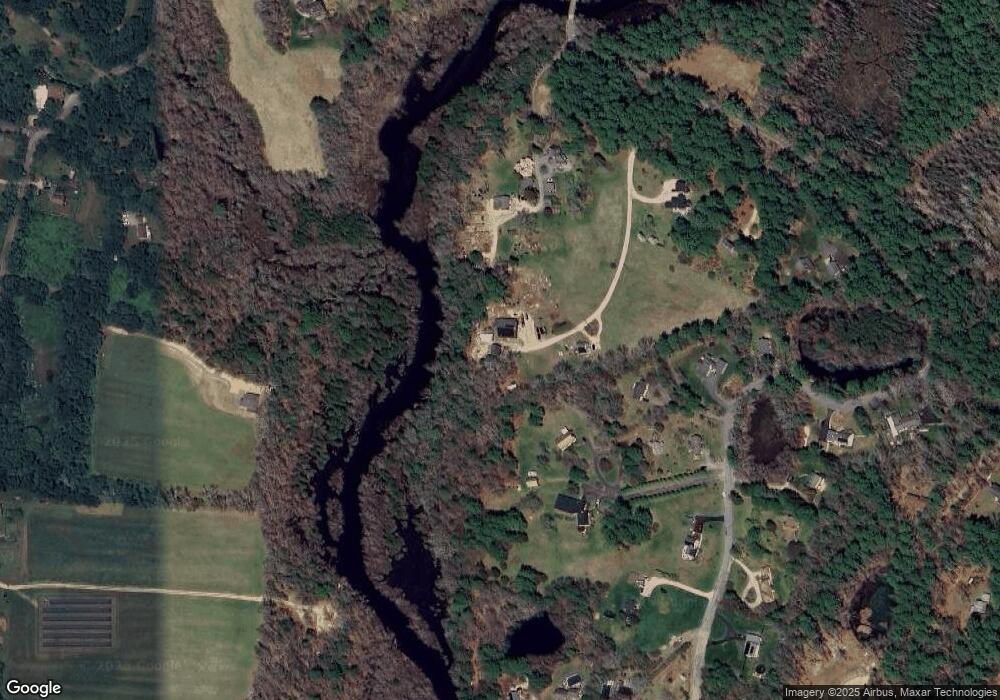
Map
Nearby Homes
- 500 Kingstown Rd Unit 3B
- 49 Oakland Rd
- 58 Sand Turn Rd
- 6 Excalibur Dr
- 0 Trail Unit 1391661
- 1035 Liberty Ln
- 5 Woodmansee Ct
- 464 Gardiner Rd
- 564 S County Trail
- 95 Mail Rd
- 18 Railroad Ave
- 0 Liberty Ln E Unit 1397022
- 5 Carolina Nooseneck Rd Unit B
- 5 Carolina Nooseneck Rd Unit A
- 77 Scenic Way Unit 16
- 23 Sanford Farm Rd
- 400 Yawgoo Valley Rd
- 1 Bridgeview Dr
- 185 Carolina Nooseneck Rd
- 7 Avery Way
- 40 Monahan Manor Way
- 40 Monahan Manor Way
- 65 Queens River Dr
- 30 Monahan Manor Way
- 590 Dugway Bridge Rd
- 61 Queens River Dr
- 71 Queens River Dr
- 99 Queens River Dr
- 542 Dugway Bridge Rd
- 51 Queens River Dr
- 119 Queens River Dr
- 502 Dugway Bridge Rd
- 500 Dugway Bridge Rd
- 94 Queens River Dr
- 28 Queens River Dr
- 171 Queens River Dr Unit C
- 171 Queens River Dr Unit B
- 171 Queens River Dr Unit D
- 171 Queens River Dr Unit A
- 171 Queens River Dr