Estimated Value: $232,000 - $485,521
3
Beds
1
Bath
1,653
Sq Ft
$217/Sq Ft
Est. Value
About This Home
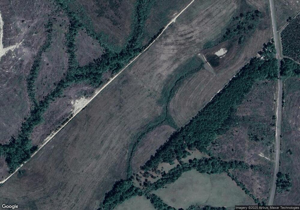
This home is located at 544 Edison Ray Rd, Rhine, GA 31077 and is currently estimated at $358,761, approximately $217 per square foot. 544 Edison Ray Rd is a home with nearby schools including Telfair County Elementary School, Telfair County Middle School, and Telfair County High School.
Ownership History
Date
Name
Owned For
Owner Type
Purchase Details
Closed on
Jul 31, 2025
Sold by
Yawn Wesley L
Bought by
Yawn Wesley L and Yawn Pauline
Current Estimated Value
Purchase Details
Closed on
Jul 29, 2025
Sold by
Yawn Hall Janet
Bought by
Yawn Wesley and Yawn Pauline
Purchase Details
Closed on
Jan 24, 2025
Sold by
Yawn Wesley
Bought by
Yawn Hall Janet
Purchase Details
Closed on
Jul 7, 2009
Sold by
Yawn Hugh L
Bought by
Yawn Wesley
Create a Home Valuation Report for This Property
The Home Valuation Report is an in-depth analysis detailing your home's value as well as a comparison with similar homes in the area
Home Values in the Area
Average Home Value in this Area
Purchase History
| Date | Buyer | Sale Price | Title Company |
|---|---|---|---|
| Yawn Wesley L | -- | -- | |
| Yawn Wesley L | -- | -- | |
| Yawn Wesley | -- | -- | |
| Yawn Hall Janet | -- | -- | |
| Yawn Wesley | $74,000 | -- |
Source: Public Records
Tax History Compared to Growth
Tax History
| Year | Tax Paid | Tax Assessment Tax Assessment Total Assessment is a certain percentage of the fair market value that is determined by local assessors to be the total taxable value of land and additions on the property. | Land | Improvement |
|---|---|---|---|---|
| 2024 | $3,658 | $157,053 | $70,966 | $86,087 |
| 2023 | $3,512 | $151,238 | $68,916 | $82,322 |
| 2022 | $3,641 | $156,654 | $68,916 | $87,738 |
| 2021 | $2,893 | $123,899 | $64,496 | $59,403 |
| 2020 | $2,659 | $115,838 | $64,496 | $51,342 |
| 2019 | $2,475 | $110,463 | $64,496 | $45,967 |
| 2018 | $1,654 | $51,413 | $6,477 | $44,936 |
| 2017 | $1,420 | $52,555 | $7,660 | $44,895 |
| 2016 | $1,420 | $50,963 | $7,660 | $43,303 |
| 2015 | -- | $50,963 | $7,660 | $43,303 |
| 2014 | -- | $52,709 | $8,303 | $44,406 |
| 2013 | -- | $48,291 | $8,303 | $39,988 |
Source: Public Records
Map
Nearby Homes
- 1533 W River Rd
- 0 Wilcox Ln Unit 10606878
- 275 Marchants Dairy Rd
- 0 River Rd
- Lot 38 Crestview Rd
- 108 Champagne Dr
- 00 W River Rd
- Hwy 319-441
- 57 E Dogwood Dr
- 441 U S 319
- 0 E River Rd Unit 20927603
- 0 E River Rd Unit 20291894
- 0 E River Rd Unit 154466
- 0 E River Rd Unit 1646569
- 0 E River Rd Unit 10297440
- 0 Sturgeon Creek Rd Lt 3
- 45 Mount Zion St
- 197 Mobley Bluff Rd
- 0 U S Highway 280
- 399 Lee St
