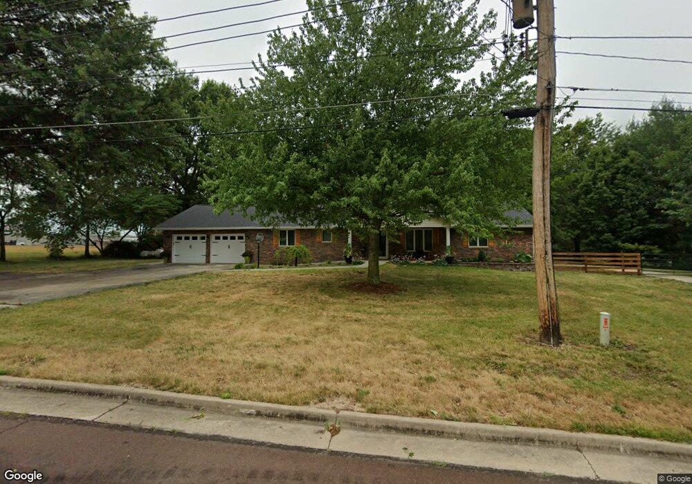
544 Hunt St Brookfield, MO 64628
Estimated Value: $165,000 - $328,487
3
Beds
2
Baths
1,800
Sq Ft
$129/Sq Ft
Est. Value
About This Home
This home is located at 544 Hunt St, Brookfield, MO 64628 and is currently estimated at $232,872, approximately $129 per square foot. 544 Hunt St is a home with nearby schools including Brookfield Elementary School, Brookfield Middle School, and Brookfield High School.
Ownership History
Date
Name
Owned For
Owner Type
Purchase Details
Closed on
Aug 27, 2021
Sold by
Ballard Ronnie C and Ballard Katherine M
Bought by
Switzer Randall and Switzer Lori
Current Estimated Value
Home Financials for this Owner
Home Financials are based on the most recent Mortgage that was taken out on this home.
Original Mortgage
$188,000
Outstanding Balance
$163,956
Interest Rate
2.8%
Mortgage Type
Construction
Estimated Equity
$68,916
Purchase Details
Closed on
May 24, 2018
Sold by
Fessler S G S and Fessler Irene
Bought by
Ballard Ronnie C
Home Financials for this Owner
Home Financials are based on the most recent Mortgage that was taken out on this home.
Original Mortgage
$142,500
Interest Rate
4.4%
Mortgage Type
New Conventional
Create a Home Valuation Report for This Property
The Home Valuation Report is an in-depth analysis detailing your home's value as well as a comparison with similar homes in the area
Home Values in the Area
Average Home Value in this Area
Purchase History
| Date | Buyer | Sale Price | Title Company |
|---|---|---|---|
| Switzer Randall | $235,000 | -- | |
| Ballard Ronnie C | $178,225 | -- |
Source: Public Records
Mortgage History
| Date | Status | Borrower | Loan Amount |
|---|---|---|---|
| Open | Switzer Randall | $188,000 | |
| Previous Owner | Ballard Ronnie C | $142,500 |
Source: Public Records
Tax History
| Year | Tax Paid | Tax Assessment Tax Assessment Total Assessment is a certain percentage of the fair market value that is determined by local assessors to be the total taxable value of land and additions on the property. | Land | Improvement |
|---|---|---|---|---|
| 2025 | $1,795 | $29,925 | $3,192 | $26,733 |
| 2024 | $18 | $28,652 | $3,192 | $25,460 |
| 2023 | $1,788 | $28,652 | $3,192 | $25,460 |
| 2022 | $1,656 | $26,429 | $3,192 | $23,237 |
| 2021 | $1,597 | $26,429 | $3,192 | $23,237 |
| 2020 | $1,659 | $26,429 | $3,192 | $23,237 |
| 2019 | $1,659 | $26,429 | $3,192 | $23,237 |
| 2018 | $1,641 | $26,258 | $2,641 | $23,617 |
| 2015 | -- | $25,669 | $2,546 | $23,123 |
| 2011 | -- | $140,800 | $13,400 | $127,400 |
Source: Public Records
Map
Nearby Homes
- 806 S Brunswick St
- 547 Harrison St
- 304 E Canal St
- 26153 Image Rd
- 131 Silver Ln
- 26049 Image Rd
- 415 S Livingston St
- 26576 Image Rd
- 0 S State St
- 117 N Main St
- 21145 Highway 5
- 303 Shelby St
- 317 Macon St
- 316 Macon St
- 0 W Wood St
- 417 Laclede Ave
- 721 Lincoln St
- 431 Peck St
- 1007 Country Side Dr
- 713 Brookfield Ave
- 543 Hunt St
- 102 Brookside Ct
- 100 N A
- 388 Thompson St
- 104 Brookside Ct
- 727 S Brunswick St
- 723 S Brunswick St
- 103 Brookside Ct
- 729 S Brunswick St
- 106 Brookside Ct
- 725 S Brunswick St
- 444 Thompson St
- 481 Hunt St
- 242 High St
- 0 Brookside Ct
- 105 Brookside Ct
- 446 Thompson St
- 238 High St
- 724 S Brunswick St
- 754 S Brunswick St
Your Personal Tour Guide
Ask me questions while you tour the home.