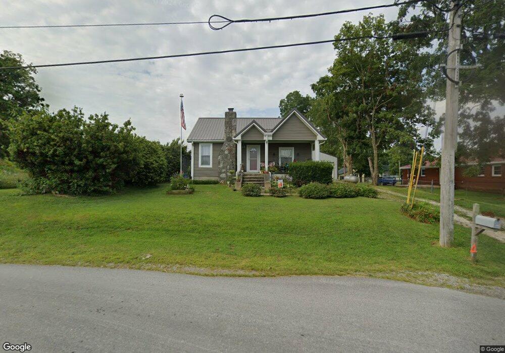
544 Main St Unit CE Cerulean, KY 42215
Estimated Value: $71,000 - $221,000
2
Beds
1
Bath
1,080
Sq Ft
$114/Sq Ft
Est. Value
About This Home
This home is located at 544 Main St Unit CE, Cerulean, KY 42215 and is currently estimated at $123,638, approximately $114 per square foot. 544 Main St Unit CE is a home located in Trigg County with nearby schools including Trigg County Primary School, Trigg County Intermediate School, and Trigg County Middle School.
Ownership History
Date
Name
Owned For
Owner Type
Purchase Details
Closed on
Jun 30, 2010
Sold by
Lancaster Wilton H
Bought by
Boyd Ricki J
Current Estimated Value
Home Financials for this Owner
Home Financials are based on the most recent Mortgage that was taken out on this home.
Original Mortgage
$32,720
Interest Rate
4.5%
Mortgage Type
FHA
Purchase Details
Closed on
Mar 16, 2009
Sold by
Keller Martana J and Keller Brent
Bought by
Lancaster Wilton H and Lancaster Sara Frances
Create a Home Valuation Report for This Property
The Home Valuation Report is an in-depth analysis detailing your home's value as well as a comparison with similar homes in the area
Home Values in the Area
Average Home Value in this Area
Purchase History
| Date | Buyer | Sale Price | Title Company |
|---|---|---|---|
| Boyd Ricki J | $45,000 | None Available | |
| Lancaster Wilton H | $15,000 | None Available |
Source: Public Records
Mortgage History
| Date | Status | Borrower | Loan Amount |
|---|---|---|---|
| Closed | Boyd Ricki J | $32,720 |
Source: Public Records
Tax History Compared to Growth
Tax History
| Year | Tax Paid | Tax Assessment Tax Assessment Total Assessment is a certain percentage of the fair market value that is determined by local assessors to be the total taxable value of land and additions on the property. | Land | Improvement |
|---|---|---|---|---|
| 2024 | $30 | $45,000 | $0 | $0 |
| 2023 | $30 | $45,000 | $0 | $0 |
| 2022 | $74 | $45,000 | $0 | $0 |
| 2021 | $75 | $45,000 | $0 | $0 |
| 2020 | $87 | $45,000 | $0 | $0 |
| 2019 | $87 | $45,000 | $0 | $0 |
| 2018 | $470 | $45,000 | $0 | $0 |
| 2017 | $414 | $45,000 | $0 | $0 |
| 2016 | $404 | $0 | $0 | $0 |
| 2015 | $403 | $0 | $0 | $0 |
| 2010 | $277 | $0 | $0 | $0 |
Source: Public Records
Map
Nearby Homes
- 1380 Cerulean Princeton Rd
- 8840 N 8840 Princeton Rd
- 357 Tucker Ln
- 545 Quisenberry Ln
- 2087 Kings Chapel Rd
- 3935 Harmony Grove Rd
- 0 Princeton Rd
- 5061 Dawson Springs Rd
- 10A Candy Dr
- 310 Chasity Dr Unit 310 Chasity Drive
- 500 Block East Noel
- 87 Glendale Dr
- 89 Sherry St
- 288 Westend St
- 74 Wharton Rd
- 16415 Dawson Springs Rd
- 307 Lafayette St
- 301 Main St
- 52 Sequoyah Trail
- Lot 52 Sequoyah Trail
- 521 Main St Unit CE
- 517 Main St
- 430 Main St
- 541 Main St Unit CE
- 198 Cave Spring St
- 433 Main St Unit CE
- 615 Main St Unit CE
- 339 Washington Ave
- 425 Main St
- 323 Washington Ave
- 633 Main St Unit CE
- 342 Washington Ave
- 151 Turner Rawls St
- 316 Washington Ave
- 641 Main St Unit CE
- 351 Main St
- 306 Washington Ave
- 260 Washington Ave
- 342 Main St
- 125 Hopkinsville St