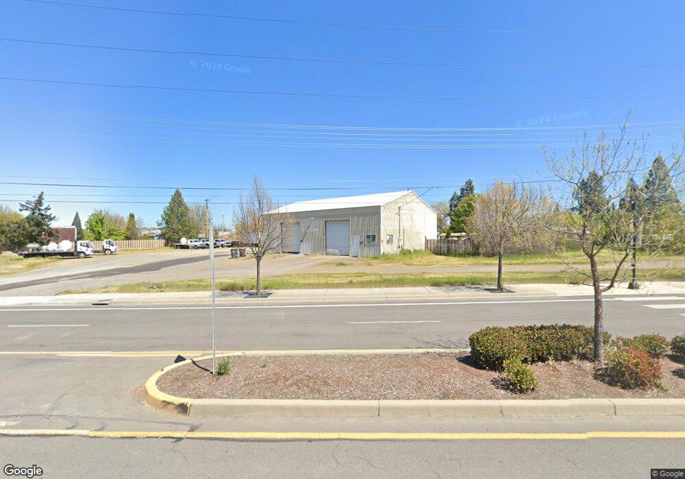
544 N Front St Central Point, OR 97502
Estimated Value: $510,048
--
Bed
--
Bath
3,392
Sq Ft
$150/Sq Ft
Est. Value
About This Home
This home is located at 544 N Front St, Central Point, OR 97502 and is currently estimated at $510,048, approximately $150 per square foot. 544 N Front St is a home located in Jackson County with nearby schools including Jewett Elementary School, Scenic Middle School, and Crater High School.
Ownership History
Date
Name
Owned For
Owner Type
Purchase Details
Closed on
Nov 3, 2005
Sold by
Mccleary Andrew J
Bought by
Walters Denny D and Walters Angela J
Current Estimated Value
Home Financials for this Owner
Home Financials are based on the most recent Mortgage that was taken out on this home.
Original Mortgage
$262,500
Interest Rate
5.74%
Mortgage Type
Commercial
Create a Home Valuation Report for This Property
The Home Valuation Report is an in-depth analysis detailing your home's value as well as a comparison with similar homes in the area
Home Values in the Area
Average Home Value in this Area
Purchase History
| Date | Buyer | Sale Price | Title Company |
|---|---|---|---|
| Walters Denny D | $350,000 | First American |
Source: Public Records
Mortgage History
| Date | Status | Borrower | Loan Amount |
|---|---|---|---|
| Closed | Walters Denny D | $262,500 |
Source: Public Records
Tax History Compared to Growth
Tax History
| Year | Tax Paid | Tax Assessment Tax Assessment Total Assessment is a certain percentage of the fair market value that is determined by local assessors to be the total taxable value of land and additions on the property. | Land | Improvement |
|---|---|---|---|---|
| 2025 | $3,706 | $222,930 | $165,490 | $57,440 |
| 2024 | $3,706 | $216,440 | $160,670 | $55,770 |
| 2023 | $3,587 | $210,140 | $155,990 | $54,150 |
| 2022 | $3,503 | $210,140 | $155,990 | $54,150 |
| 2021 | $3,403 | $204,020 | $151,450 | $52,570 |
| 2020 | $3,304 | $198,080 | $147,040 | $51,040 |
| 2019 | $3,223 | $186,720 | $138,610 | $48,110 |
| 2018 | $3,125 | $181,290 | $134,580 | $46,710 |
| 2017 | $3,046 | $181,290 | $134,580 | $46,710 |
| 2016 | $2,957 | $170,890 | $126,860 | $44,030 |
| 2015 | $2,833 | $170,890 | $126,860 | $44,030 |
| 2014 | $2,761 | $161,090 | $138,170 | $22,920 |
Source: Public Records
Map
Nearby Homes
- 342 Hazel St
- 55 Crater Ln
- 431 N 5th St
- 626 Griffin Oaks Dr
- 619 Palo Verde Way
- 905 Comet Ave
- 144 N 5th St
- 546 Laurel St
- 1010 N 3rd St
- 741 Hazel St
- 407 Silver Creek Dr
- 4626 N Pacific Hwy
- 833 Hazel St
- 405 N 9th St
- 1167 Boulder Ridge St
- 920 N 10th St
- 349 W Pine St
- 845 Manzanita St
- 350 Alder St
- 1159 Rustler Peak St