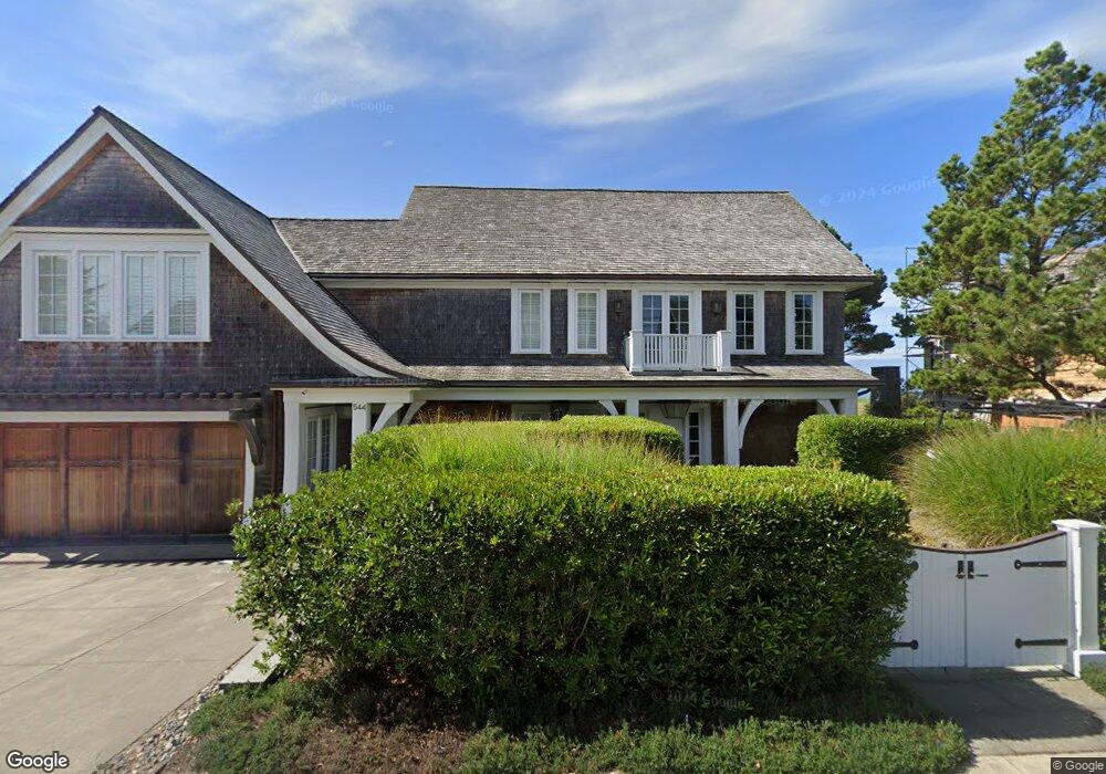
544 S Ocean Ave Seaside, OR 97138
Estimated Value: $3,489,067 - $4,589,000
8
Beds
5
Baths
5,064
Sq Ft
$762/Sq Ft
Est. Value
About This Home
This home is located at 544 S Ocean Ave, Seaside, OR 97138 and is currently estimated at $3,860,689, approximately $762 per square foot. 544 S Ocean Ave is a home located in Clatsop County with nearby schools including Seaside High School.
Ownership History
Date
Name
Owned For
Owner Type
Purchase Details
Closed on
Jan 14, 2013
Sold by
Hering Family Gearhart Llc
Bought by
Maletis Robert A and Maletis Linda B
Current Estimated Value
Home Financials for this Owner
Home Financials are based on the most recent Mortgage that was taken out on this home.
Original Mortgage
$1,198,750
Outstanding Balance
$829,586
Interest Rate
3.27%
Mortgage Type
New Conventional
Estimated Equity
$3,031,103
Purchase Details
Closed on
Jul 10, 2006
Sold by
Hering John Blake
Bought by
Hering Family Gearhart Llc
Purchase Details
Closed on
Jul 4, 2006
Sold by
Hering Linda Maureen Okeefe
Bought by
Hering Family Gearhart Llc
Purchase Details
Closed on
Jul 2, 2006
Sold by
Ellis Hillary Alexandra
Bought by
Hering Family Gearhart Llc
Create a Home Valuation Report for This Property
The Home Valuation Report is an in-depth analysis detailing your home's value as well as a comparison with similar homes in the area
Home Values in the Area
Average Home Value in this Area
Purchase History
| Date | Buyer | Sale Price | Title Company |
|---|---|---|---|
| Maletis Robert A | $1,712,500 | Ticor Title Ins Co | |
| Hering Family Gearhart Llc | -- | None Available | |
| Hering Family Gearhart Llc | -- | None Available | |
| Hering Family Gearhart Llc | -- | None Available | |
| Hering Family Gearhart Llc | -- | None Available | |
| Hering Family Gearhart Llc | -- | None Available | |
| Hering Family Gearhart Llc | -- | None Available | |
| Hering Family Gearhart Llc | -- | None Available | |
| Hering Family Gearhart Llc | -- | None Available |
Source: Public Records
Mortgage History
| Date | Status | Borrower | Loan Amount |
|---|---|---|---|
| Open | Maletis Robert A | $1,198,750 |
Source: Public Records
Tax History Compared to Growth
Tax History
| Year | Tax Paid | Tax Assessment Tax Assessment Total Assessment is a certain percentage of the fair market value that is determined by local assessors to be the total taxable value of land and additions on the property. | Land | Improvement |
|---|---|---|---|---|
| 2024 | $28,716 | $2,510,862 | -- | -- |
| 2023 | $27,913 | $2,437,731 | $0 | $0 |
| 2022 | $27,076 | $2,366,730 | $0 | $0 |
| 2021 | $27,639 | $2,297,797 | $0 | $0 |
| 2020 | $26,660 | $2,230,872 | $0 | $0 |
| 2019 | $25,975 | $2,165,896 | $0 | $0 |
| 2018 | $15,443 | $1,398,475 | $0 | $0 |
| 2017 | $14,419 | $1,276,394 | $0 | $0 |
| 2016 | $13,162 | $1,239,218 | $925,573 | $313,645 |
| 2015 | $12,729 | $1,203,125 | $898,615 | $304,510 |
| 2014 | $12,100 | $1,168,083 | $0 | $0 |
| 2013 | -- | $1,134,063 | $0 | $0 |
Source: Public Records
Map
Nearby Homes
- 0 Wellington Ave Unit 25-48
- 0 Wellington Ave Unit 1202
- 924 Little Beach Dr
- 1265 D St
- 1396 N Ocean Ave
- 196 Dylan Ct
- 782 Woodland Ct
- 415 Spruce Ave
- Lots 25-26 5th St
- 2624 Neawanna St
- 766 Neacoxie Blvd
- 2549 Neawanna St
- 856 Neacoxie Blvd
- 856 Neacoxie Blvd Unit 311
- 0 5th St
- 714 7th St
- 3387-3389 U S 101
- 3389 U S 101
- 101 13th St Unit 209
- 000 Neawanna St
- 502 S Ocean Ave
- 594 S Ocean Ave
- 541 S Ocean Ave
- 591 S Ocean Ave
- 523 S Ocean Ave
- 201 E St
- 225 Avenue E
- 652 Ocean
- 265 E St
- 265 G St
- 594 S Marion Ave Unit 1
- 624 S Marion Ave
- 614 S Marion Ave Unit 1
- 618 S Marion Ave
- 594 Marion Ave
- 461 S Ocean Ave
- 671 S Ocean Ave
- 266 E St
- 634 S Marion Ave
- 694 S Ocean Ave