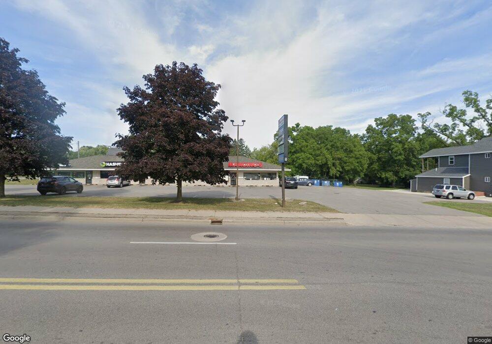
544 S State St Unit 544-5 Big Rapids, MI 49307
Estimated Value: $1,127,554
--
Bed
--
Bath
5,200
Sq Ft
$217/Sq Ft
Est. Value
About This Home
This home is located at 544 S State St Unit 544-5, Big Rapids, MI 49307 and is currently estimated at $1,127,554, approximately $216 per square foot. 544 S State St Unit 544-5 is a home located in Mecosta County with nearby schools including Big Rapids High School, Crossroads Charter Academy Elementary School, and Crossroads Charter Academy Middle/High School.
Ownership History
Date
Name
Owned For
Owner Type
Purchase Details
Closed on
Jan 11, 2017
Sold by
K & R Enterprises Llc
Bought by
Gold Star Inc
Current Estimated Value
Home Financials for this Owner
Home Financials are based on the most recent Mortgage that was taken out on this home.
Original Mortgage
$303,435
Outstanding Balance
$250,129
Interest Rate
4.13%
Mortgage Type
Future Advance Clause Open End Mortgage
Estimated Equity
$877,425
Create a Home Valuation Report for This Property
The Home Valuation Report is an in-depth analysis detailing your home's value as well as a comparison with similar homes in the area
Home Values in the Area
Average Home Value in this Area
Purchase History
| Date | Buyer | Sale Price | Title Company |
|---|---|---|---|
| Gold Star Inc | -- | Best Homes Title | |
| K & R Enterprises Llc | $529,100 | Best Homes Title |
Source: Public Records
Mortgage History
| Date | Status | Borrower | Loan Amount |
|---|---|---|---|
| Open | Gold Star Inc | $303,435 |
Source: Public Records
Tax History Compared to Growth
Tax History
| Year | Tax Paid | Tax Assessment Tax Assessment Total Assessment is a certain percentage of the fair market value that is determined by local assessors to be the total taxable value of land and additions on the property. | Land | Improvement |
|---|---|---|---|---|
| 2025 | $14,223 | $332,600 | $0 | $0 |
| 2024 | -- | $271,500 | $0 | $0 |
| 2023 | -- | $268,800 | $0 | $0 |
| 2022 | $13,638 | $243,100 | $0 | $0 |
| 2021 | $13,638 | $227,000 | $0 | $0 |
| 2020 | -- | -- | $0 | $0 |
| 2019 | -- | -- | $0 | $0 |
| 2018 | -- | -- | $0 | $0 |
| 2017 | -- | -- | $0 | $0 |
| 2016 | -- | -- | $0 | $0 |
| 2014 | -- | -- | $0 | $0 |
| 2013 | -- | -- | $0 | $0 |
Source: Public Records
Map
Nearby Homes