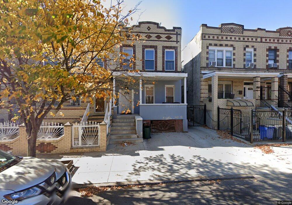
544 Snediker Ave Brooklyn, NY 11207
Brownsville NeighborhoodEstimated Value: $876,760 - $1,041,000
--
Bed
--
Bath
2,080
Sq Ft
$462/Sq Ft
Est. Value
About This Home
This home is located at 544 Snediker Ave, Brooklyn, NY 11207 and is currently estimated at $959,940, approximately $461 per square foot. 544 Snediker Ave is a home located in Kings County with nearby schools including P.S. 190 - Sheffield, Achievement First - East New York School, and Hyde Leadership Charter School-Brooklyn.
Ownership History
Date
Name
Owned For
Owner Type
Purchase Details
Closed on
Mar 22, 2011
Sold by
South Homes Inc
Bought by
Olaniran Abraham and Olaniran Ruth
Current Estimated Value
Home Financials for this Owner
Home Financials are based on the most recent Mortgage that was taken out on this home.
Original Mortgage
$443,465
Outstanding Balance
$307,560
Interest Rate
4.99%
Mortgage Type
Purchase Money Mortgage
Estimated Equity
$652,380
Purchase Details
Closed on
Aug 12, 2010
Sold by
Stein Bruce L
Bought by
South Homes Inc
Create a Home Valuation Report for This Property
The Home Valuation Report is an in-depth analysis detailing your home's value as well as a comparison with similar homes in the area
Home Values in the Area
Average Home Value in this Area
Purchase History
| Date | Buyer | Sale Price | Title Company |
|---|---|---|---|
| Olaniran Abraham | $455,000 | -- | |
| South Homes Inc | $190,000 | -- |
Source: Public Records
Mortgage History
| Date | Status | Borrower | Loan Amount |
|---|---|---|---|
| Open | Olaniran Abraham | $443,465 |
Source: Public Records
Tax History Compared to Growth
Tax History
| Year | Tax Paid | Tax Assessment Tax Assessment Total Assessment is a certain percentage of the fair market value that is determined by local assessors to be the total taxable value of land and additions on the property. | Land | Improvement |
|---|---|---|---|---|
| 2025 | $3,378 | $48,420 | $19,440 | $28,980 |
| 2024 | $3,378 | $51,960 | $19,440 | $32,520 |
| 2023 | $3,223 | $55,140 | $19,440 | $35,700 |
| 2022 | $2,989 | $44,580 | $19,440 | $25,140 |
| 2021 | $2,972 | $44,460 | $19,440 | $25,020 |
| 2020 | $1,478 | $34,860 | $19,440 | $15,420 |
| 2019 | $2,932 | $34,860 | $19,440 | $15,420 |
| 2018 | $2,696 | $13,224 | $6,531 | $6,693 |
| 2017 | $2,543 | $12,476 | $7,390 | $5,086 |
| 2016 | $2,353 | $11,770 | $6,609 | $5,161 |
| 2015 | $1,542 | $11,770 | $7,390 | $4,380 |
| 2014 | $1,542 | $11,695 | $6,791 | $4,904 |
Source: Public Records
Map
Nearby Homes
- 442 Newport St
- 533 Snediker Ave
- 584 Hinsdale St
- 541 Hinsdale St
- 578 Williams Ave
- 582 Williams Ave
- 576 Williams Ave
- 589 Hinsdale St
- 563 Powell St
- 606 Alabama Ave
- 610 Alabama Ave
- 650 Williams Ave
- 546 Powell St
- 660 Williams Ave Unit 142
- 699 Sackman St
- 1753 Linden Blvd
- 1755 Linden Blvd
- 406 Hinsdale St
- 555 Christopher Ave
- 797 Mother Gaston Blvd
- 546 Snediker Ave
- 540 Snediker Ave
- 550 Snediker Ave
- 538 Snediker Ave
- 552 Snediker Ave
- 536 Snediker Ave
- 554 Snediker Ave
- 532 Snediker Ave
- 601 van Sinderen Ave
- 558 Snediker Ave
- 530 Snediker Ave
- 537 Snediker Ave
- 528 Snediker Ave
- 541 Snediker Ave
- 545 Snediker Ave
- 524 Snediker Ave
- 524 Snediker Ave Unit 3
- 547 Snediker Ave
- 539 Snediker Ave
- 551 Snediker Ave