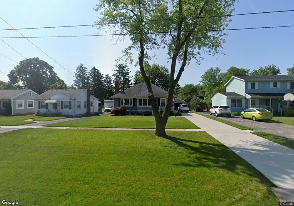
544 W 7th St Perrysburg, OH 43551
Estimated Value: $180,000 - $222,000
3
Beds
1
Bath
1,118
Sq Ft
$181/Sq Ft
Est. Value
About This Home
This home is located at 544 W 7th St, Perrysburg, OH 43551 and is currently estimated at $202,459, approximately $181 per square foot. 544 W 7th St is a home located in Wood County with nearby schools including Frank Elementary School, Perrysburg Junior High School, and Perrysburg High School.
Ownership History
Date
Name
Owned For
Owner Type
Purchase Details
Closed on
May 12, 2021
Sold by
Barnard Carl A and Barnard Judith Ann
Bought by
Bell Ruby A
Current Estimated Value
Purchase Details
Closed on
Jul 23, 2019
Sold by
Trustee Judith
Bought by
Barnard Carl A and Barnard Judith Ann
Purchase Details
Closed on
Aug 1, 2018
Sold by
Toland Donald L
Bought by
Barnard Judith Ann
Purchase Details
Closed on
Oct 13, 2006
Sold by
Estate Of Wanda E Toland
Bought by
Toland Donald L
Purchase Details
Closed on
Jan 1, 1990
Bought by
Toland Donald L
Create a Home Valuation Report for This Property
The Home Valuation Report is an in-depth analysis detailing your home's value as well as a comparison with similar homes in the area
Home Values in the Area
Average Home Value in this Area
Purchase History
| Date | Buyer | Sale Price | Title Company |
|---|---|---|---|
| Bell Ruby A | $138,000 | None Available | |
| Barnard Carl A | -- | None Available | |
| Barnard Judith Ann | $85,000 | None Available | |
| Toland Donald L | -- | American Title Agency | |
| Toland Donald L | -- | -- |
Source: Public Records
Tax History Compared to Growth
Tax History
| Year | Tax Paid | Tax Assessment Tax Assessment Total Assessment is a certain percentage of the fair market value that is determined by local assessors to be the total taxable value of land and additions on the property. | Land | Improvement |
|---|---|---|---|---|
| 2024 | $3,578 | $49,665 | $12,775 | $36,890 |
| 2023 | $3,578 | $49,670 | $12,780 | $36,890 |
| 2022 | $3,382 | $41,380 | $11,030 | $30,350 |
| 2021 | $2,820 | $41,380 | $11,030 | $30,350 |
| 2020 | $2,841 | $41,380 | $11,030 | $30,350 |
| 2019 | $2,583 | $35,920 | $11,030 | $24,890 |
| 2018 | $2,417 | $35,920 | $11,030 | $24,890 |
| 2017 | $685 | $35,920 | $11,030 | $24,890 |
| 2016 | $1,332 | $31,120 | $11,030 | $20,090 |
| 2015 | $1,370 | $31,120 | $11,030 | $20,090 |
| 2014 | $1,344 | $31,120 | $11,030 | $20,090 |
| 2013 | $688 | $31,120 | $11,030 | $20,090 |
Source: Public Records
Map
Nearby Homes
- 621 W Boundary St
- 865 Mulberry St
- 872 Cherry St
- 204 W 8th St
- 454 S Ridge Dr
- 1016 Walnut St
- 412 W South Boundary St
- 122 W 6th St
- 505 Boody Ct
- 664 Little Creek Dr
- 528 Elm St
- 471 Rutledge Ct
- 208 E Indiana Ave
- 1085 Birch Dr
- 314 E 2nd St
- 11966 Eckel Junction Rd
- 338 E 2nd St
- 26802 Fort Meigs Rd
- 622 Turnbury Ln Unit 622
- 135 Birchcrest Dr