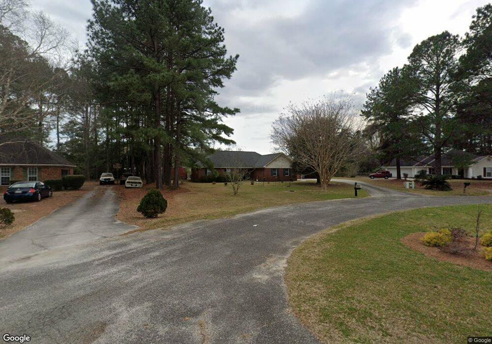
544 Whistlestop Cir Statesboro, GA 30461
Estimated Value: $262,111 - $320,000
3
Beds
2
Baths
1,588
Sq Ft
$177/Sq Ft
Est. Value
About This Home
This home is located at 544 Whistlestop Cir, Statesboro, GA 30461 and is currently estimated at $281,778, approximately $177 per square foot. 544 Whistlestop Cir is a home located in Bulloch County with nearby schools including Sallie Zetterower Elementary School, Statesboro High School, and Langston Chapel Middle School.
Ownership History
Date
Name
Owned For
Owner Type
Purchase Details
Closed on
Jul 29, 2021
Sold by
Hurst Lorri C
Bought by
Hurst Lorri C and Hurst Michael
Current Estimated Value
Home Financials for this Owner
Home Financials are based on the most recent Mortgage that was taken out on this home.
Original Mortgage
$104,300
Outstanding Balance
$91,505
Interest Rate
2.9%
Mortgage Type
New Conventional
Estimated Equity
$190,273
Purchase Details
Closed on
Apr 1, 1995
Bought by
Hurst Lorri C
Create a Home Valuation Report for This Property
The Home Valuation Report is an in-depth analysis detailing your home's value as well as a comparison with similar homes in the area
Home Values in the Area
Average Home Value in this Area
Purchase History
| Date | Buyer | Sale Price | Title Company |
|---|---|---|---|
| Hurst Lorri C | -- | -- | |
| Hurst Lorri C | -- | -- |
Source: Public Records
Mortgage History
| Date | Status | Borrower | Loan Amount |
|---|---|---|---|
| Open | Hurst Lorri C | $104,300 |
Source: Public Records
Tax History Compared to Growth
Tax History
| Year | Tax Paid | Tax Assessment Tax Assessment Total Assessment is a certain percentage of the fair market value that is determined by local assessors to be the total taxable value of land and additions on the property. | Land | Improvement |
|---|---|---|---|---|
| 2024 | $1,710 | $77,420 | $14,000 | $63,420 |
| 2023 | $1,732 | $72,068 | $10,000 | $62,068 |
| 2022 | $1,374 | $62,666 | $9,320 | $53,346 |
| 2021 | $1,293 | $57,759 | $9,320 | $48,439 |
| 2020 | $1,265 | $56,048 | $9,320 | $46,728 |
| 2019 | $1,274 | $56,189 | $9,280 | $46,909 |
| 2018 | $1,199 | $51,066 | $9,280 | $41,786 |
| 2017 | $1,161 | $48,932 | $9,280 | $39,652 |
| 2016 | $1,160 | $47,787 | $9,280 | $38,507 |
| 2015 | $1,113 | $46,151 | $9,280 | $36,871 |
| 2014 | $1,042 | $46,151 | $9,280 | $36,871 |
Source: Public Records
Map
Nearby Homes
- 252 Hagin Ln
- 114 Lincoln St
- 314 Longwood Dr
- 106 Lincoln St
- 406 Jacob Ct
- 402 Jacob Ct
- 401 Jacob Ct
- 4026 Denton Loop
- 0 George Moore Rd Unit SA333925
- 0 George Moore Rd Unit 10559523
- 117 Circle Dr
- 207 N Jackson Rd
- 1016 Johnson Dr
- 2.055 ACRES S and S Railroad Bed Rd
- 6302 C T Place
- 239 Circle Dr
- 1139 Bartlett Dr
- 302 Providence Trace
- 302 Providence Trc
- 1143 Bartlett Dr
- 542 Whistlestop Cir
- 546 Whistlestop Cir
- 540 Whistlestop Cir
- 548 Whistlestop Cir
- 1140 Trellis Ct
- 529 Whistlestop Cir
- 1141 Trellis Ct
- 538 Whistlestop Cir
- 1230 Lattice Ct
- 527 Whistlestop Cir
- 505 Whistlestop Cir
- 8828 Burkhalter Rd
- 1120 Trellis Ct
- 536 Whistlestop Cir
- 500 Whistlestop Cir
- 525 Whistlestop Cir
- 525 Whistlestop Cir Unit 36
- 1080 Picket Fence Dr
- 507 Whistlestop Cir
- 1068 Picket Fence Dr