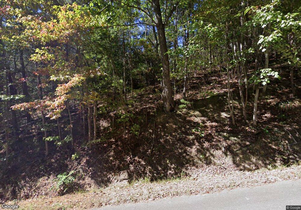
5440 Blair Shugart Rd Cohutta, GA 30710
Estimated Value: $135,000 - $201,000
--
Bed
1
Bath
1,200
Sq Ft
$141/Sq Ft
Est. Value
About This Home
This home is located at 5440 Blair Shugart Rd, Cohutta, GA 30710 and is currently estimated at $168,859, approximately $140 per square foot. 5440 Blair Shugart Rd is a home located in Whitfield County with nearby schools including Cohutta Elementary School and Coahulla Creek High School.
Ownership History
Date
Name
Owned For
Owner Type
Purchase Details
Closed on
May 22, 2008
Sold by
Not Provided
Bought by
Jones Michael L
Current Estimated Value
Home Financials for this Owner
Home Financials are based on the most recent Mortgage that was taken out on this home.
Original Mortgage
$75,480
Outstanding Balance
$48,100
Interest Rate
6%
Mortgage Type
New Conventional
Estimated Equity
$120,759
Purchase Details
Closed on
Sep 7, 2007
Sold by
Not Provided
Bought by
Jones Michael L
Purchase Details
Closed on
Dec 29, 2006
Sold by
Not Provided
Bought by
Jones Michael L
Purchase Details
Closed on
Oct 17, 2001
Sold by
Maddron Wayne
Bought by
Stennett Darryl E
Create a Home Valuation Report for This Property
The Home Valuation Report is an in-depth analysis detailing your home's value as well as a comparison with similar homes in the area
Home Values in the Area
Average Home Value in this Area
Purchase History
| Date | Buyer | Sale Price | Title Company |
|---|---|---|---|
| Jones Michael L | $79,000 | -- | |
| Jones Michael L | -- | -- | |
| Jones Linda | $25,900 | -- | |
| Jones Michael L | $48,916 | -- | |
| Stennett Darryl E | $145,000 | -- |
Source: Public Records
Mortgage History
| Date | Status | Borrower | Loan Amount |
|---|---|---|---|
| Open | Jones Michael L | $75,480 |
Source: Public Records
Tax History Compared to Growth
Tax History
| Year | Tax Paid | Tax Assessment Tax Assessment Total Assessment is a certain percentage of the fair market value that is determined by local assessors to be the total taxable value of land and additions on the property. | Land | Improvement |
|---|---|---|---|---|
| 2024 | $424 | $54,256 | $10,072 | $44,184 |
| 2023 | $424 | $21,118 | $6,446 | $14,672 |
| 2022 | $302 | $18,088 | $6,325 | $11,763 |
| 2021 | $302 | $18,088 | $6,325 | $11,763 |
| 2020 | $302 | $18,088 | $6,325 | $11,763 |
| 2019 | $302 | $18,088 | $6,325 | $11,763 |
| 2018 | $279 | $16,878 | $5,115 | $11,763 |
| 2017 | $279 | $16,878 | $5,115 | $11,763 |
| 2016 | $259 | $15,813 | $5,115 | $10,698 |
| 2014 | $291 | $17,459 | $6,760 | $10,698 |
| 2013 | -- | $17,458 | $6,760 | $10,698 |
Source: Public Records
Map
Nearby Homes
- 5410 Cleveland Hwy
- 5219 Apison Rd
- 223 Old Lead Mine Valley Rd SW
- 508 Chattanooga Rd
- 139 Quill Gordon Way
- 325 Broken Arrow Ln SW
- Tract 4 Old Dalton Cleveland Hwy
- Tract 3 Old Dalton Cleveland Hwy
- Tract 7 Old Dalton Cleveland Hwy
- Tract 2 Old Dalton Cleveland Hwy Unit 10
- Tract 5 Old Dalton Cleveland Hwy
- Tract 1F Cleveland Hwy Unit 1A
- Tract 1B Cleveland Hwy Unit 1A
- Tract 1D Cleveland Hwy Unit 1A
- Tract 1E Cleveland Hwy Unit 1A
- Tract 1C Cleveland Hwy Unit 1A
- Tract 1A Cleveland Hwy Unit 1A
- 0 Cohutta Beaverdale Rd Unit 7613466
- 0 Cohutta Beaverdale Rd Unit 10560778
- 0 Cohutta Beaverdale Rd
- 5431 Blair Shugart Rd
- 5423 Blair Shugart Rd
- 5422 Blair Shugart Rd
- 5507 Red Clay Rd
- 326 Old Apison Rd
- 326 Old Apison Rd Unit Pt Tr 2
- 5433 Red Clay Rd
- 5537 Red Clay Rd
- 5511 Red Clay Rd
- 5445 Red Clay Rd
- 320 Old Apison Rd
- 0 Old Apison Rd
- 5478 Red Clay Rd
- 5519 Red Clay Rd
- 5533 Red Clay Rd
- 420 Old Apison Rd
- 307 Old Apison Rd
- 335 Old Apison Rd
- 193 Old Apison Rd
- 325 Old Apison Rd
