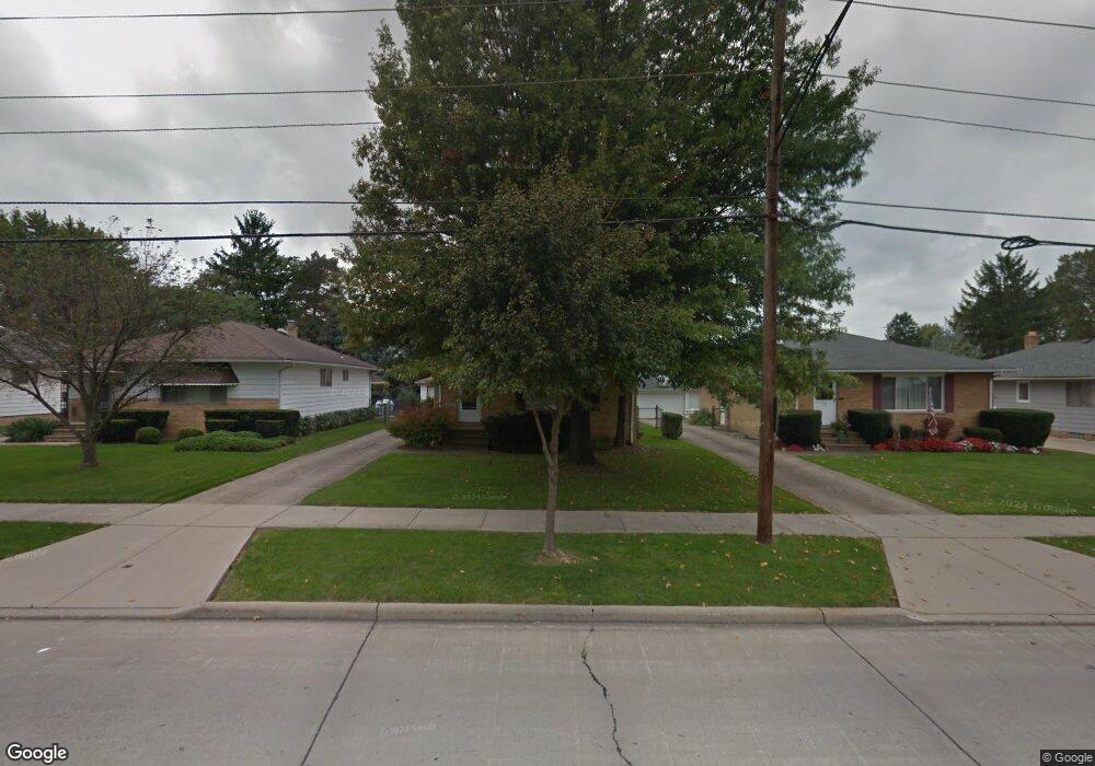
5444 E 141st St Maple Heights, OH 44137
Estimated Value: $145,000 - $157,000
3
Beds
1
Bath
1,176
Sq Ft
$128/Sq Ft
Est. Value
About This Home
This home is located at 5444 E 141st St, Maple Heights, OH 44137 and is currently estimated at $151,059, approximately $128 per square foot. 5444 E 141st St is a home located in Cuyahoga County with nearby schools including Abraham Lincoln Elementary School, Rockside/ J.F. Kennedy School, and Barack Obama School.
Ownership History
Date
Name
Owned For
Owner Type
Purchase Details
Closed on
Jul 17, 2024
Sold by
Solinsky Cynthia A
Bought by
Solinsky Cynthia A and Ferguson Nancy E
Current Estimated Value
Purchase Details
Closed on
Oct 30, 1986
Sold by
Klik Jerry J
Bought by
Solinsky Cynthia A
Purchase Details
Closed on
Jul 15, 1976
Sold by
Presby Lawrence J and Presby Karen A
Bought by
Klik Jerry J
Purchase Details
Closed on
Jan 1, 1975
Bought by
Presby Lawrence J and Presby Karen A
Create a Home Valuation Report for This Property
The Home Valuation Report is an in-depth analysis detailing your home's value as well as a comparison with similar homes in the area
Home Values in the Area
Average Home Value in this Area
Purchase History
| Date | Buyer | Sale Price | Title Company |
|---|---|---|---|
| Solinsky Cynthia A | -- | None Listed On Document | |
| Solinsky Cynthia A | $62,000 | -- | |
| Klik Jerry J | $42,000 | -- | |
| Presby Lawrence J | -- | -- |
Source: Public Records
Tax History
| Year | Tax Paid | Tax Assessment Tax Assessment Total Assessment is a certain percentage of the fair market value that is determined by local assessors to be the total taxable value of land and additions on the property. | Land | Improvement |
|---|---|---|---|---|
| 2024 | $3,470 | $49,630 | $8,050 | $41,580 |
| 2023 | $2,403 | $32,620 | $5,950 | $26,670 |
| 2022 | $2,432 | $32,620 | $5,950 | $26,670 |
| 2021 | $2,599 | $32,620 | $5,950 | $26,670 |
| 2020 | $1,981 | $24,710 | $4,520 | $20,200 |
| 2019 | $1,967 | $70,600 | $12,900 | $57,700 |
| 2018 | $1,902 | $24,710 | $4,520 | $20,200 |
| 2017 | $1,982 | $24,610 | $4,060 | $20,550 |
| 2016 | $1,912 | $24,610 | $4,060 | $20,550 |
| 2015 | $1,855 | $24,610 | $4,060 | $20,550 |
| 2014 | $1,855 | $25,380 | $4,200 | $21,180 |
Source: Public Records
Map
Nearby Homes
- 13719 Wolf Ave
- 13704 Linn Ave
- 5408 Roland Dr
- 13917 Maple Leaf Dr
- 13616 Oakview Blvd
- 13206 Shady Oak Blvd
- 14512 Granger Rd
- 14510 Granger Rd
- 13508 Oakview Blvd
- 14305 Granger Rd
- 13116 Oak Park Blvd
- 13905 Thraves Ave
- 5179 Milo Ave
- 14818 Reddington Ave
- 13008 Willard Ave
- 15095 Granger Rd
- 13109 Oakview Blvd
- 14404 Tokay Ave
- 13009 Willard Ave
- 14203 Tabor Ave
- 5448 E 141st St
- 5440 E 141st St
- 5436 E 141st St
- 5452 E 141st St
- 13918 Wolf Ave
- 5432 E 141st St
- 13916 Wolf Ave
- 5456 E 141st St
- 5445 E 141st St
- 5449 E 141st St
- 5428 E 141st St
- 5441 E 141st St
- 13914 Wolf Ave
- 5453 E 141st St
- 5460 E 141st St
- 13919 Wolf Ave
- 5437 E 141st St
- 5424 E 141st St
- 5433 E 141st St
- 13917 Wolf Ave
Your Personal Tour Guide
Ask me questions while you tour the home.