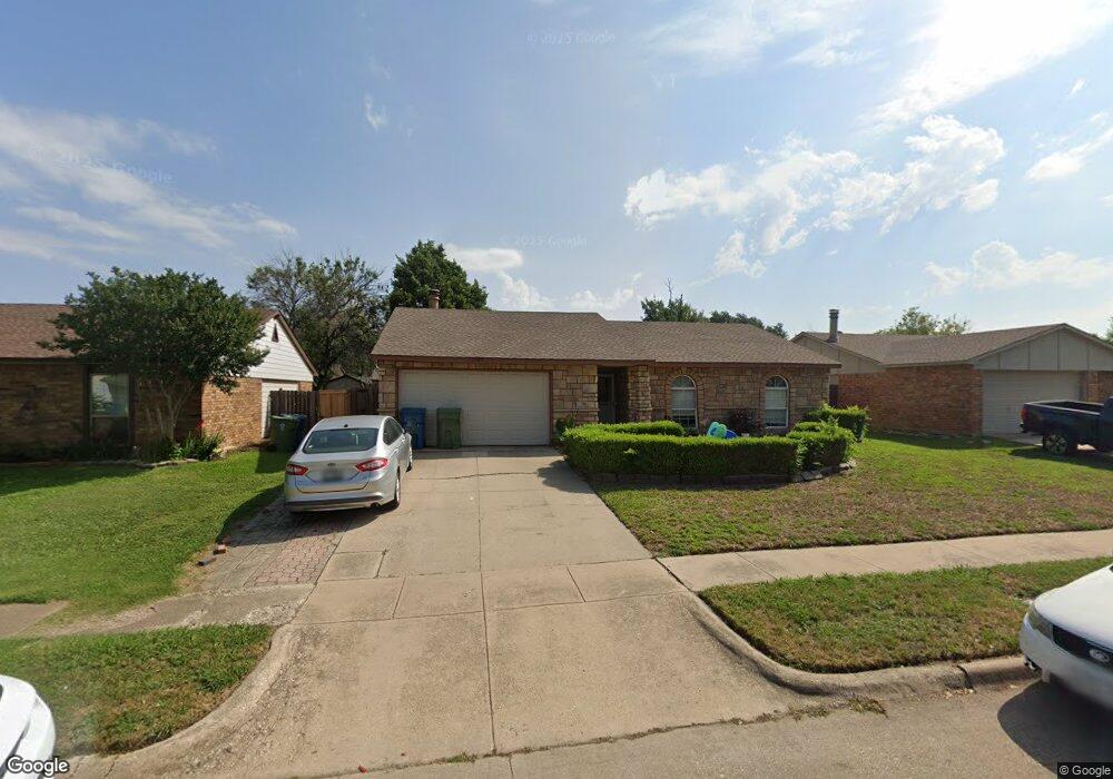
5445 Slay Dr the Colony, TX 75056
Estimated Value: $300,384 - $340,000
3
Beds
2
Baths
1,379
Sq Ft
$232/Sq Ft
Est. Value
About This Home
This home is located at 5445 Slay Dr, the Colony, TX 75056 and is currently estimated at $319,846, approximately $231 per square foot. 5445 Slay Dr is a home located in Denton County with nearby schools including Peters Colony Elementary School, Griffin Middle School, and The Colony High School.
Ownership History
Date
Name
Owned For
Owner Type
Purchase Details
Closed on
Mar 31, 2017
Sold by
Fulton Donald G and Fulton Amber J
Bought by
The Donald G Fulton And Amber J Fulton R
Current Estimated Value
Home Financials for this Owner
Home Financials are based on the most recent Mortgage that was taken out on this home.
Original Mortgage
$156,000
Outstanding Balance
$129,075
Interest Rate
4.09%
Mortgage Type
New Conventional
Estimated Equity
$190,771
Purchase Details
Closed on
Mar 2, 2017
Sold by
Garcia Fernando and Garcia Sandra
Bought by
Fulton Amber J and Fulton Donald G
Home Financials for this Owner
Home Financials are based on the most recent Mortgage that was taken out on this home.
Original Mortgage
$156,000
Outstanding Balance
$129,075
Interest Rate
4.09%
Mortgage Type
New Conventional
Estimated Equity
$190,771
Purchase Details
Closed on
Jan 28, 1999
Sold by
Langford Robert Forrest and Langford Terri Ann
Bought by
Garcia Fernando
Home Financials for this Owner
Home Financials are based on the most recent Mortgage that was taken out on this home.
Original Mortgage
$74,861
Interest Rate
6.79%
Mortgage Type
FHA
Create a Home Valuation Report for This Property
The Home Valuation Report is an in-depth analysis detailing your home's value as well as a comparison with similar homes in the area
Home Values in the Area
Average Home Value in this Area
Purchase History
| Date | Buyer | Sale Price | Title Company |
|---|---|---|---|
| The Donald G Fulton And Amber J Fulton R | -- | None Available | |
| Fulton Amber J | -- | Republic Title Of Texas | |
| Garcia Fernando | -- | -- |
Source: Public Records
Mortgage History
| Date | Status | Borrower | Loan Amount |
|---|---|---|---|
| Open | Fulton Amber J | $156,000 | |
| Previous Owner | Garcia Fernando | $74,861 |
Source: Public Records
Tax History Compared to Growth
Tax History
| Year | Tax Paid | Tax Assessment Tax Assessment Total Assessment is a certain percentage of the fair market value that is determined by local assessors to be the total taxable value of land and additions on the property. | Land | Improvement |
|---|---|---|---|---|
| 2025 | $5,569 | $264,323 | $67,300 | $197,023 |
| 2024 | $5,569 | $286,970 | $67,300 | $219,670 |
| 2023 | $5,330 | $272,000 | $63,844 | $208,156 |
| 2022 | $5,332 | $254,000 | $67,300 | $186,700 |
| 2021 | $4,343 | $195,000 | $41,659 | $153,341 |
| 2020 | $4,112 | $185,000 | $41,659 | $143,341 |
| 2019 | $2,204 | $96,031 | $20,830 | $75,201 |
| 2018 | $3,766 | $163,000 | $41,659 | $121,341 |
| 2017 | $3,527 | $151,000 | $41,659 | $109,341 |
| 2016 | $3,489 | $137,532 | $23,870 | $113,662 |
| 2015 | $2,526 | $117,821 | $23,870 | $93,951 |
| 2013 | -- | $98,987 | $23,870 | $75,117 |
Source: Public Records
Map
Nearby Homes
- 5500 Slay Dr
- 5529 Gates Dr
- 5528 King Dr
- 5512 Gates Dr
- 6705 Matson Dr
- 5612 Pearce St
- 5220 Gibson Dr
- 5209 Baker Dr
- 5605 Overland Dr
- 5209 Gates Dr
- 5217 Kisor Dr
- 5204 Gibson Dr
- 5200 Gibson Dr
- 5212 Kisor Dr
- 5400 N Colony Blvd
- 5632 Westwood Ln
- 5505 Norris Dr
- 5305 Sagers Blvd
- 5633 Westwood Ln
- 5529 Norris Dr