5445 Stringer Rd Fruitport, MI 49415
Estimated Value: $283,000 - $368,000
3
Beds
2
Baths
1,497
Sq Ft
$216/Sq Ft
Est. Value
About This Home
This home is located at 5445 Stringer Rd, Fruitport, MI 49415 and is currently estimated at $323,804, approximately $216 per square foot. 5445 Stringer Rd is a home with nearby schools including Fruitport High School and Calvary Christian Schools.
Ownership History
Date
Name
Owned For
Owner Type
Purchase Details
Closed on
Dec 3, 2018
Sold by
Miller Derek
Bought by
Mccarty Carolyn M and Mccarty Victor S
Current Estimated Value
Home Financials for this Owner
Home Financials are based on the most recent Mortgage that was taken out on this home.
Original Mortgage
$30,600
Outstanding Balance
$27,061
Interest Rate
4.99%
Mortgage Type
Adjustable Rate Mortgage/ARM
Estimated Equity
$296,743
Purchase Details
Closed on
Jul 10, 2018
Sold by
Miller Tracey
Bought by
Miller Derek
Purchase Details
Closed on
Jun 28, 2017
Sold by
Cooper Mary
Bought by
Miller Derek and Miller Tracey
Create a Home Valuation Report for This Property
The Home Valuation Report is an in-depth analysis detailing your home's value as well as a comparison with similar homes in the area
Home Values in the Area
Average Home Value in this Area
Purchase History
| Date | Buyer | Sale Price | Title Company |
|---|---|---|---|
| Mccarty Carolyn M | $50,000 | Ata National Title Group Llc | |
| Miller Derek | -- | None Available | |
| Miller Derek | $37,500 | Chicago Title Of Mi Inc |
Source: Public Records
Mortgage History
| Date | Status | Borrower | Loan Amount |
|---|---|---|---|
| Open | Mccarty Carolyn M | $30,600 |
Source: Public Records
Tax History
| Year | Tax Paid | Tax Assessment Tax Assessment Total Assessment is a certain percentage of the fair market value that is determined by local assessors to be the total taxable value of land and additions on the property. | Land | Improvement |
|---|---|---|---|---|
| 2025 | $3,223 | $150,600 | $0 | $0 |
| 2024 | $2,293 | $127,100 | $0 | $0 |
| 2023 | $2,192 | $112,400 | $0 | $0 |
| 2022 | $2,837 | $101,600 | $0 | $0 |
| 2021 | $2,758 | $94,100 | $0 | $0 |
| 2020 | $2,681 | $85,300 | $0 | $0 |
| 2019 | $894 | $17,800 | $0 | $0 |
| 2018 | $970 | $19,300 | $0 | $0 |
| 2017 | $313 | $19,300 | $0 | $0 |
| 2016 | $233 | $19,300 | $0 | $0 |
| 2015 | -- | $14,700 | $0 | $0 |
| 2014 | -- | $14,700 | $0 | $0 |
| 2013 | -- | $14,700 | $0 | $0 |
Source: Public Records
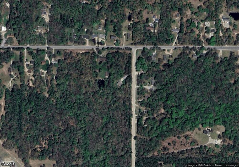
Map
Nearby Homes
- 3317 E Sternberg Rd
- 0 E Pontaluna Rd Unit 25045508
- VL - B E Sternberg Rd
- VL Farr Rd
- VL Lot 3 S Carr Rd
- 5630 Copper Sands Run
- 5702 N Turning Leaf Way
- 6218 Sturgeon Run
- 6250 Sturgeon Run
- 2532 Gray Wolf Way
- 2507 Gray Wolf Way
- 6268 Sturgeon Run
- 2489 Gray Wolf Way
- 6308 Sturgeon Run
- 2468 Gray Wolf Way
- 6326 Sturgeon Run
- 2471 Gray Wolf Way
- 6691 E Point Dr
- 2539 Otter Place
- 2451 Otter Place
- 5434 Stringer Rd
- 5454 Stringer Rd
- 5476 Stringer Rd
- 3759 E Sternberg Rd
- 5528 Stringer Rd
- 3837 E Sternberg Rd
- 5542 Stringer Rd
- 3661 E Sternberg Rd
- 3905 E Sternberg Rd
- 3625 E Sternberg Rd
- 3919 E Sternberg Rd
- 3770 E Sternberg Rd
- 3788 E Sternberg Rd
- 3611 E Sternberg Rd
- 3758 E Sternberg Rd
- 3740 E Sternberg Rd
- 3832 E Sternberg Rd
- 5556 Stringer Rd
- 5655 Stringer Rd
- 5626 Stringer Rd
Your Personal Tour Guide
Ask me questions while you tour the home.