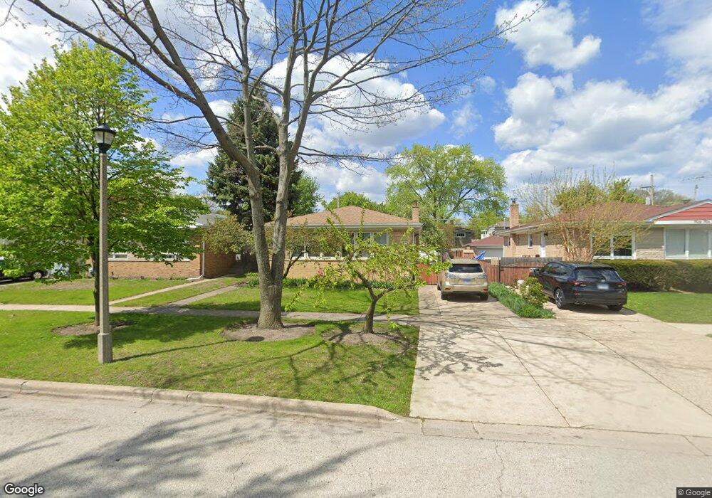
5446 Main St Skokie, IL 60077
Southwest Skokie NeighborhoodEstimated Value: $393,000 - $495,000
3
Beds
2
Baths
1,288
Sq Ft
$348/Sq Ft
Est. Value
About This Home
This home is located at 5446 Main St, Skokie, IL 60077 and is currently estimated at $448,615, approximately $348 per square foot. 5446 Main St is a home located in Cook County with nearby schools including Madison Elementary School, Thomas Edison Elementary School, and Lincoln Junior High School.
Ownership History
Date
Name
Owned For
Owner Type
Purchase Details
Closed on
Sep 30, 1993
Sold by
Choi David K and Choi Jennifer K
Bought by
Gilman Michael and Gilman Lyudmila
Current Estimated Value
Home Financials for this Owner
Home Financials are based on the most recent Mortgage that was taken out on this home.
Original Mortgage
$142,400
Interest Rate
6.82%
Create a Home Valuation Report for This Property
The Home Valuation Report is an in-depth analysis detailing your home's value as well as a comparison with similar homes in the area
Home Values in the Area
Average Home Value in this Area
Purchase History
| Date | Buyer | Sale Price | Title Company |
|---|---|---|---|
| Gilman Michael | $118,666 | -- |
Source: Public Records
Mortgage History
| Date | Status | Borrower | Loan Amount |
|---|---|---|---|
| Previous Owner | Gilman Michael | $142,400 |
Source: Public Records
Tax History
| Year | Tax Paid | Tax Assessment Tax Assessment Total Assessment is a certain percentage of the fair market value that is determined by local assessors to be the total taxable value of land and additions on the property. | Land | Improvement |
|---|---|---|---|---|
| 2025 | $3,845 | $19,039 | $5,038 | $14,001 |
| 2024 | $3,845 | $14,716 | $4,225 | $10,491 |
| 2023 | $3,819 | $14,716 | $4,225 | $10,491 |
| 2022 | $3,819 | $14,716 | $4,225 | $10,491 |
| 2021 | $2,937 | $10,774 | $2,600 | $8,174 |
| 2020 | $2,674 | $10,774 | $2,600 | $8,174 |
| 2019 | $2,642 | $12,040 | $2,600 | $9,440 |
| 2018 | $2,849 | $10,707 | $2,356 | $8,351 |
| 2017 | $3,365 | $10,707 | $2,356 | $8,351 |
| 2016 | $3,290 | $10,707 | $2,356 | $8,351 |
| 2015 | $3,009 | $9,475 | $2,031 | $7,444 |
| 2014 | $2,949 | $9,475 | $2,031 | $7,444 |
| 2013 | $2,980 | $9,475 | $2,031 | $7,444 |
Source: Public Records
Map
Nearby Homes
- 8314 Gross Point Rd
- 5526 Main St
- 5510 Lincoln Ave Unit B101
- 5510 Lincoln Ave Unit B205
- 5506 Lincoln Ave Unit A517
- 5506 Lincoln Ave Unit A315
- 5506 Lincoln Ave Unit A122
- 5506 Lincoln Ave Unit A316
- 5533 Lincoln Ave
- 8541 Lotus Ave Unit 712
- 8443 Gross Point Rd
- 5341 Greenleaf St
- 8646 Harms Rd
- 5251 Greenleaf St
- 8511 Mango Ave
- 5312 Conrad St
- 5237 Conrad St
- 8708 Central Ave
- 8206 Mango Ave
- 5804 Madison St
Your Personal Tour Guide
Ask me questions while you tour the home.