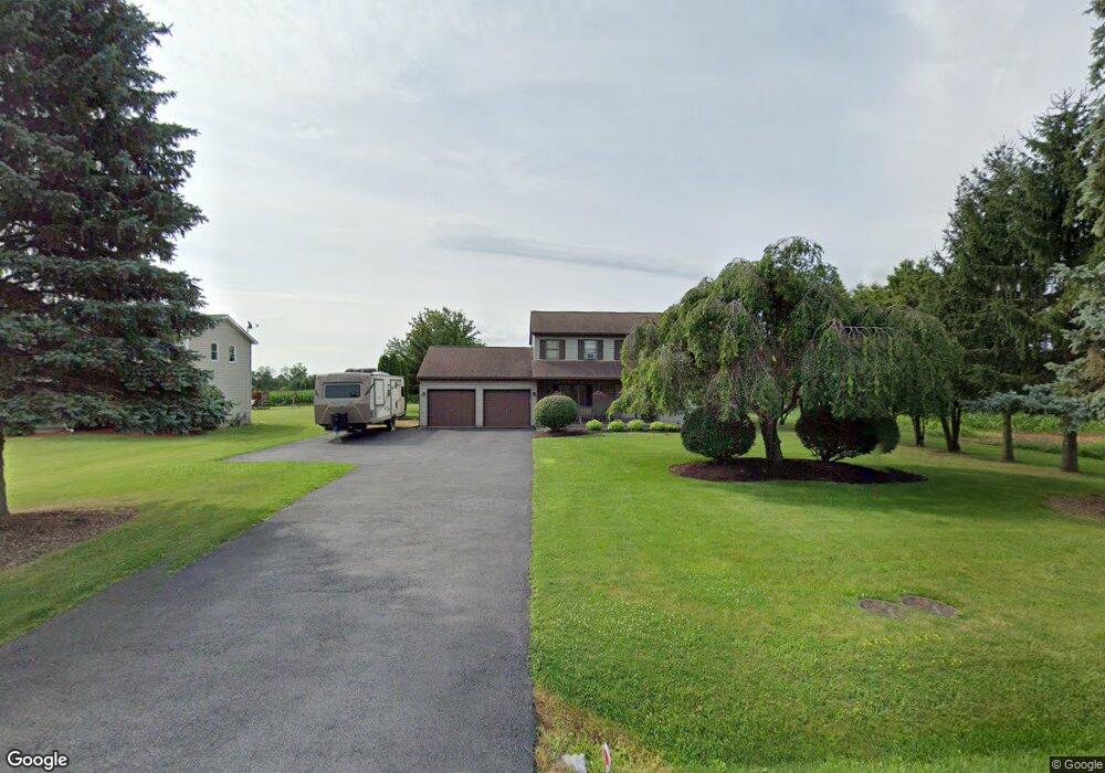
5447 Thomas Rd Canandaigua, NY 14424
Estimated Value: $399,000 - $486,000
4
Beds
3
Baths
2,148
Sq Ft
$203/Sq Ft
Est. Value
About This Home
This home is located at 5447 Thomas Rd, Canandaigua, NY 14424 and is currently estimated at $436,389, approximately $203 per square foot. 5447 Thomas Rd is a home located in Ontario County with nearby schools including Canandaigua Primary-Elementary School, Canandaigua Middle School, and Canandaigua Academy.
Ownership History
Date
Name
Owned For
Owner Type
Purchase Details
Closed on
Sep 19, 2008
Sold by
Dennis Brian
Bought by
Kemp John
Current Estimated Value
Home Financials for this Owner
Home Financials are based on the most recent Mortgage that was taken out on this home.
Original Mortgage
$159,920
Outstanding Balance
$91,824
Interest Rate
6.54%
Estimated Equity
$344,565
Purchase Details
Closed on
May 7, 1998
Sold by
Stubbings Jaw B
Bought by
Dennis Brian and Dennis Bonnie
Create a Home Valuation Report for This Property
The Home Valuation Report is an in-depth analysis detailing your home's value as well as a comparison with similar homes in the area
Home Values in the Area
Average Home Value in this Area
Purchase History
| Date | Buyer | Sale Price | Title Company |
|---|---|---|---|
| Kemp John | $199,900 | Albert S Kusak | |
| Dennis Brian | $150,000 | -- |
Source: Public Records
Mortgage History
| Date | Status | Borrower | Loan Amount |
|---|---|---|---|
| Open | Kemp John | $159,920 |
Source: Public Records
Tax History Compared to Growth
Tax History
| Year | Tax Paid | Tax Assessment Tax Assessment Total Assessment is a certain percentage of the fair market value that is determined by local assessors to be the total taxable value of land and additions on the property. | Land | Improvement |
|---|---|---|---|---|
| 2024 | $7,459 | $313,100 | $31,800 | $281,300 |
| 2023 | $7,526 | $313,100 | $31,800 | $281,300 |
| 2022 | $6,165 | $209,000 | $26,500 | $182,500 |
| 2021 | $6,004 | $209,000 | $26,500 | $182,500 |
| 2020 | $5,305 | $209,000 | $26,500 | $182,500 |
| 2019 | $0 | $209,000 | $26,500 | $182,500 |
| 2018 | $5,249 | $209,000 | $26,500 | $182,500 |
| 2017 | $5,132 | $200,500 | $25,300 | $175,200 |
| 2016 | $5,002 | $200,500 | $25,300 | $175,200 |
| 2015 | -- | $200,500 | $25,300 | $175,200 |
| 2014 | -- | $200,500 | $25,300 | $175,200 |
Source: Public Records
Map
Nearby Homes
- 2409 (Lot 6) Brickyard Rd
- 5605 (Lot 2) Thomas Rd
- 5575 (Lot 1) Thomas Rd
- 5635 (Lot 3) Thomas Rd
- 2128 County Road 8
- 23 Keuka Ln
- 5050 Emerson Rd
- 182 Kennedy St
- 135 Deseyn Dr
- 5555 Purdy Rd
- 5246 Overlook Ln
- 55 Fort Hill Ave
- 120 Fort Hill Ave
- 34 Dungan St
- 40 Dungan St
- 104 N Main St
- 154 W Gibson St
- 201 W Gibson St
- 0 Route 21 S Unit R1587258
- 127 Park Ave