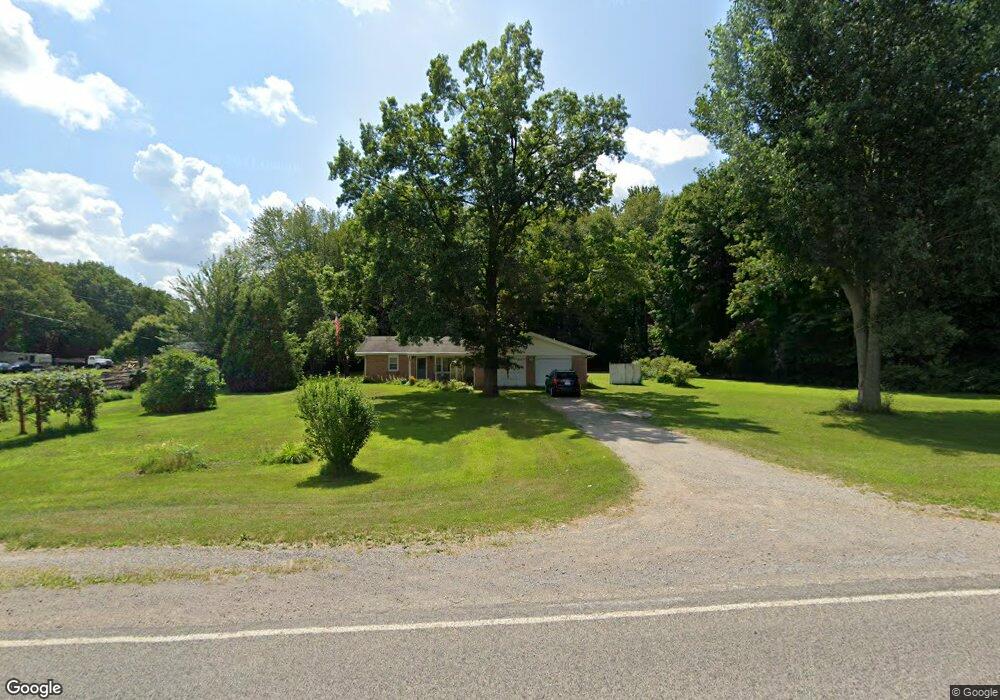
5448 Curtis Rd Bridgeport, MI 48722
Estimated Value: $201,000 - $232,000
3
Beds
3
Baths
1,366
Sq Ft
$157/Sq Ft
Est. Value
About This Home
This home is located at 5448 Curtis Rd, Bridgeport, MI 48722 and is currently estimated at $214,154, approximately $156 per square foot. 5448 Curtis Rd is a home located in Saginaw County with nearby schools including Thomas White School, Iuka Elementary School, and Martin G. Atkins Elementary School.
Ownership History
Date
Name
Owned For
Owner Type
Purchase Details
Closed on
Jun 4, 2013
Sold by
Himmelein Kenneth L and Himmelein Ann K
Bought by
Himmelein Kenneth L and Himmelein Ann K
Current Estimated Value
Purchase Details
Closed on
Apr 26, 2005
Sold by
Himmelein Kenneth L and Himmelein Ann K
Bought by
Himmelein Kenneth L and Himmelein Ann K
Purchase Details
Closed on
Nov 29, 2000
Sold by
Himmelein Kenneth L and Himmelein Ann K
Bought by
Himmelein Melvin K
Create a Home Valuation Report for This Property
The Home Valuation Report is an in-depth analysis detailing your home's value as well as a comparison with similar homes in the area
Home Values in the Area
Average Home Value in this Area
Purchase History
| Date | Buyer | Sale Price | Title Company |
|---|---|---|---|
| Himmelein Kenneth L | -- | -- | |
| Himmelein Kenneth L | -- | -- | |
| Himmelein Kenneth L | -- | -- | |
| Himmelein Melvin K | -- | -- |
Source: Public Records
Tax History Compared to Growth
Tax History
| Year | Tax Paid | Tax Assessment Tax Assessment Total Assessment is a certain percentage of the fair market value that is determined by local assessors to be the total taxable value of land and additions on the property. | Land | Improvement |
|---|---|---|---|---|
| 2025 | $2,357 | $94,000 | $0 | $0 |
| 2024 | $622 | $90,300 | $0 | $0 |
| 2023 | $593 | $76,800 | $0 | $0 |
| 2022 | $1,984 | $68,100 | $0 | $0 |
| 2021 | $1,819 | $59,900 | $0 | $0 |
| 2020 | $1,775 | $56,300 | $0 | $0 |
| 2019 | $1,682 | $53,000 | $8,200 | $44,800 |
| 2018 | $517 | $54,900 | $0 | $0 |
| 2017 | $1,522 | $52,100 | $0 | $0 |
| 2016 | $1,648 | $50,300 | $0 | $0 |
| 2014 | -- | $44,900 | $0 | $37,300 |
| 2013 | -- | $44,600 | $0 | $0 |
Source: Public Records
Map
Nearby Homes
- 7720 Rookway Rd
- Parcel E W Rolling Hills Dr
- Parcel B W Rolling Hills Dr
- Parcel D W Rolling Hills Dr
- Parcel F W Rolling Hills Dr
- Parcel C W Rolling Hills Dr
- 3875 Curtis Rd
- 4333 Riverview Dr
- 6605 Bridgeport Hwy
- 5430 Busch Rd
- 7965 Dixie Hwy
- 7110 Townline Rd
- VL Fort Rd
- 6412 Tin Lizzy Ln
- 6580 Bell Rd
- 5885 McGrandy Rd
- 3130 E Moore Rd
- 9750 Marshall Rd
- 8780 Dixie Hwy
- 6250 Dixie Hwy