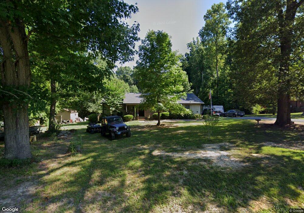
5449 Foushee Rd Ramseur, NC 27316
Estimated Value: $286,442 - $326,000
--
Bed
2
Baths
2,060
Sq Ft
$150/Sq Ft
Est. Value
About This Home
This home is located at 5449 Foushee Rd, Ramseur, NC 27316 and is currently estimated at $309,611, approximately $150 per square foot. 5449 Foushee Rd is a home located in Randolph County with nearby schools including Ramseur Elementary School, Southeastern Randolph Middle School, and Eastern Randolph High School.
Ownership History
Date
Name
Owned For
Owner Type
Purchase Details
Closed on
Dec 1, 2009
Sold by
Craven David W
Bought by
Mccorquodale Christopher M and Mccorquodale Christie D
Current Estimated Value
Home Financials for this Owner
Home Financials are based on the most recent Mortgage that was taken out on this home.
Original Mortgage
$132,400
Outstanding Balance
$86,363
Interest Rate
4.98%
Mortgage Type
New Conventional
Estimated Equity
$223,248
Create a Home Valuation Report for This Property
The Home Valuation Report is an in-depth analysis detailing your home's value as well as a comparison with similar homes in the area
Home Values in the Area
Average Home Value in this Area
Purchase History
| Date | Buyer | Sale Price | Title Company |
|---|---|---|---|
| Mccorquodale Christopher M | $150,000 | None Available |
Source: Public Records
Mortgage History
| Date | Status | Borrower | Loan Amount |
|---|---|---|---|
| Open | Mccorquodale Christopher M | $132,400 |
Source: Public Records
Tax History Compared to Growth
Tax History
| Year | Tax Paid | Tax Assessment Tax Assessment Total Assessment is a certain percentage of the fair market value that is determined by local assessors to be the total taxable value of land and additions on the property. | Land | Improvement |
|---|---|---|---|---|
| 2025 | $1,267 | $197,230 | $61,380 | $135,850 |
| 2024 | $1,267 | $197,230 | $61,380 | $135,850 |
| 2023 | $1,267 | $197,230 | $61,380 | $135,850 |
| 2022 | $957 | $123,210 | $29,100 | $94,110 |
| 2021 | $957 | $123,210 | $29,100 | $94,110 |
| 2020 | $932 | $123,210 | $29,100 | $94,110 |
| 2019 | $25 | $123,210 | $29,100 | $94,110 |
| 2018 | $977 | $125,830 | $22,280 | $103,550 |
| 2016 | $976 | $125,832 | $22,280 | $103,552 |
| 2015 | $954 | $125,832 | $22,280 | $103,552 |
| 2014 | $957 | $125,832 | $22,280 | $103,552 |
Source: Public Records
Map
Nearby Homes
- 5182 Foushee Rd
- 324 Elam Ave
- 309 Elam Ave
- 1001 Meadowood Dr
- 545 Coleridge Rd
- 7187 Jordan Rd
- 507 Columbia Ave
- 0 State Highway 49
- 715 Liberty St
- 321 Coleridge Rd
- 4737 Huntingwood Rd
- 4650 Huntingwood Rd
- 4659 Huntingwood Rd
- 2050 Welborn Cir
- 2110 Newell St
- 8521 Us Highway 64 E
- 5713 Us Highway 64 E
- 0 Mulberry Academy St Unit 1198788
- 156 White Poplar St
- 4242 Lake Ridge Ct
- 5453 Foushee Rd
- 5455 Foushee Rd
- 5440 Foushee Rd
- 5467 Foushee Rd
- 5438 Foushee Rd
- 5425 Foushee Rd
- 5468 Foushee Rd
- 5490 Foushee Rd
- 5380 Foushee Rd
- 5504 Foushee Rd
- 5528 Foushee Rd
- 5534 Foushee Rd
- 5353 Foushee Rd
- 5371 Huff Country Trail
- 748 Canoy Farm Rd
- 5474 Huff Country Trail
- 5567 Foushee Rd
- 734 Canoy Farm Rd
- 814 Canoy Farm Rd
- 5191 Foushee Rd