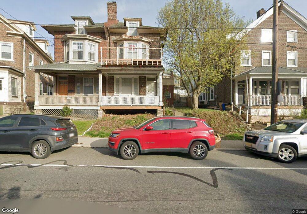
5449 Ridge Ave Philadelphia, PA 19128
Wissahickon NeighborhoodEstimated Value: $437,000 - $484,684
5
Beds
1
Bath
1,920
Sq Ft
$236/Sq Ft
Est. Value
About This Home
This home is located at 5449 Ridge Ave, Philadelphia, PA 19128 and is currently estimated at $453,895, approximately $236 per square foot. 5449 Ridge Ave is a home located in Philadelphia County with nearby schools including Cook-Wissahickon School, Roxborough High School, and Green Woods CS.
Ownership History
Date
Name
Owned For
Owner Type
Purchase Details
Closed on
Mar 28, 2003
Sold by
Rabiger Ryan E and Rendeiro David R
Bought by
Angstadt Robert T
Current Estimated Value
Home Financials for this Owner
Home Financials are based on the most recent Mortgage that was taken out on this home.
Original Mortgage
$123,500
Outstanding Balance
$53,483
Interest Rate
5.86%
Mortgage Type
Commercial
Estimated Equity
$400,412
Create a Home Valuation Report for This Property
The Home Valuation Report is an in-depth analysis detailing your home's value as well as a comparison with similar homes in the area
Home Values in the Area
Average Home Value in this Area
Purchase History
| Date | Buyer | Sale Price | Title Company |
|---|---|---|---|
| Angstadt Robert T | $130,000 | -- |
Source: Public Records
Mortgage History
| Date | Status | Borrower | Loan Amount |
|---|---|---|---|
| Open | Angstadt Robert T | $123,500 |
Source: Public Records
Tax History Compared to Growth
Tax History
| Year | Tax Paid | Tax Assessment Tax Assessment Total Assessment is a certain percentage of the fair market value that is determined by local assessors to be the total taxable value of land and additions on the property. | Land | Improvement |
|---|---|---|---|---|
| 2025 | $3,740 | $412,700 | $82,540 | $330,160 |
| 2024 | $3,740 | $412,700 | $82,540 | $330,160 |
| 2023 | $3,740 | $267,200 | $53,400 | $213,800 |
| 2022 | $3,364 | $267,200 | $53,400 | $213,800 |
| 2021 | $3,364 | $0 | $0 | $0 |
| 2020 | $3,364 | $0 | $0 | $0 |
| 2019 | $2,976 | $0 | $0 | $0 |
| 2018 | $3,403 | $0 | $0 | $0 |
| 2017 | $3,403 | $0 | $0 | $0 |
| 2016 | $3,403 | $0 | $0 | $0 |
| 2015 | $3,258 | $0 | $0 | $0 |
| 2014 | -- | $243,100 | $56,166 | $186,934 |
| 2012 | -- | $28,800 | $4,749 | $24,051 |
Source: Public Records
Map
Nearby Homes
- 5460 Ridge Ave
- 559 Righter St
- 367 W Salaignac St
- 423 Righter St
- 3823 Lauriston St
- 3811 Lauriston St
- 243 Lauriston St
- 474 Markle St
- 534 Seville St
- 174-76 Lauriston St
- 4015 Mitchell St
- 371 Dawson St
- 5246 Ridge Ave
- 4024 Pechin St
- 3811 Manayunk Ave
- 5236 Ridge Ave
- 354 Dawson St
- 386 Dawson St
- 446 Kingsley St
- 600 Seville St
- 5447 Ridge Ave
- 5451 Ridge Ave
- 5445 Ridge Ave
- 5453 Ridge Ave
- 5455 Ridge Ave Unit 3FL
- 5455 Ridge Ave Unit 3
- 5455 Ridge Ave Unit 1FL
- 5455 Ridge Ave
- 5455 Ridge Ave Unit 2
- 5443 Ridge Ave
- 542 Righter St
- 540 Righter St
- 544 Righter St
- 538 Righter St
- 536 Righter St
- 5441 Ridge Ave
- 534 Righter St
- 532 Righter St
- 530 Righter St
- 5448 Ridge Ave